Illustrated guide · Sicily
Where Greek Sicily
began
Ten places through which to read the first Greek colony in Sicily: its landing place, houses, streets, sanctuaries, walls, shipsheds, museum and the bay that kept its memory alive.
Explore the placesThe coast below Taormina
Below Taormina, another beginning waits close to the ground.
During the family holidays that brought us to Taormina, the bay below belonged to the same landscape of sea, road and return. Yet Giardini Naxos cannot be treated as a footnote to the town on the hill.
Here the story changes scale. Low lava-stone walls, street foundations and fragments of roofs preserve the first documented Greek colony in Sicily. The evidence is quieter than Taormina's theatre, but its historical reach is greater than its height suggests.
Before the theatre on the hill, there was a city beside the bay.
One destination
Naxos,
a city in the ground.
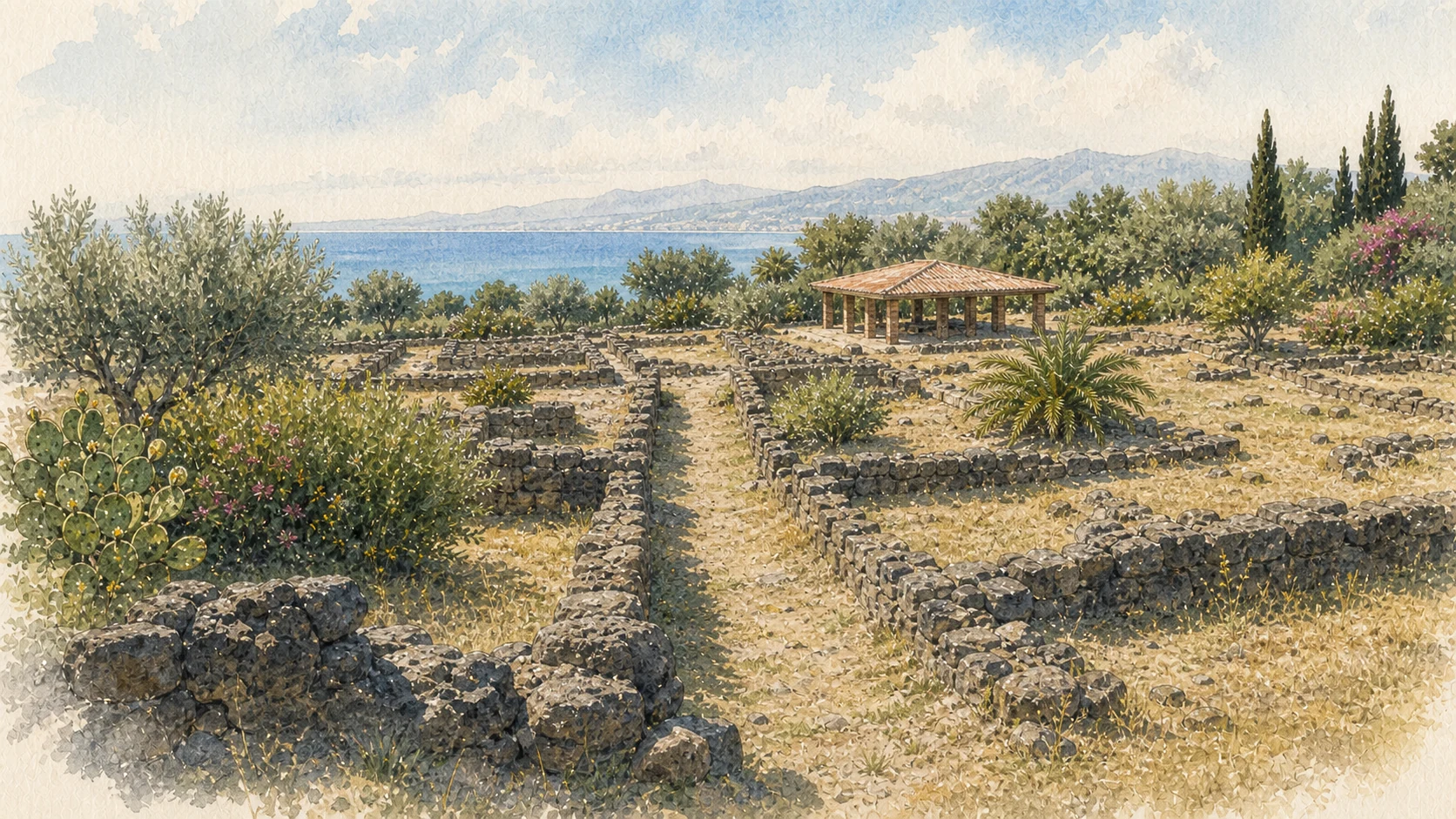
Ancient Naxos occupied the lava platform of Capo Schisò and the land immediately north of it, between the Santa Venera stream and a bay that served as the colony's harbour. The archaeological park extends across roughly forty hectares, but much of what matters is read through plans rather than standing façades.
The guide therefore follows alignments, construction phases and finds. It distinguishes the first settlement of the late eighth century BC from the archaic city and the rigorously organised classical grid, and it keeps ancient Naxos separate from both modern Giardini Naxos and later Tauromenion.
The selection
Ten readings,
one first city
The route begins with the geography of Capo Schisò, crosses the earliest houses and the classical grid, then connects sanctuaries, defences, maritime infrastructure, museum collections and the continuing life of the bay.
- 01Capo Schisò and the Archaeological Park
- 02The First Settlement and House 5
- 03Plateiai, Stenopoi and the Classical Grid
- 04The South-Western Sanctuary
- 05The Archaic Walls at Santa Venera
- 06The Naval Arsenal and Neoria
- 07Archaeological Museum of Naxos
- 08Architectural Terracottas and Silenus Masks
- 09The Heidelberg–Naxos Arula
- 10The Bay and Modern Giardini Naxos
A city set on a lava platform
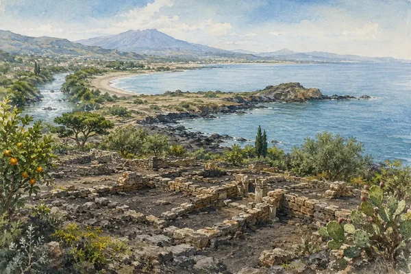
Capo Schisò and the Archaeological Park
The promontory, stream and bay explain why the first Greek colony in Sicily was founded here.

The place today
The archaeological area spreads south of the modern centre of Giardini Naxos. Its remains are mostly low: wall lines, road beds, house foundations and sacred enclosures distributed through vegetation and open ground. The museum near the harbour provides the clearest entrance to a landscape that must be reconstructed by walking and reading.
The historical chapter
Naxos occupied approximately forty hectares on and north of the lava platform of Capo Schisò, bounded by the Santa Venera stream to the west and the broad bay to the east. The sheltered landing and the short crossing from the Italian mainland helped make this coast a strategic point for the first permanent Greek settlement in Sicily around 734 BC.
What to notice
- The relationship between the flat lava platform and the sheltered bay
- How little vertical architecture is needed to preserve a complete urban plan
- The physical separation between the archaeological park and modern streets
Late eighth-century homes below a later avenue
The First Settlement and House 5
Thirteen early dwellings beneath Plateia A preserve the domestic scale of the founding generations.

The place today
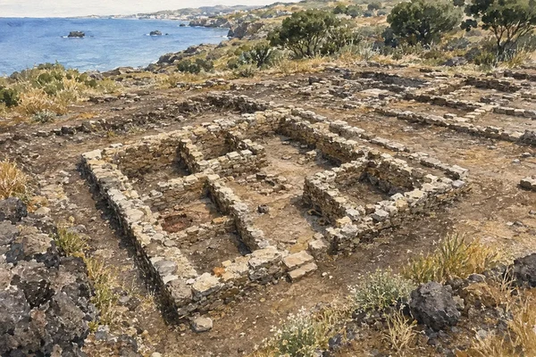
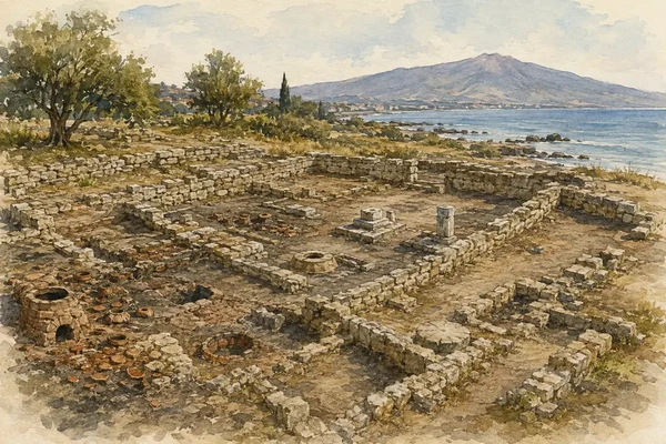
A deep section along Plateia A reveals structures earlier than the classical street above them. The remains are modest rectangles rather than monumental ruins. House 5 is the most complete example, while the other dwellings survive as partial plans that reward attention to their different levels and orientations.
The historical chapter
The thirteen houses belong to the end of the eighth century BC, close to the colony's foundation. Most are rectangular. Their survival beneath the principal east-west avenue of the fifth-century city makes the superimposition unusually clear: a later generation imposed a regular plan over the more varied organisation of the first settlement.
What to notice
- The depth separating the earliest houses from the later street level
- The rectangular plan of House 5
- Changes of orientation that reveal more than one urban phase
The city reorganised by measurement
Plateiai, Stenopoi and the Classical Grid
Three broad avenues and narrower cross-streets preserve one of the clearest early Greek urban plans in the West.

The place today
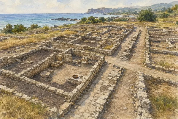
The walking route uses part of Plateia B and intersects the lines of houses and narrower streets. Low walls define long blocks in which rooms gather around central courtyards. At several junctions, small quadrangular bases may have served as street altars, placing ritual markers within the measured city.
The historical chapter
The regular grid belongs to the fifth-century reorganisation of Naxos. Three broad east-west axes — Plateiai A, B and C — were crossed at regular intervals by narrower north-south stenopoi. The plan followed the systematic destruction of earlier archaic buildings and fixed new blocks over a city whose first phases had used several orientations.
What to notice
- The hierarchy between broad plateiai and narrow stenopoi
- Central courtyards inside the long residential blocks
- Quadrangular bases at street corners and their possible ritual function

Sacred architecture beside the stream and sea
The South-Western Sanctuary
A walled temenos, altars, kilns and successive buildings show religion, craft and coastal access together.

The place today
High lava-block walls define a sacred enclosure near the mouth of the Santa Venera. Entrances connected it both to the city and to the shoreline. Inside are the remains of an early shrine, the larger Temple B, a processional altar, smaller altars and two kilns serving different kinds of sacred production.
The historical chapter
Cult activity began by the seventh century BC. A later building, Temple B, measured approximately thirty-eight by sixteen metres and carried an Ionian-inspired terracotta frieze of lotus flowers and palmettes. The deity is not securely identified: official descriptions cautiously refer to Hera or Aphrodite, and the uncertainty should be preserved rather than resolved by tourism shorthand.
What to notice
- The polygonal lava masonry of the temenos
- The relationship between processional altar, small altars and kilns
- Two propylon routes linking sanctuary, city and shore
Dark lava stone around the growing colony
The Archaic Walls at Santa Venera
Mid-sixth-century fortifications record the expansion and defence of the archaic city.

The place today
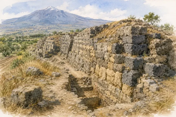
Sections of the wall survive along the stream side of the park and in the museum garden. Their large, irregular lava blocks contrast with the finer geometry of the later street grid. The wall is not a single scenic object; it must be followed in fragments across a landscape altered by excavation, agriculture and the modern town.
The historical chapter
The fortifications were built around the middle or later sixth century BC in polygonal masonry. They enclosed a city already larger and more organised than the first settlement. Ancient accounts and the municipal history note that they resisted the attack of Hippocrates of Gela around the beginning of the fifth century before being absorbed into later phases.
What to notice
- The weight and irregular fit of the lava blocks
- Where the wall meets the stream and the museum garden
- The difference between a defensive circuit and isolated wall fragments
Where warships were drawn out of the water
The Naval Arsenal and Neoria
A rare shipshed complex reconnects the excavated city with its ancient coastline and military harbour.

The place today
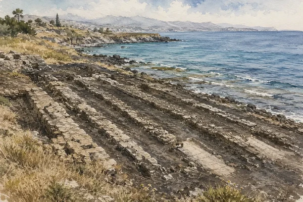
The arsenal lies near Via Larunchi, north of the main urban area and below the terrace associated with the agora. Its masonry and ramps are less familiar than the central park and access is managed separately. The complex is about twenty-eight metres wide; its seaward end is obscured by later coastal construction.
The historical chapter
The neoria developed between the late sixth and fifth centuries BC inside the fortifications. Its reconstructible length of forty to forty-two metres accommodated covered ramps on which vessels could be hauled ashore. The evidence also shows landscape change: the ancient shore lay roughly 160 metres behind the present line and the ancient sea level was about two metres higher at the complex.
What to notice
- The parallel logic of ramps designed for ships rather than people
- The higher agora terrace immediately to the south
- The distance between the ancient and present shorelines

The excavated city gathered into rooms
Archaeological Museum of Naxos
A museum built into a coastal fort explains the site through objects, plans and long archaeological research.

The place today
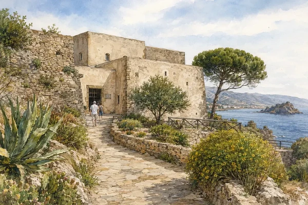
The museum stands on Capo Schisò beside the harbour and the entrance to the archaeological route. It occupies a Bourbon fort that incorporates a late-sixteenth-century watchtower. A section of the ancient wall crosses the garden, so the transition from displayed object to excavated city begins before the visitor leaves the building.
The historical chapter
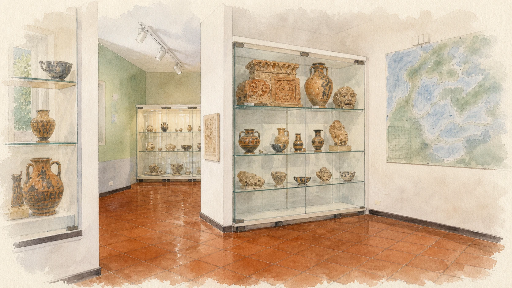
Most collections come from more than fifty years of excavations at Naxos. The display follows a chronological and topographical logic, joining pottery, architectural terracottas, coins, cult objects and maritime finds to the sectors where they were recovered. Smaller groups document Paolo Orsi's research and the contact between Greek settlers and indigenous Sicel communities.
What to notice
- The ancient wall continuing through the museum garden
- The fort and watchtower reused as a museum envelope
- Labels and plans that return each object to its excavation context
Colour and ritual above mud-brick walls
Architectural Terracottas and Silenus Masks
Roof revetments reveal an architecture far more colourful and experimental than the surviving foundations suggest.

The place today
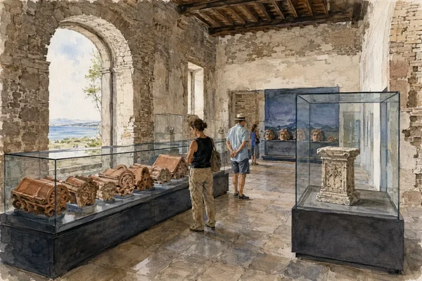
In the museum, painted slabs, antefixes and figural terracottas restore the upper edge of buildings that no longer stand. Silenus masks are especially numerous, but Gorgons, female heads, sphinxes, lotus flowers and palmettes show that Naxian roofs formed complex visual programmes rather than repetitive decoration.
The historical chapter
Archaic sacred buildings were generally modest rectangular structures with mud-brick walls on stone bases and no external colonnade. Their monumental effect came from polychrome terracotta roofs. Workshops at Naxos experimented with forms connected to Greece and southern Italy, while the persistence of Silenus imagery also reflects the importance of Dionysian cult and identity in the colony.
What to notice
- Traces of colour that contradict the idea of an all-white Greek city
- Differences between Silenus, Gorgon and female antefix types
- How roof decoration enlarged relatively small sacred buildings
An object divided and reunited
The Heidelberg–Naxos Arula
A sixth-century-BC altar with facing sphinxes carries a modern history of dispersal, recognition and return.

The place today
The recomposed terracotta arula is one of the museum's most eloquent objects. Two sphinxes face one another across a vegetal motif. Its scale is intimate, but the clean join between fragments turns it into evidence both for the craft of Naxos and for the later movement of antiquities through collections.
The historical chapter
The object dates to about 530 BC. One fragment remained at Naxos after being purchased locally; another entered the University of Heidelberg collection after its acquisition in 1904. Archaeologist Paola Pelagatti recognised the match in 1985, and the Heidelberg fragment was transferred in 1997 so that the arula could be reunited in Naxos.
What to notice
- The symmetry of the facing sphinxes
- The visible relationship between the two reunited fragments
- How provenance becomes part of an object's historical meaning
A harbour outliving the ancient city
The Bay and Modern Giardini Naxos
The modern waterfront preserves the geographical reason for Naxos while belonging to a much later town.

The place today
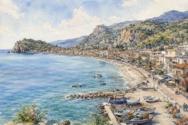
The bay is now lined by the modern town, beaches, fishing and leisure craft. The museum's stone anchors and lead anchor stocks recover a different maritime scale, while Capo Schisò and the archaeological zone interrupt the continuous tourist frontage with the physical memory of the colony.
The historical chapter
After Dionysius I destroyed Naxos in 403 BC, the city did not recover its former political rank, but the harbour remained active through antiquity. Settlement history later took another path: the Borgo delli Giardini developed along the coast and became an autonomous municipality named Giardini in 1847; the name Giardini Naxos now joins modern town and ancient predecessor without making them identical.
What to notice
- The sheltered shape of the bay as seen from Capo Schisò
- Ancient anchors displayed in relation to the modern harbour
- The boundary between archaeological land and the living waterfront
The city through time
Ten dates for orientation
A compact chronology showing how a landing became a colony, a measured city, a destroyed political centre, an enduring harbour and finally part of the name of the modern town.
Settlers associated with Chalcis in Euboea and Naxos in the Cyclades establish Naxos, the first Greek colony in Sicily.
The first rectangular houses are built on Capo Schisò; thirteen survive beneath the later line of Plateia A.
The settlement expands and sacred areas develop around the margins of the growing city.
Naxos constructs its polygonal lava-stone walls, monumental sanctuary architecture and naval facilities.
Hieron of Syracuse expels the populations of Naxos and Katane and concentrates them at Leontinoi.
The Naxians return; the city is reorganised through the regular grid of plateiai, stenopoi and courtyard houses.
Naxos supports the Athenian expedition against Syracuse and serves the Athenian forces during the conflict.
Dionysius I of Syracuse captures and destroys Naxos; the population is enslaved and the territory transferred to Sicel communities.
Andromachus gathers Naxian exiles and descendants at Tauromenion, linking the histories of Naxos and Taormina without merging the two cities.
The coastal Borgo delli Giardini becomes an autonomous municipality, beginning the civic history of the modern town.
Before your visit
Practical information,
without turning it into promises
Read before walking
The park is extensive and its walls are low. Begin with the museum plans and chronological displays so that roads, houses and sanctuaries remain legible outdoors.
Separate access
The Naval Arsenal is not simply another stop on the main museum route and may require advance booking. Verify the current official access notice.
Ground and weather
Open archaeological terrain, summer heat and limited shade can change the pace of the visit. Footwear, water and weather should be considered without assuming universal accessibility.
Keep the names distinct
Ancient Naxos, modern Giardini Naxos and Taormina are historically connected but separate places. This guide does not use one as a label for the others.
Sources
The guide is based primarily on the Sicilian Region's Archaeological Park of Naxos and Taormina and the official museum and naval-arsenal records. The Municipality of Giardini Naxos provides a detailed institutional history of the colony, its sanctuaries, collections and the modern town. Dates are presented conservatively where literary traditions and archaeological phases do not align perfectly.
- Sicilian Region · Archaeological Park of Naxos and Taormina ↗
- Sicilian Region · Archaeological Park, English overview ↗
- Sicilian Region · Archaeological Museum of Naxos ↗
- Sicilian Region · Naval Arsenal of Naxos ↗
- Sicilian Region · Official opening hours ↗
- Municipality of Giardini Naxos · History ↗
- Municipality of Giardini Naxos · Archaeological Museum ↗
- Municipality of Giardini Naxos · The Neoria ↗
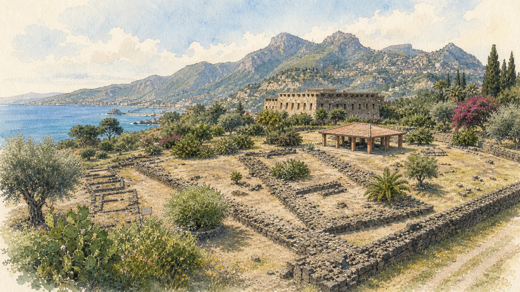
The hero image is an illustration, not a photograph. Opening hours, tickets, excavation routes, vegetation, conservation work and access to the Naval Arsenal can change; consult the official park and municipality pages shortly before visiting.