Illustrated guide · Sicily
The city where
Sicily becomes
horizon
Twenty places through which to read the island's high centre as fortress, sacred landscape, medieval city, civic museum, living ritual and protected lake.
Explore the placesA city at the centre of the island must be read outward as well as inward
Enna is often introduced through a superlative—one of Italy's highest provincial capitals—and then reduced to a castle, a view and a myth. The height is real, but it is only the condition that made a much longer history possible.
The eastern acropolis supported ancient cult and later fortification. Medieval and early-modern streets stretched westward along a narrow ridge. Churches, monasteries, palaces and squares organised neighbourhoods whose identity survives in processional routes. Museums now reconnect the high city with archaeological landscapes across central Sicily.
Below, Pergusa is neither a blue illustration of the abduction of Kore nor a decorative stop beside a racing circuit. It is a shallow, closed natural basin, a protected wetland and a living habitat whose water, reed beds, migration cycles and human pressures demand a different pace of attention.
This guide therefore moves from rock to street, from monument to ritual and from city to lake. It treats the myth as cultural geography, archaeology as material evidence and the panorama as a working landscape rather than an empty backdrop.
One destination
One high ridge, twenty places and an island visible in every direction.
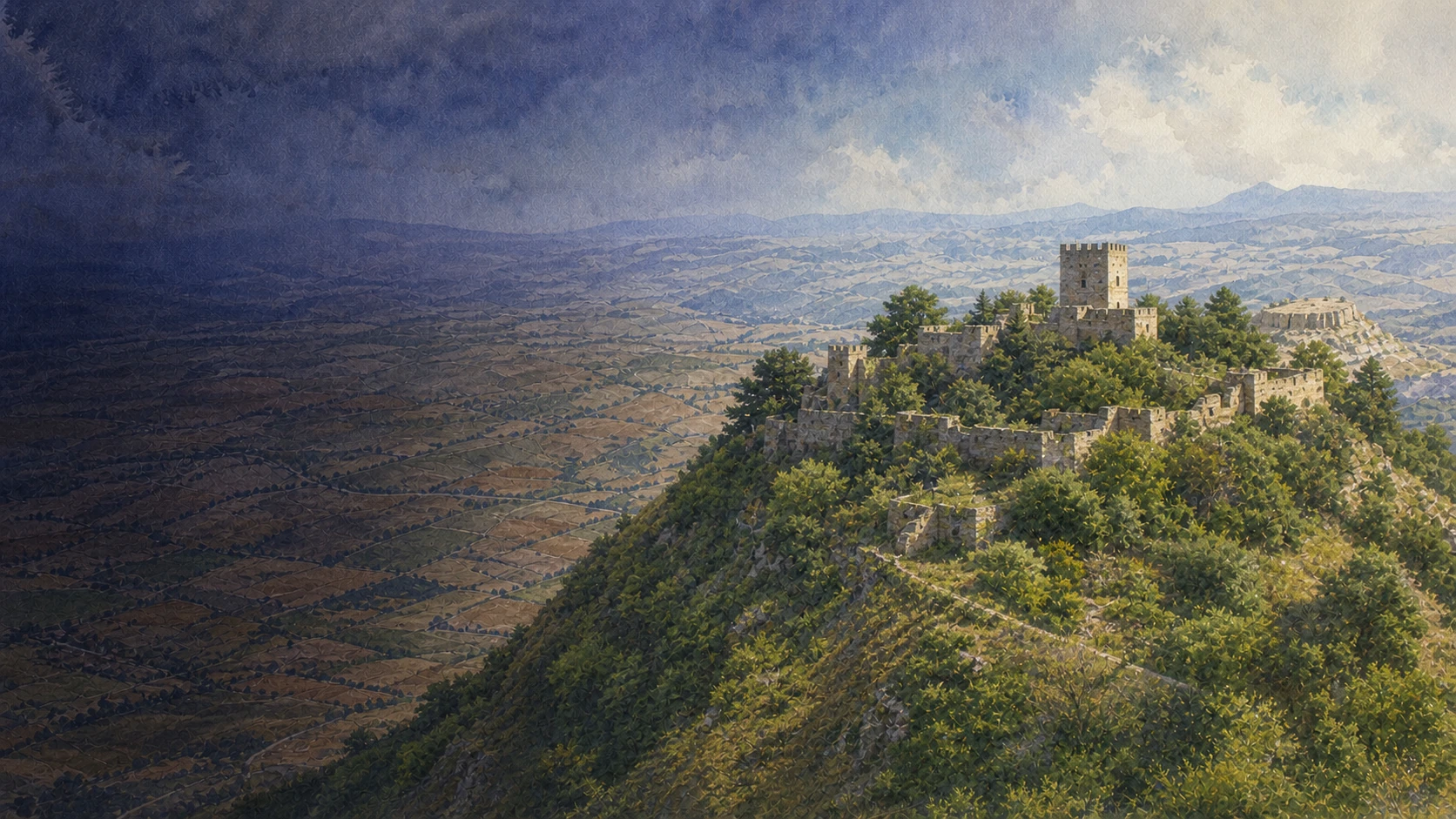
Enna Alta occupies a long, naturally defended ridge near the geographical centre of Sicily. The eastern end rises toward the Castello di Lombardia and Rocca di Cerere; Via Roma and connected streets run west through the Duomo, civic squares, churches and historic quarters before the city opens again toward the Torre di Federico and Montesalvo. Abrupt northern and southern slopes make views part of the urban structure rather than an optional attraction.
Ancient Henna was famous for the cult of Demeter and Kore. Literary testimony and archaeological traces confirm the sacred importance of the acropolis, but no securely exposed temple allows the modern visitor to identify one exact classical building. Medieval Muslim, Norman, Swabian and Aragonese phases transformed the defensible summit, while post-medieval religious foundations and civic institutions remade the ridge without flattening its older plan.
Pergusa lies several kilometres south, at about 667 metres within a closed basin of the Erei. The lake, wetland vegetation, surrounding hills, agricultural memory and twentieth-century motor-racing infrastructure occupy the same compact landscape. Understanding that difficult coexistence is part of understanding modern Enna.

The selection
Twenty places, from the acropolis to the lake
The first six chapters establish the eastern summit and its sacred-fortified landscape. Ten then cross the historic city and its institutions. The final four follow living ritual and the ecological basin of Pergusa.
- 01Enna Alta and the City Built Along a Ridge
- 02Castello di Lombardia, the Fortress at the Eastern Summit
- 03The Pisana Tower and the Castle Courts
- 04Rocca di Cerere and the Ancient Acropolis
- 05The Via Sacra, Rock Niches and Santa Ninfa
- 06The Museum of the Myth and a Contemporary Reading of Demeter
- 07The Duomo, Gothic Fabric and the Porta Santa
- 08Paladini, Woodwork and the Madonna della Visitazione
- 09Museo Alessi and the Treasury of the Chiesa Madre
- 10Palazzo Varisano and the Archaeology of Central Sicily
- 11San Cataldo, the Monumental Stair and Burials Below
- 12Santa Chiara, the Jesuit College and Piazza Colajanni
- 13San Marco, the Carmelite Monastery and the Memory of the Judeca
- 14Palazzo Chiaramonte, San Francesco and the Civic Centre
- 15The Belvedere, Modern Urbanism and the Proserpina Fountain
- 16The Torre di Federico and the Western Horizon
- 17Montesalvo and the Processional City
- 18Papardura, Rock, Water and the Lower Slopes
- 19Lake Pergusa as a Closed Natural Basin
- 20Riva dei Giunchi, Villa Zagaria and the Motor Circuit
STREETS, CLIFFS AND SUDDEN VIEWS EXPLAIN THE CITY BEFORE ANY SINGLE MONUMENT
Enna Alta and the City Built Along a Ridge
Enna's historic centre is a long inhabited summit whose geography directs every route, neighbourhood and panorama.

The place today
The principal urban spine runs broadly east to west through streets and squares linked to Via Roma. Buildings stand close to the road because usable land on the summit is narrow; side streets fall toward steep northern and southern edges, where retaining walls and belvederes open across the Dittaino valley, Erei and distant mountain chains. The castle and Rocca close the eastern end, while the Torre di Federico and Monte quarter anchor the west.
The historical chapter
Natural cliffs made the summit defensible and concentrated settlement from antiquity onward. Successive communities did not build separate cities beside one another: they reused the same ridge, entrances and water systems. Medieval quarters, monastic enclosures, early-modern palaces and modern civic buildings consequently overlap. The name Castrogiovanni, used for centuries, was officially replaced by Enna in 1927, reconnecting the modern capital with ancient Henna.
What to notice
- Walk at least one side street to the edge of the ridge; the relation between compact centre and open valleys is the city's primary urban fact.
- Do not describe every old wall as ancient. Enna's visible fabric is predominantly medieval, early-modern and modern over a much older occupied summit.
A VAST IRREGULAR FORTIFICATION TURNS THE HIGHEST GROUND INTO POLITICAL AND MILITARY ARCHITECTURE
Castello di Lombardia, the Fortress at the Eastern Summit
The castle is a sequence of walls, courts and transformations, not one intact Swabian building.

The place today
The fortress occupies the broad eastern plateau with a pentagonal outer form, heavy masonry, gateways, multiple courts and surviving towers. Only part of the original tower system remains standing, and paths or individual areas may close for works and events. Vegetation, reused stone and later repairs make construction phases difficult to separate at a glance. Its scale is understood by crossing the courts rather than photographing one entrance.
The historical chapter
The summit was fortified long before the present walls. Medieval Islamic, Norman and Swabian phases preceded major Aragonese use and modification. Frederick III of Aragon made the castle a royal residence around the beginning of the fourteenth century; Peter II also stayed here, and a Sicilian parliament met in the complex in 1458. Competing explanations of the name 'Lombardia' remain traditions rather than settled etymology.
What to notice
- Follow changes in masonry, ground level and alignment through the courts; the castle was not built in one campaign.
- Current ticketing and tower access can change. Verify the municipal monument page instead of assuming that every court is open.
THE SURVIVING HIGH TOWER CONVERTS A FORTRESS INTO A MAP OF CENTRAL SICILY
The Pisana Tower and the Castle Courts
The Pisana tower is the castle's strongest vertical landmark, but its meaning depends on the courts and sight lines below it.

The place today
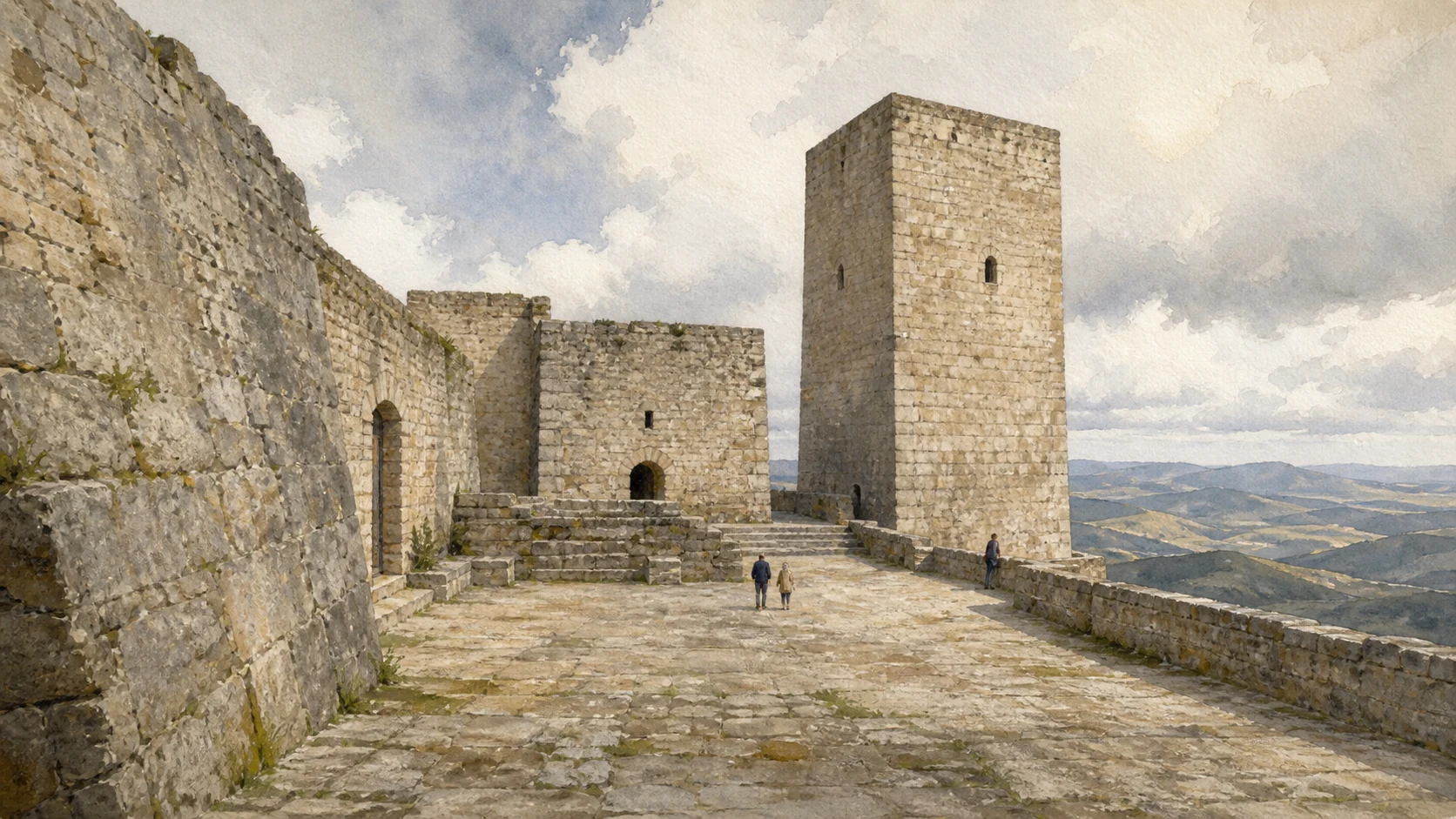
The square Pisana tower rises above the eastern sector with crenellated crown and restrained openings. When access is permitted, the ascent leads to a panoramic platform; the route includes stairs and exposed height. Below, the surviving courts—traditionally distinguished by names and changing functions—reveal how entrance, garrison, royal residence and protected inner zones were separated.
The historical chapter
The tower belongs to the medieval restructuring of a much older fortified plateau and has been repeatedly repaired. Its customary name has been associated with a Pisan garrison, but the surviving architecture does not by itself prove every story attached to it. Royal occupation in the Aragonese period changed the castle from a defensive enclosure into a political residence capable of hosting court and assembly.
What to notice
- From the tower, trace the Dittaino valley and routes rather than searching only for Etna; control of movement explains the fortress.
- Do not count modern crenellations or restored surfaces as untouched medieval fabric. Conservation is part of what makes the ascent possible.

A WORKED CALCARENITE CREST PRESERVES SACRED TOPOGRAPHY EVEN WHERE THE TEMPLE DOES NOT SURVIVE
Rocca di Cerere and the Ancient Acropolis
The Rocca is valuable as rock, viewpoint and archaeological problem—not as a platform for an imaginary reconstructed temple.

The place today
The isolated calcarenite outcrop rises immediately beyond the castle area. Cut surfaces, steps, cavities and fragmentary walls show repeated human intervention, while fencing and paths protect steep exposed edges. The agricultural landscape falls away on several sides, turning the rock into an extraordinary observatory. No standing classical temple identifies the ancient sanctuary for the visitor.
The historical chapter
Ancient Henna's acropolis was celebrated for the cult of Demeter and Kore. Cicero described sacred images and the fame of the sanctuary when denouncing Verres, but the precise location and architecture of the temples remain uncertain. The municipality considers the broad castle plateau a probable location, while the Rocca itself formed part of the temenos and ritual landscape. Later quarrying, fortification and reuse transformed the summit.
What to notice
- Look for worked rock and the spatial relationship with the castle plateau; absence of a standing temple is an important archaeological fact.
- Keep myth, ancient literary testimony and excavated material distinct. All contribute to meaning, but they are different kinds of evidence.
A PATH BELOW THE ROCCA CONNECTS WATER, CULT, AGRICULTURE AND LATER CHRISTIAN MEMORY
The Via Sacra, Rock Niches and Santa Ninfa
The sacred landscape extended beyond a summit building into approaches, niches, cisterns and changing ritual use.

The place today
The route climbs through the slopes below Rocca di Cerere, passing rock cuts, niches, a cistern and areas associated with the sanctuary of Santa Ninfa. It is a landscape path rather than a paved museum corridor; gradients, surface conditions and opening arrangements require checking. Vegetation and views toward the valley help explain how sacred approach and agricultural use shared the same hillside.
The historical chapter
The modern itinerary reconstructs a probable line of movement toward the ancient sacred summit while recognising medieval and later interventions. Rock niches and water installations have been interpreted within the ritual and productive history of the slope. After ancient cult declined, Christian dedication and farming reused the area. Individual identifications remain dependent on archaeological study and should not turn the entire path into a preserved classical procession route.
What to notice
- Treat the path as a stratified landscape: ancient, medieval, agricultural and modern interpretive elements are not all contemporary.
- Check municipal access and weather conditions before setting out; steep rock and vegetation can affect the route.
A MULTIMEDIA PROJECT TRANSLATES TEXT, LANDSCAPE AND ARCHAEOLOGY WITHOUT PRETENDING TO DISPLAY A LOST TEMPLE
The Museum of the Myth and a Contemporary Reading of Demeter
The museum is an interpretive introduction to Enna's sacred geography, not a substitute for the Rocca or archaeological collections.

The place today
The museum occupies the monumental area near the castle and Rocca, using projected image, sound and narration to explain Demeter, Kore-Persephone and the landscape of Enna. It is designed as a cultural experience rather than an object museum. The official municipal tourism portal currently reports it closed for renovation, so a visit must not be planned without checking for a confirmed reopening.
The historical chapter
The project was created to connect ancient sources, archaeological research, collective memory and environmental interpretation. Its multimedia form reflects a modern effort to make an absent or fragmentary sanctuary legible. That form also requires critical attention: reconstruction, artistic image and ancient evidence should remain visibly distinguishable even when combined in one narrative.
What to notice
- Confirm current status directly; the most recent municipal notice reports closure for renovation and gives no permanent promise of access.
- Use the museum to frame questions, then test its images against the actual rock, castle plateau and archaeological museum.
A FOURTEENTH-CENTURY FOUNDATION, FIRE AND LONG REBUILDING CREATED A CHURCH OF VISIBLE CONTRASTS
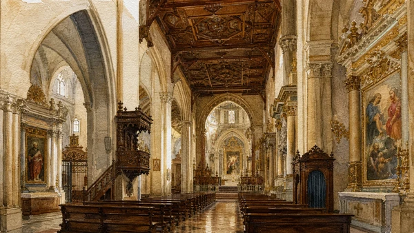
The Duomo, Gothic Fabric and the Porta Santa
Enna's cathedral-like Chiesa Madre is not a uniform Baroque monument; Gothic-Aragonese fabric remains embedded in later architecture.

The place today
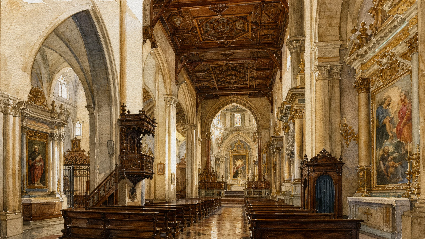
The basilica stands on a broad northern terrace reached by an imposing stair of warm Calascibetta sandstone. A tall bell tower and later main elevation dominate the approach, while the flank preserves pointed and carved medieval elements, including the sealed Porta Santa. Three naves and a transept organise the interior. Liturgical use, festivals and conservation can alter the visiting route.
The historical chapter
The church was founded in the Aragonese period and originally had a strongly Gothic character. Fire in 1446 destroyed much of the naves and roof but spared the three apses. A seven-year jubilee authorised by Pope Eugene IV supported reconstruction, remembered by the Porta Santa. The bell tower later collapsed in 1619, prompting further rebuilding and producing the layered exterior visible today.
What to notice
- Walk along the side elevation to compare the Gothic Porta Santa with later tower and façade work; the front alone conceals the sequence.
- The church is Enna's Chiesa Madre within the Diocese of Piazza Armerina; popular use of 'cathedral' should not confuse diocesan status.
PAINTING, CARVED WOOD, COLOURED MARBLE AND A LIVING PROCESSION TURN THE INTERIOR INTO CIVIC MEMORY
Paladini, Woodwork and the Madonna della Visitazione
The Duomo's art cannot be separated from the confraternity and the annual movement of the patronal image through Enna.

The place today
Carved choir stalls, organ loft, stucco, painted altarpieces and a richly finished Marian chapel fill the post-medieval interior. Five paintings by Filippo Paladini form a Marian cycle in the main apse; additional works are associated with Guglielmo Borremans and local commissions. The Vara known as the Nave d'Oro belongs to the church's living ceremonial equipment, not merely a museum object.
The historical chapter
Scipione di Guido carved the choir, organ loft and Vara in 1589. Later artists expanded the decoration through the seventeenth and eighteenth centuries. The Confraternity of Maria Santissima della Visitazione was formalised in 1874 to organise the community of bearers. On 2 July the Madonna travels from the Duomo through the city to Montesalvo, turning streets and neighbourhoods into an extension of the sacred interior.
What to notice
- Read painting, woodwork and processional furniture as ensembles created at different moments, not one single decorative programme.
- During worship or preparation for 2 July, respect barriers and community use; the church does not become a tourist set.

GOLDSMITHS' WORK, COINS AND SACRED OBJECTS GIVE MATERIAL DEPTH TO THE DUOMO'S PUBLIC RITUAL
Museo Alessi and the Treasury of the Chiesa Madre
The collection preserves centuries of patronage and devotion, but current access must be verified before the museum is promised.

The place today
The museum associated with the Duomo is known for its treasury: Sicilian goldsmiths' work from the Middle Ages to the nineteenth century, jewellery, liturgical objects and an elaborate Gothic-form monstrance. Numismatic and other historical collections have also belonged to the institution. The national cultural portal currently displays outdated all-days-closed data, while local discussion has concerned reopening; neither should be treated as a reliable permanent timetable.
The historical chapter
Canon Giuseppe Alessi assembled the civic and ecclesiastical collection in the nineteenth century. The treasury grew from objects used, donated and safeguarded by the Chiesa Madre rather than from antiquarian collecting alone. Crowns, pendants and precious settings express relationships among workshops, patrons, confraternities and the image of the Madonna della Visitazione.
What to notice
- Confirm reopening and entry with the Duomo or municipality; an institutional catalogue page may document the collection while carrying stale hours.
- Look beyond material value: technique, donor history and ritual use explain why these objects belong together.
A TOPOGRAPHIC MUSEUM RESTORES CONTEXT TO SITES THAT THE HIGH CITY ALONE CANNOT EXPLAIN
Palazzo Varisano and the Archaeology of Central Sicily
The regional museum extends Enna beyond its walls through finds from prehistoric, classical and medieval landscapes across the province.

The place today
Palazzo Varisano faces Piazza Mazzini near the Duomo. The museum route is organised by territories, sites and excavation contexts rather than by a gallery of isolated masterpieces. Displays connect objects to maps, research history and place of discovery. The eighteenth-century palace incorporates traces of a sixteenth-century predecessor, making the building itself part of the chronological experience.
The historical chapter
Collections derive from regional excavations, acquisitions and transfers, covering much of central Sicily while excluding territories served by their own museums at Aidone, Piazza Armerina and Centuripe. On 13 August 1863 Garibaldi addressed the city from Palazzo Varisano and ended with the phrase 'Rome or death', adding Risorgimento memory to an archaeological institution.
What to notice
- Follow the museum geographically. Identifying the site of origin is more useful than comparing objects only by age or beauty.
- Use the current regional park ticket page for access information; older national listings can show obsolete closure schedules.
AN EIGHTEENTH-CENTURY URBAN STAGE STANDS OVER MEDIEVAL WALLS, FLOORS AND ROCK-CUT TOMBS
San Cataldo, the Monumental Stair and Burials Below
San Cataldo demonstrates how rebuilding can preserve earlier evidence beneath a completely transformed church.

The place today
The church rises on a high terrace above Piazza Balata, reached by a long theatrical stair. Its current façade and single interior belong mainly to the eighteenth-century reconstruction, while paintings, marble works and a baptismal font preserve earlier commissions. Archaeological areas below the floor include walls, older pavement levels and graves cut into the rock; access may be more limited than entry to the church.
The historical chapter
San Cataldo is documented by 1308–10 and became a parish in 1561. Reconstruction began in 1749, continued under more than one architect and ended in 1770; the stair followed in 1771 and was rebuilt in its present arrangement in 1850. Excavations during modern works recovered burials, Aragonese-period coins and evidence for an earlier cult building rather than Roman catacombs in the usual sense.
What to notice
- Use the popular word 'catacombs' carefully: the excavated evidence includes rock-cut graves and earlier church structures, not an enormous underground Roman cemetery.
- The stair has many steps and worship affects access; verify whether the archaeological level is included in current opening.
A JESUIT CHURCH, CLARISSAN ENCLOSURE, MAIOLICA FLOOR AND WAR MEMORIAL OCCUPY ONE CIVIC SQUARE
Santa Chiara, the Jesuit College and Piazza Colajanni
Santa Chiara records institutional change through architecture rather than preserving one unaltered religious identity.

The place today
A broad stair leads from Piazza Napoleone Colajanni into a single-nave church. Iron grilles associated with enclosed nuns, an 1852 maiolica pavement and surviving paintings remain legible, while the post-war conversion to a memorial for the fallen changed the atmosphere and use. The former college continues in educational functions, keeping the square connected to civic life.
The historical chapter
The church and college belonged to the Jesuits until their expulsion from Sicily in 1767, after which the complex passed to the Poor Clares. The floor includes images of Saint Sophia of Constantinople and a steamship, probably recalling a vessel named Enna. After the Second World War the church became a war memorial. The square's monument commemorates Napoleone Colajanni, linking religious fabric to modern political memory.
What to notice
- Look for the unusual nineteenth-century steamship in the maiolica floor; it reveals modern imagery inside an older sacred building.
- Respect the memorial function and distinguish church, former convent, school and public square as related but separately used spaces.
RICH BAROQUE DECORATION OVERLIES A QUARTER WHOSE JEWISH HISTORY SURVIVES PRINCIPALLY IN TOPOGRAPHY AND NAME
San Marco, the Carmelite Monastery and the Memory of the Judeca
San Marco must be read both as a Carmelite church and as a place where a displaced community remains difficult to see.

The place today
The single-nave interior is densely decorated with stucco, a painted false dome, gilded wooden high altar, side paintings and screened openings once used by Discalced Carmelite nuns. The surrounding lanes retain the name Judeca in local memory. No intact synagogue interior is visible beneath the church, so the older layer is approached through documents and urban history rather than a tourist reconstruction.
The historical chapter
San Marco was founded in the first half of the sixteenth century after the expulsion of Jews from Sicily in 1492. Municipal tradition places it over the former great synagogue of the Jewish quarter, but that association should be presented as documented local history requiring archaeological caution. The Carmelite monastery shaped the enclosed openings, devotional objects and later decoration that dominate the building today.
What to notice
- Do not turn the Judeca into a romantic vanished ghetto. Ask what documentary, topographic and material evidence actually survives.
- Notice the grilles and visual axes created for enclosed nuns; monastic rules helped determine the interior architecture.
A NOBLE PALACE BECAME A FRANCISCAN COMPLEX AND HELPED DEFINE ENNA'S PRINCIPAL PUBLIC SQUARE
Palazzo Chiaramonte, San Francesco and the Civic Centre
Piazza Vittorio Emanuele is a civic and religious hinge whose medieval aristocratic fabric survives through reuse.

The place today
The former Chiaramonte palace and Franciscan complex face the square still commonly called San Francesco. Church, cloister, historic rooms and civic cultural spaces occupy an ensemble altered many times. Paintings, a double-sided cross, woodwork and the proportions of the cloister reward a visit beyond the public façade. Current room and gallery access should be checked separately from church access.
The historical chapter
Franciscans first established themselves in the Janniscuru area. In 1393 King Martin granted them palaces associated with Andrea Chiaramonte and Scaloro degli Uberti, which were adapted into convent and church. Aristocratic property thus became an enduring religious institution at the centre of urban life. Later civic and gallery uses continued the pattern of transformation rather than returning the building to an imagined original state.
What to notice
- Read palace masonry, convent plan and church decoration as successive uses of one complex.
- The names Piazza Vittorio Emanuele and Piazza San Francesco reflect official and lived geography; both help orient the historic centre.
A DEMOLISHED CHURCH, A TWENTIETH-CENTURY TERRACE AND A COPY OF BERNINI TURN PANORAMA INTO CIVIC THEATRE
The Belvedere, Modern Urbanism and the Proserpina Fountain
Enna's best-known promenade is a modern transformation that frames older landscape and mythology.

The place today
Piazza Francesco Crispi and the long Guglielmo Marconi terrace open northward toward Madonie, Nebrodi, inland towns and Etna on clear days. Trees, balustrade and seating make it an inhabited public promenade. At the centre stands the 1935 fountain with a bronze version inspired by Bernini's Rape of Proserpina, visually reconnecting a modern square with Enna's ancient mythic identity.
The historical chapter
The original square served as the forecourt of Sant'Orsola. After Italian unification the church was demolished; during the Fascist period the terrace was extended into its present form. Architect Vincenzo Nicoletti designed the fountain, which reproduces the famous sculptural group rather than preserving an ancient image from Enna. The belvedere is therefore a record of demolition, modern planning and civic myth-making.
What to notice
- Call the fountain a twentieth-century copy inspired by Bernini, not an ancient sculpture or an original work by Bernini in Enna.
- Use the panorama to identify mountain chains and settlements; visibility varies and Etna is not guaranteed.
AN OCTAGONAL DONJON GIVES THE OTHER END OF THE RIDGE ITS OWN MEDIEVAL CENTRE OF GRAVITY
The Torre di Federico and the Western Horizon
The tower is not a detached curiosity: it balances the castle and shows how power watched the city from more than one summit.

The place today
The approximately twenty-seven-metre octagonal tower stands within a green park on a separate high point. Two large vaulted rooms are linked by a spiral stair cut into the thick wall; the upper level opens to a broad view over Enna, the castle, Duomo and distant landscape. Steps, narrow circulation and exposure may limit access for some visitors.
The historical chapter
Tradition connects the tower with Frederick II's court and with architect Riccardo da Lentini, but direct documentary attribution remains less secure than the monument's medieval character. Its geometry belongs to the wider culture of centralised and octagonal forms associated with the age. The site later served as a geodetic reference, reinforcing its practical position at the centre of the island.
What to notice
- Present the imperial and architect attribution as tradition, not as a surviving signed design by Frederick II or Riccardo da Lentini.
- Compare the tower's two superimposed vaulted rooms and wall stair before treating the summit only as a viewpoint.
THE WESTERN QUARTER BECOMES THE DESTINATION OF A RITUAL THAT CROSSES ENNA FROM END TO END
Montesalvo and the Processional City
Montesalvo explains how living devotion joins monuments and neighbourhoods into one moving urban map.

The place today
The church and open area at Montesalvo occupy the high western zone near Piazza Europa. On ordinary days the place is quieter than the Duomo or castle; around 2 July it becomes essential to the patronal route. The arrival of the Nave d'Oro and meeting with wooden figures of Elizabeth and Zechariah transform streets, slopes and thresholds into ceremonial space.
The historical chapter
The feast of Maria Santissima della Visitazione developed through earlier devotion and nineteenth-century confraternal organisation. The Ignudi carry the image barefoot from the Duomo across the centre. The meeting at Montesalvo represents Mary's visit to Elizabeth and explains the title Visitazione. The cycle continues after 2 July through the Lumine and the return of the image to the Chiesa Madre.
What to notice
- If visiting during the feast, observe community instructions and do not obstruct bearers, confraternities or worshippers for photographs.
- Walk part of the route on a normal day to understand distance and gradient; the procession connects the entire ridge physically.
A SANCTUARY OUTSIDE THE URBAN SPINE REVEALS HOW DEVOTION DESCENDS INTO RAVINES AND WORKING LANDSCAPE
Papardura, Rock, Water and the Lower Slopes
Papardura widens the guide beyond the summit monuments and preserves a strong connection among rock, water and popular religion.

The place today
The sanctuary of the Crocifisso di Papardura lies below the high centre within a steep rocky setting. Its enclosed court, church interior, nearby route and traditional washhouse area create an atmosphere very different from the broad castle plateau. Access depends on opening, services and the condition of connecting roads or paths, so it should not be presented as an always-open scenic cave church.
The historical chapter
Papardura's devotional importance developed through the early-modern and modern city while drawing on a landscape long shaped by springs, cultivation and routes beneath the ridge. Annual ritual and local care preserved the complex outside the principal civic spine. The proximity of historic washhouses recalls the labour attached to water sources and prevents the sanctuary from being isolated from ordinary life.
What to notice
- Observe the relationship among sanctuary enclosure, cliff and water infrastructure instead of treating the church as a freestanding façade.
- Verify access locally and respect worship. Some surrounding structures may be visible without being safe or open to enter.

A SHALLOW LAKE WITHOUT SURFACE INLETS MAKES WATER LEVEL, SALINITY AND MIGRATION EXCEPTIONALLY SENSITIVE
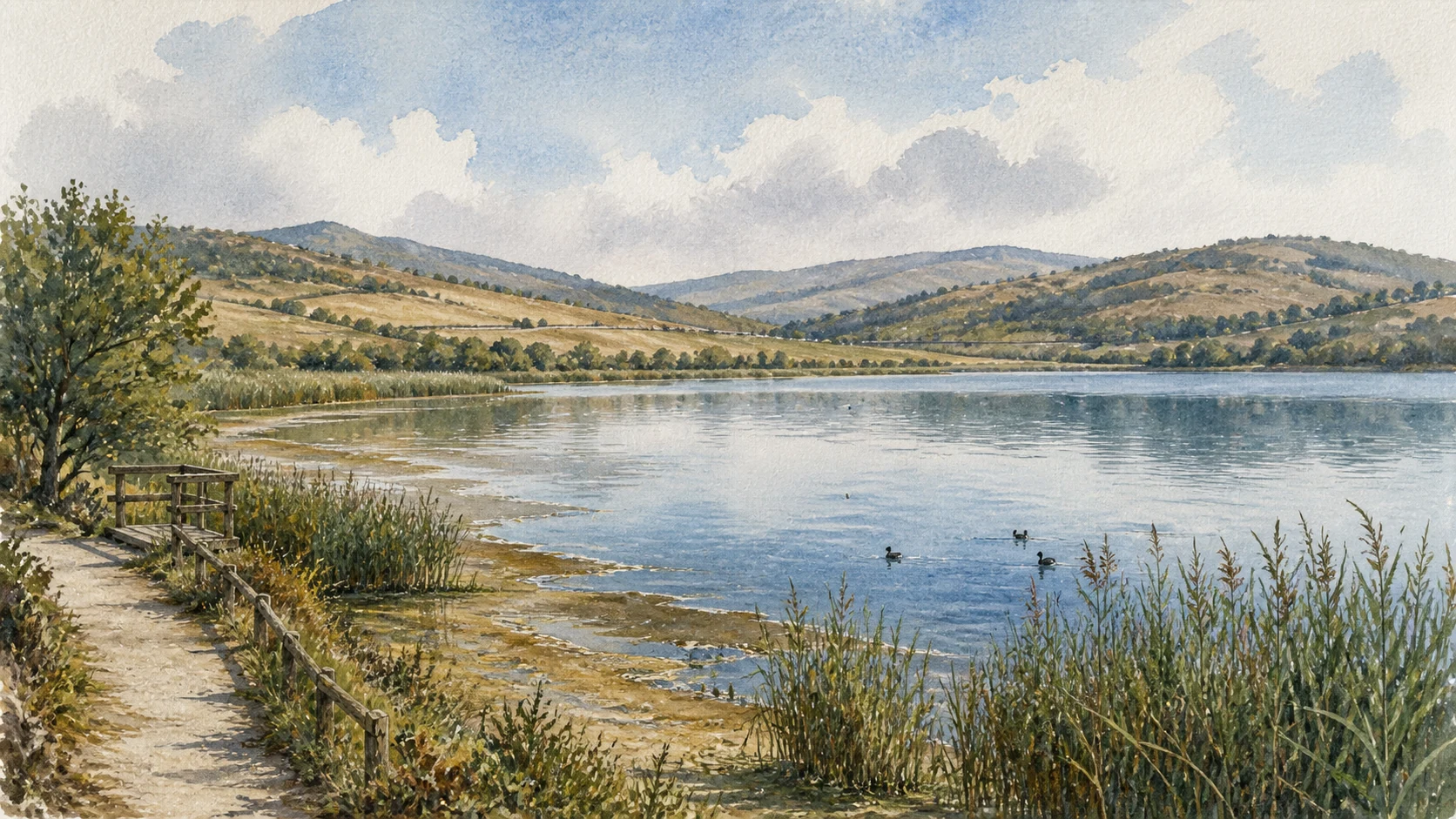
Lake Pergusa as a Closed Natural Basin
Pergusa is a protected living system whose ecological variability matters more than the expectation of a permanently full blue lake.

The place today
The lake occupies a tectonic depression at roughly 667 metres, surrounded by low hills, reed beds and human infrastructure. It has no surface river feeding it and depends strongly on rainfall, runoff and groundwater relationships. Water level and appearance can therefore change dramatically. The reserve supports aquatic and migratory birds, wetland plants and a distinctive inland habitat; seasonal conditions determine what can be observed.
The historical chapter
Pergusa entered modern conservation history as an important biotope and migration stop. Sicily established the Special Nature Reserve in 1995, covering the lake and buffer areas, and the site later formed part of European Natura 2000 protection. Ancient and later authors associated this landscape with Kore's abduction, but the ecological basin must not be treated as proof that one mythic event occurred at a precise shore.
What to notice
- Do not promise flamingos, a fixed water level or a blue surface; bird presence and lake conditions are seasonal and environmentally sensitive.
- Use designated observation points and protect reed edges. A shallow closed basin is especially vulnerable to disturbance and pollution.
REED-BED PATH, HISTORIC ESTATE AND ASPHALT RING SHOW THE DIFFICULT COEXISTENCE OF NATURE, MEMORY AND SPORT
Riva dei Giunchi, Villa Zagaria and the Motor Circuit
The complete Pergusa landscape includes conservation work, rural history and twentieth-century infrastructure rather than one timeless natural view.

The place today
Riva dei Giunchi provides a close view of reed and rush communities along the water. Villa Zagaria, on a panoramic hill, anchors an estate landscape with cypress avenue and an important collection of olive varieties. The motor-racing circuit, opened in 1951, forms a paved ring around the basin, with stands and service structures visibly adjacent to protected habitat. Events can change circulation, noise and access.
The historical chapter
Wetland plants once supplied material for screens and agricultural equipment. Villa Zagaria developed as a hunting or rural residence and was later acquired for reserve-related use. The circuit belongs to post-war sporting culture and has hosted national and international racing. Modern law attempts to regulate the coexistence of motorsport and reserve protection, but the physical tension remains part of the site rather than a problem to hide from visitors.
What to notice
- Check both reserve and circuit calendars; access, noise and route continuity can change independently.
- Read the asphalt ring critically but accurately: it is historic modern infrastructure inside a protected basin, not an invisible or purely external neighbour.
The city through time
Ten passages through height, power, cult and landscape
The chronology connects ancient Henna, medieval fortification, early-modern civic religion and modern protection without treating one phase as the whole identity of Enna.
Communities occupy the naturally defended summit and wider territory before Henna emerges in written and archaeological evidence as a major inland centre.
The acropolis becomes famous for the cult of Demeter and Kore, linking grain, fertility, political identity and pilgrimage across the Mediterranean.
Roman warfare, control of the city and the First Servile War transform Henna; Cicero later records the sanctuary's fame while prosecuting Verres.
Muslim Enna, known through forms such as Qasr Yanna, remains an exceptionally strong inland fortress before Norman conquest.
Norman and Swabian government reorganise fortification and royal control; the Torre di Federico is traditionally associated with the imperial court.
Aragonese rulers use and enlarge the Castello di Lombardia; the Duomo is founded, the castle hosts royal residence and parliament meets there in 1458.
Fire and repeated rebuilding transform the Duomo, while churches, monasteries, palaces, woodwork, painting and civic squares reshape the ridge.
Garibaldi speaks at Palazzo Varisano in 1863. The city remains officially Castrogiovanni until the ancient name Enna is restored in 1927.
The Proserpina fountain and remodelled Belvedere express modern civic mythology; the Pergusa motor circuit opens in the post-war period.
Pergusa receives special nature-reserve protection, museums reinterpret territory and myth, and continuing conservation changes access to monuments and collections.
Before your visit
Practical information,
without turning it into promises
Give the high city a full day and Pergusa another half-day
Castle, Rocca, Duomo, streets, museums, Torre di Federico and western quarters extend along the ridge. Pergusa requires a separate transfer and time for observation rather than a quick roadside stop.
Plan for height, stairs and changing weather
Enna Alta includes steep streets, long church stairs, tower climbs and exposed viewpoints. Wind, fog, summer sun and winter cold can all change the experience quickly.
Verify every museum and church separately
The Museum of the Myth currently reports renovation closure; Museo Alessi data are inconsistent; worship and restoration affect churches. Use current municipal, regional and church contacts.
Check reserve conditions and racing events at Pergusa
Bird seasons, water level, path maintenance and motor events change what can be reached and heard. Confirm both environmental and circuit information before travelling.
Sources
This guide cross-checks the Municipality of Enna and its official tourism portal with the Sicilian Region's museum and reserve records and the Italian Ministry of Culture. It distinguishes ancient cult from mythic episode, sacred topography from an unproved temple reconstruction, medieval phases from later restoration, civic tradition from documented attribution, and protected ecology from a permanent scenic promise. Conflicting or stale opening data are identified rather than silently repeated.
- Municipality of Enna · Castello di Lombardia ↗
- Municipality of Enna · Rocca di Cerere ↗
- Municipality of Enna · Duomo and Visitazione ↗
- Sicilian Regional Park · Museo Interdisciplinare di Enna ↗
- Italian Ministry of Culture · Palazzo Varisano ↗
- Italian Ministry of Culture · Museo G. Alessi ↗
- Municipality of Enna · Torre di Federico ↗
- Municipality of Enna · Pergusa and reserve landscape ↗
The hero image is an illustration, not a photograph. Official municipal reference photographs remain archived locally for visual verification. Monument routes, museum openings, church access, restoration works, lake level, wildlife presence, reserve paths and motor events can change; consult the linked institutional pages shortly before visiting.