Illustrated guide · Sicily
Three protected landscapes,
one mountainous Sicily
Twenty-four grouped chapters from the roadless coves of the Zingaro to Madonie karst, ancient mountain towns, Nebrodi forests, lakes and pastoral routes.
Explore the placesThe island rises behind the sea
Sicily's protected landscapes are not pauses between cities.
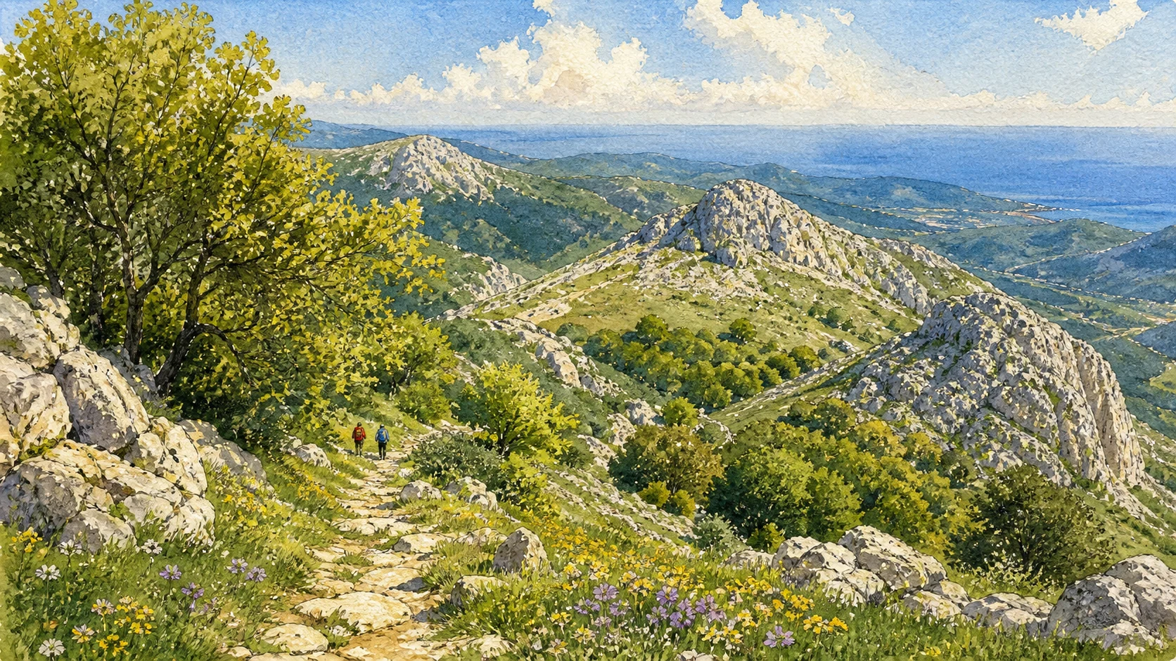
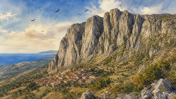
The Zingaro begins with a road that was stopped by public action. The Madonie rise into limestone peaks, dolines, beech woods and towns that command the northern valleys. The Nebrodi continue eastward through wetter forests, high lakes and pastoral ground beneath the distant form of Etna.
Their histories are carried by paths: prehistoric access to the Grotta dell'Uzzo, transhumance routes, pilgrimage trails, mule tracks between mountain towns and modern reserve networks. Fire, drought, fog and winter conditions can alter those paths quickly.
This guide groups each protected landscape into eight chapters so that nature, settlement and memory remain inseparable.
One destination
From roadless coast
to high forest.
The Zingaro is a narrow coastal and mountain reserve between Scopello and San Vito Lo Capo. The Madonie form the highest part of the northern Sicilian Apennine system after the Nebrodi-Etna transition and are recognised as a UNESCO Global Geopark. The Nebrodi contain the island's broadest forest landscapes and a chain of wet highland habitats.
They are connected conceptually, not by one short scenic drive. A complete journey requires separate bases, current trail information and respect for protected zones. The reward is a Sicily in which geology, water, forest, rural work and ancient town networks become as important as the coast.
The selection
Twenty-four chapters,
three mountain systems
The first eight chapters follow the Zingaro from coast to high paths, the next eight cross the Madonie's geosites and towns, and the final eight enter the forests, lakes and communities of the Nebrodi.
- 01The Zingaro and the March That Stopped the Road
- 02The Southern Entrance and Cala Capreria
- 03The Coastal Path and the Sequence of Coves
- 04Grotta dell'Uzzo and the Long Human Presence
- 05Caseggiati, Museums and Rural Knowledge
- 06The High Paths of Monte Speziale and Passo del Lupo
- 07Dwarf Palms, Vermetid Reefs and Cliff Birds
- 08Fire, Recovery and Variable Access
- 09The Madonie UNESCO Global Geopark
- 10Piano Battaglia and Pizzo Carbonara
- 11Battaglietta, Dolines and the Karst Landscape
- 12Piano Pomo and the Giant Hollies
- 13Vallone Madonna degli Angeli and Abies nebrodensis
- 14Castelbuono, the Ventimiglia Castle and Manna Country
- 15Petralia Soprana and Petralia Sottana
- 16Isnello, Springs and the Gole di Tiberio
- 17Monte Soro and the High Nebrodi
- 18Lakes Maulazzo and Biviere
- 19Mangalaviti and Serra del Re
- 20The Rocche del Crasto
- 21Alcara li Fusi and the Griffon Landscape
- 22San Marco d'Alunzio and the Northern Balcony
- 23Floresta, Cesarò and the Pastoral Highlands
- 24Portella Femmina Morta and the Long Crossing
Sicily's first reserve as a landscape of civic action
The Zingaro and the March That Stopped the Road
The absence of a coastal road is the visible result of public mobilisation, law and continued management.

The place today
The reserve protects about seven kilometres of coast and mountains between Castellammare del Golfo and San Vito Lo Capo. Entrances, visitor centres and paths may reopen in phases after fire or works, so the official daily condition matters more than an old map.
The historical chapter
The march of 15 May 1980 brought thousands of people to oppose road construction. Regional law created the reserve in 1981, establishing a model in which biodiversity, rural buildings, archaeology and public access could be protected together.
What to notice
- The interrupted road alignment near the southern entrance
- Interpretive material connecting conservation to civic history
A first descent from former road works to a white pebble cove
The Southern Entrance and Cala Capreria
The southern sector gives the clearest introduction to the reserve's contrast between limestone wall and transparent sea.

The place today
From the Scopello side, the lower path passes visitor facilities and descends toward Cala Capreria. Pale rock, dwarf palm and blue water create a compressed coastal scene, but shade and freshwater remain limited and access can be curtailed after fire or maintenance.
The historical chapter
The entrance preserves traces of the road project that triggered protection. Rural plots and small buildings show that the coast was never empty wilderness; conservation retained a historical working landscape while preventing continuous vehicular development.
What to notice
- Cut rock and unfinished road structures near the entrance
- Pebble movement and wave exposure changing the cove
A walking corridor rather than a chain of independent beaches
The Coastal Path and the Sequence of Coves
Disa, Berretta, Marinella and Tonnarella are understood through the path, elevation and intervening habitat.

The place today
The lower route rises and falls above rocky points and small pebble bays. Distances feel longer in heat, and a cove that is calm in the morning may become exposed later. Seasonal restrictions and the operational state of the north entrance change possible itineraries.
The historical chapter
Footpaths connected farms, fishing places and water sources before reserve designation. Modern visitors inherited that pedestrian scale; widening access or treating every bay as serviced would undo the very spatial character that protection preserved.
What to notice
- Dwarf palm and euphorbia changing with exposure
- Old retaining walls and steps between natural sections
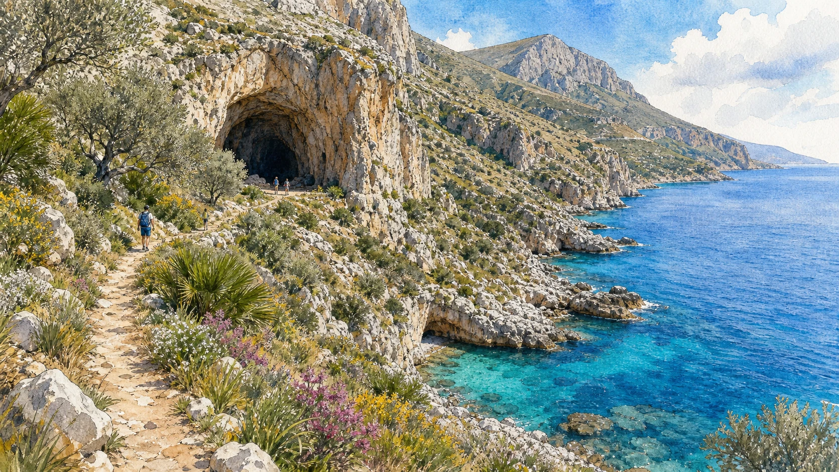
A large cave above the northern coast used across millennia
Grotta dell'Uzzo and the Long Human Presence
Uzzo connects prehistoric occupation, changing subsistence and the rural landscape of the reserve.

The place today
The broad cave mouth opens near the northern sector above cultivated and coastal ground. Access depends on the path network, and archaeological deposits are protected; the site should be viewed as a stratified archive rather than an empty shelter.
The historical chapter
Excavations documented occupation from prehistoric hunter-gatherer phases through later food production and burial practices. Environmental remains helped reconstruct changing coast, fauna and diet, giving the reserve an archaeological depth that precedes its farmhouses and modern conservation story.
What to notice
- The cave's height above the present shoreline
- Protected sediment areas distinct from later rural use

Manna, weaving, fishing and farming inside restored buildings
Caseggiati, Museums and Rural Knowledge
The reserve's small museums make human work part of protected nature.

The place today
Former rural buildings host collections devoted to natural history, manna, weaving, farming and maritime activity. Displays and opening arrangements can vary; the buildings themselves reveal thick walls, yards, ovens and the distribution of work across the reserve.
The historical chapter
Families cultivated, grazed, cut palms, fished and moved along the slopes before depopulation. Museum interpretation preserves techniques without pretending the historic economy was easy or environmentally neutral; it also records the knowledge on which later habitat management depends.
What to notice
- Tools connected to specific plants and seasons
- Water collection and storage around isolated buildings
The reserve rises from sea level toward nine hundred metres
The High Paths of Monte Speziale and Passo del Lupo
Upper routes reveal the Zingaro as a mountain system rather than a coastal promenade.

The place today
Steeper trails cross open limestone, scrub, old fields and woodland pockets toward high saddles. Navigation, water and weather matter more here than on the lower path; after fire or heavy rain, closures can persist long after the coast appears calm.
The historical chapter
High routes served grazing, charcoal work, farm access and connections across the peninsula. Their continued maintenance allows visitors to see abandoned land use, forest regeneration and the full altitudinal range protected by the reserve.
What to notice
- Views shifting between Gulf of Castellammare and Capo San Vito
- Rural enclosures surviving far above present habitation
A protected system from underwater rock to mountain ledge
Dwarf Palms, Vermetid Reefs and Cliff Birds
The reserve's iconic scenery is produced by living communities as well as limestone.

The place today
Dwarf palm dominates many dry slopes, while cliff plants occupy narrow crevices. At sea level, vermetid platforms form biogenic rims vulnerable to trampling; peregrine falcon, Bonelli's eagle, raven and migrating birds use different sectors of the reserve.
The historical chapter
Past grazing and cultivation altered plant cover, while protection allowed research and recovery. Marine warming, invasive species, fire and disturbance now affect habitats that early reserve campaigns often presented as visually timeless.
What to notice
- Living vermetid edges kept free from footsteps
- Birds observed from paths without approaching nests
A protected landscape that changes after every severe season
Fire, Recovery and Variable Access
Closures, rerouted paths and visible burns are part of honest interpretation, not inconveniences to hide.

The place today
Recent fire damage can leave blackened trunks beside fast-regrowing scrub, while safety works affect entrances and trail sections. Visitors should use the current reserve notice for that day and never cross a closure because a cove appears close.
The historical chapter
Wildfire has repeatedly tested the reserve and surrounding communities. Recovery combines natural regeneration, erosion control, removal of hazards and debate about prevention; the founding story of protection continues through this less visible work.
What to notice
- Different regeneration speeds among palm, shrub and woodland
- Checkpoints and barriers indicating active safety management

Deep geological time connected to towns, water and biodiversity
The Madonie UNESCO Global Geopark
The geopark reads rocks as the foundation of ecosystems and human settlement, not as isolated curiosities.

The place today
Geosites range from mountain limestones and fossils to gorges, dolines and springs. Visitor centres and marked routes distribute interpretation across several municipalities, so there is no single gate that represents the whole Madonie.
The historical chapter
Marine sediments, tectonic uplift, karst and erosion created a complex record spanning hundreds of millions of years. UNESCO Global Geopark status recognises how this heritage is used for education, conservation and sustainable local development.
What to notice
- Fossil-rich rock used in historic town architecture
- Springs emerging where different geological units meet
Karst plateau and Sicily's second-highest summit
Piano Battaglia and Pizzo Carbonara
The best-known high Madonie route demands clear weather and mountain judgement.

The place today
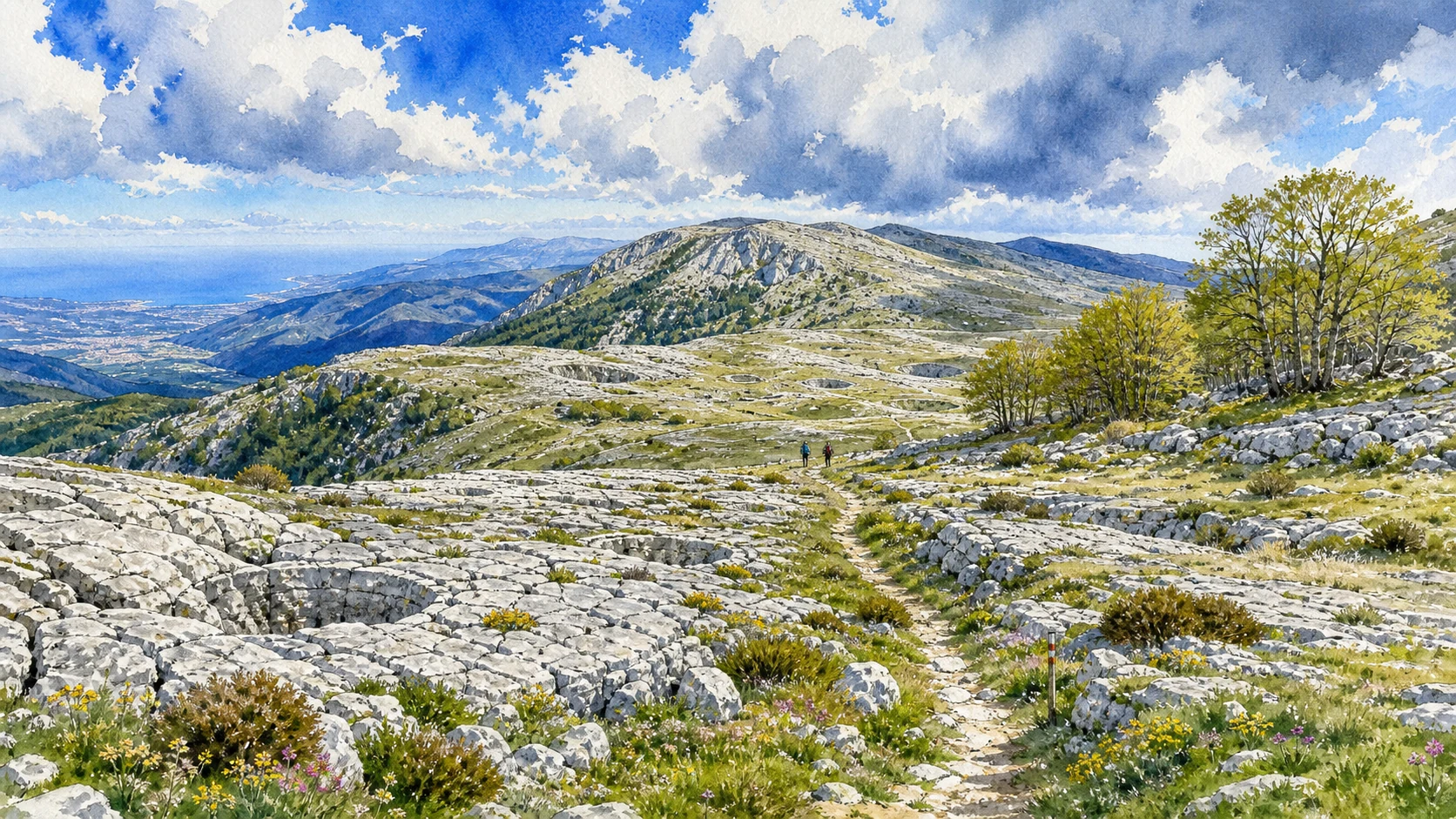
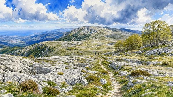
From Piano Battaglia, routes climb through open pasture, beech pockets, limestone pavements and dolines toward Pizzo Carbonara at 1,979 metres. Fog can erase landmarks rapidly, snow changes winter access and summer has limited shade.
The historical chapter
Pastoral use and transhumance long preceded refuges and recreational infrastructure. The plateau's ski history and roads brought new visitors, while geopark interpretation now emphasises karst, endemic plants and seasonal risk beyond the resort image.
What to notice
- Doline rims that become difficult to read in fog
- Beech and pasture responding to altitude and exposure
Closed depressions, sinkholes and water moving underground
Battaglietta, Dolines and the Karst Landscape
The plateau explains why a green mountain can contain little visible surface water.

The place today
Near Piano Battaglia, broad depressions and limestone outcrops reveal drainage into underground systems. Marked geological paths help distinguish ordinary hollows from deep or unstable features that should not be approached casually.
The historical chapter
Dissolution widened fractures and developed the karst over long periods, while cold climatic phases and slope processes further shaped the high ground. Shepherds adapted movement and grazing to this uneven terrain long before scientific mapping.
What to notice
- Soil and grass collecting inside closed depressions
- Bare limestone surfaces cut by solution grooves
An extraordinary grove inside the Castelbuono mountain forest
Piano Pomo and the Giant Hollies
Ancient-looking hollies form a dense living architecture reached only by a real hike.

The place today
Routes from Piano Sempria or longer approaches enter oak and beech before reaching the monumental holly grove. The trees rise unusually high and close together, creating deep shade; roots and wet ground require visitors to stay on the path.
The historical chapter
The grove survived through a combination of microclimate, land use and protection. Its appeal as a natural monument should not obscure the surrounding managed woodland and the vulnerability of compacted soil around old trees.
What to notice
- Multiple trunks forming a continuous shaded canopy
- Transition from open path to humid grove floor
A critically rare fir surviving in its last natural refuge
Vallone Madonna degli Angeli and Abies nebrodensis
The Madonie fir represents conservation through monitoring and distance rather than casual access.

The place today
A very small wild population survives in the high Madonie, supported by fenced areas, propagation and research. Walkers may encounter interpretation or distant specimens, but protection zones and guided conditions must be respected.
The historical chapter
Once more widespread, the fir declined through climatic change, grazing, cutting and habitat pressure until only a remnant population remained. Conservation programmes now combine genetic work, nursery propagation and reinforcement while guarding against hybridisation and disturbance.
What to notice
- Distinctive flattened crown forms on mature specimens
- Protective fencing as evidence of active recovery
A mountain town linking court culture, forest edge and ash-tree work
Castelbuono, the Ventimiglia Castle and Manna Country
Castelbuono brings urban history and living agricultural knowledge into the park journey.

The place today
The Ventimiglia castle, civic streets and Matrice churches occupy a compact town below the high woods. Toward Pollina and nearby slopes, manna is obtained through skilled incision of ash trees during suitable summer conditions.
The historical chapter
The Ventimiglia family shaped medieval and early-modern Castelbuono, while monastic, civic and craft institutions developed around the court. Manna production became a specialised rural economy whose survival now depends on knowledge transmission and viable cultivation.
What to notice
- Castle additions revealing successive residential phases
- Carefully cut ash bark and collecting lines in active plots
Two stone towns controlling routes into the high Madonie
Petralia Soprana and Petralia Sottana
The Petralie are distinct communities whose churches, streets and views belong to the mountain system.

The place today
Petralia Soprana occupies the higher ridge with broad inland views; Petralia Sottana sits closer to routes toward Piano Battaglia and houses park services and the historic Rifugio Marini connection. Both require walking on steep, uneven streets.
The historical chapter
Ancient and medieval routes, feudal power, religious foundations and craft economies shaped the two towns differently. Pilgrimage and transhumance paths linked them to high sanctuaries, pastures and neighbouring valleys rather than isolating them as scenic villages.
What to notice
- Local stone containing fossils and varied geological texture
- View corridors showing route relationships between ridge towns
Water reappearing in towns, rivers and limestone gorges
Isnello, Springs and the Gole di Tiberio
The western and northern Madonie reveal how karst water returns to inhabited valleys.

The place today
Isnello sits beneath dramatic limestone walls and promotes urban geological routes. Farther east, the Pollina River cuts the Gole di Tiberio, where access may depend on water level, authorised local services and seasonal safety conditions.
The historical chapter
Springs allowed towns and mills to develop below permeable uplands, while river incision exposed older rock structures. Modern geotourism links these processes to settlement without treating canyon passage as guaranteed recreation.
What to notice
- Spring lines influencing the position of streets and gardens
- Flood marks and polished rock inside the river gorge

The roof of the park within broad beech forest
Monte Soro and the High Nebrodi
At 1,847 metres, Monte Soro offers a wetter, more wooded mountain character than the Madonie karst.

The place today
Roads and trails approach the summit through beech woods and open highland clearings. Cloud, snow, fallen branches and forestry operations can change conditions; the summit view may extend from the Tyrrhenian islands to Etna when air is clear.
The historical chapter
Siliceous geology and higher rainfall supported extensive forest and pasture. Royal, feudal and later state management influenced cutting and grazing, while park designation placed the high woods within a larger ecological corridor.
What to notice
- Beech trunks shaped by wind and snow near the upper edge
- Etna appearing far beyond layered interior ridges
High water, beech reflections and migrating birds
Lakes Maulazzo and Biviere
The two lakes are distinct habitats within the eastern highlands and should not be treated as one roadside stop.

The place today
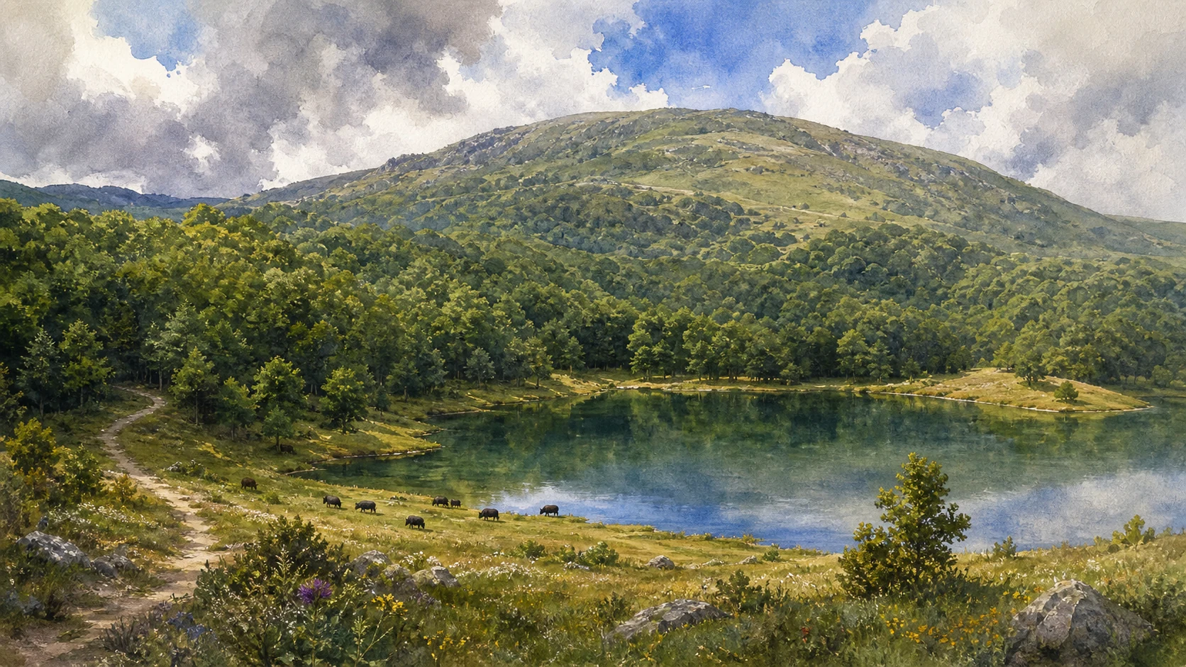
Lake Maulazzo lies below Monte Soro within forest, while the larger Biviere occupies open high ground toward Cesarò. Paths can become muddy or snow-covered; bird presence and water level vary strongly with season.
The historical chapter
Maulazzo is an artificial basin created in the twentieth century, whereas Biviere occupies a natural wetland setting modified by human management. Both now support landscape, ecological and educational values within the park.
What to notice
- Different shore vegetation around forested and open basins
- Livestock, birds and walkers sharing narrow waterside space
A long forest crossing through water and giant trees
Mangalaviti and Serra del Re
The north-central Nebrodi preserve one of Sicily's most immersive woodland routes.

The place today
Tracks enter dense beech, oak and holly forest, crossing streams and humid clearings toward Serra del Re. Mobile coverage can be weak and junctions numerous, making an official route and weather check essential.
The historical chapter
Forest supplied timber, fuel, grazing and seasonal work while also regulating water across the northern slopes. Modern protection balances habitat recovery with fire prevention, forestry history and access for surrounding communities.
What to notice
- Moss, springs and fallen wood indicating humid microclimates
- Large trees surviving beside more regular managed stands
Dolomitic walls above Alcara, Longi and San Marco d'Alunzio
The Rocche del Crasto
The bright crags interrupt the softer forested Nebrodi with cliffs, caves and raptor habitat.

The place today
Marked routes climb from different sides through springs, scrub and wooded sectors toward high viewpoints. Heat, loose stone and nesting wildlife require restraint; distances differ greatly between the three recommended park itineraries.
The historical chapter
Mesozoic carbonate rocks were deformed and exposed within a mountain chain otherwise dominated by siliceous formations. Communities used surrounding slopes for pasture, hermitages and connections between towns, while the cliffs became refuges for raptors.
What to notice
- White, pink and grey rock contrasting with darker forest geology
- Raptor flight observed without approaching cliff nests

A town beneath the Rocche connected to raptor recovery
Alcara li Fusi and the Griffon Landscape
Alcara joins stone streets, religious memory, pastoral routes and the modern return of a large scavenger.

The place today
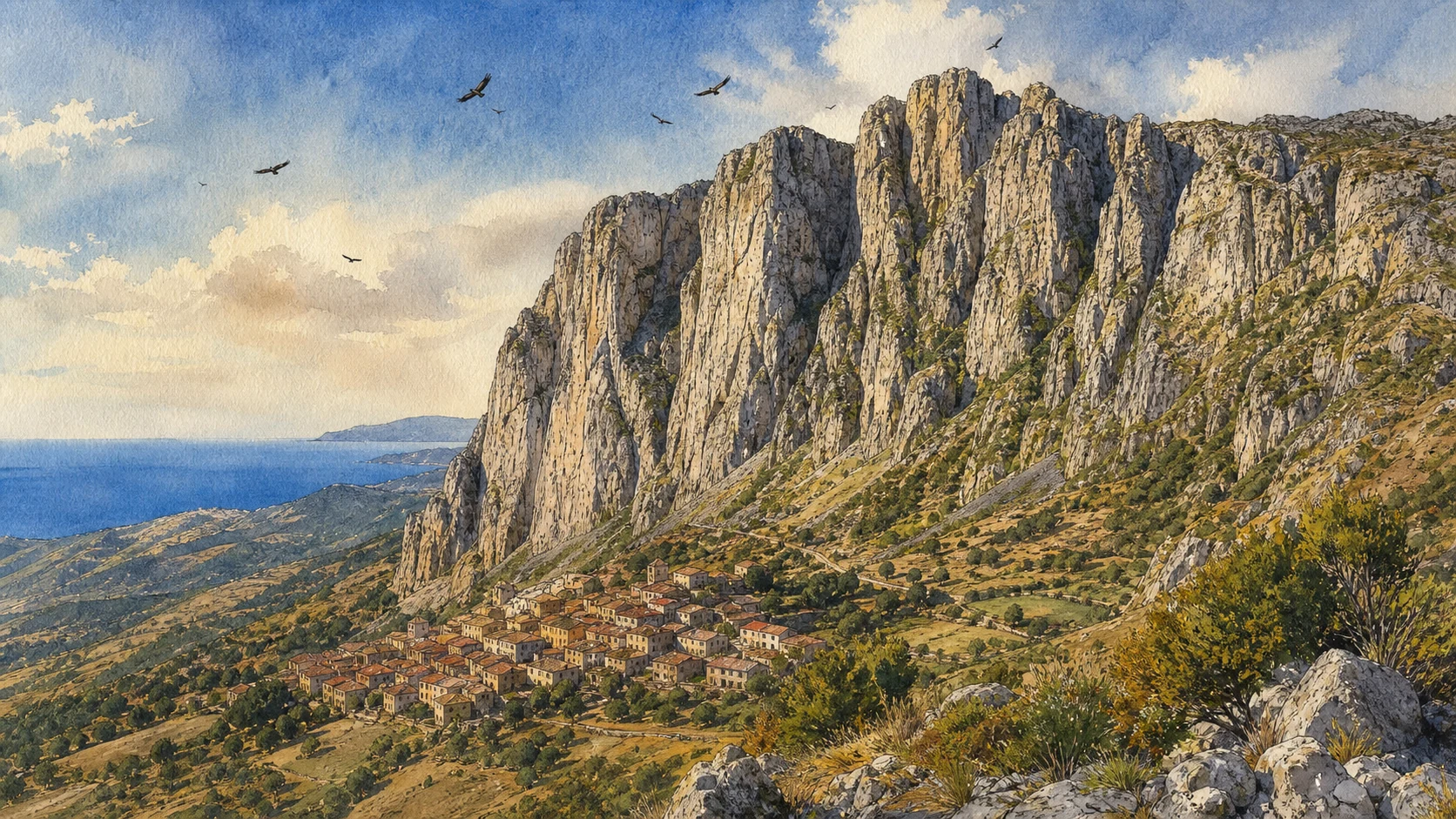
The town rises below the crags with views toward nesting and release areas. Griffons may be seen circling high above, but sightings are not guaranteed and feeding or breeding sites require distance and management permission.
The historical chapter
Pastoral economies once supported scavenger populations, while persecution and environmental change contributed to disappearance. Reintroduction and monitoring returned griffons to the Nebrodi, linking wildlife recovery to livestock practices and public education.
What to notice
- Broad soaring circles using warm air near the crags
- Town routes continuing toward hermitages and grazing ground
Ancient Alontion, medieval churches and a view across the Tyrrhenian coast
San Marco d'Alunzio and the Northern Balcony
San Marco makes the cultural depth of the Nebrodi visible within one ridge town.

The place today
Steep streets connect church façades, the remains of a Norman castle, museums and viewpoints over the coast and Aeolian Islands. Archaeological fragments and reused stone are distributed through the town rather than confined to one site.
The historical chapter
The settlement developed from ancient Alontion through Roman, Byzantine, Islamic and Norman-medieval phases. Its strategic ridge position controlled routes between coast and interior, and later religious institutions created the unusually dense townscape of churches.
What to notice
- Ancient stone reused in later walls and collections
- View corridors linking mountain route to Tyrrhenian sea lanes
Cheese, transhumance and small towns at the edge of forest and pasture
Floresta, Cesarò and the Pastoral Highlands
The eastern Nebrodi remain a working highland landscape, not only a protected woodland.

The place today
Floresta occupies one of Sicily's highest town settings, while Cesarò controls routes toward Monte Soro, Biviere and the interior. Farms, cattle, horses and cheese production continue across roads used by visitors and working vehicles.
The historical chapter
Seasonal grazing linked high pasture to lower settlements through trazzere and customary rights. Modern dairies and transport changed production, but breeds, festivals and food knowledge still depend on maintained pasture and forest-edge economies.
What to notice
- Stone drinking troughs and broad grassy trazzere
- Working livestock movements requiring slow road behaviour
A high pass joining Monte Soro, Maulazzo and Biviere
Portella Femmina Morta and the Long Crossing
The classic east-central itinerary concludes the guide through forest, open ridge and lake country.

The place today
The route from Portella Femmina Morta can connect Monte Soro, Lake Maulazzo and Lake Biviere in a demanding full mountain day. Distance, snow, fog, mud and limited services require an early start, navigation and a realistic turnaround point.
The historical chapter
The pass belonged to older movement between forests, pastures and eastern towns before recreational waymarking. Today's itinerary overlays conservation, forestry roads and water infrastructure, making it a summary of the Nebrodi rather than untouched wilderness.
What to notice
- Vegetation changing from closed beech to exposed ridge
- Route junctions where old tracks and forestry roads overlap
The city through time
Ten dates for orientation
A chronology connecting prehistoric occupation, medieval mountain towns, pastoral routes, conservation movements and present protected-area management.
Communities use the Grotta dell'Uzzo and the Zingaro coast across major changes in climate, shoreline and subsistence.
Mountain routes connect northern Sicilian settlements, including ancient Alontion, to coast, pasture and inland exchange.
Norman and later feudal powers reshape castles, churches and towns including Castelbuono and San Marco d'Alunzio.
Transhumance, forestry, manna, grain and mountain crafts organise seasonal life across the three landscapes.
New roads and state forestry alter access, resource management and the relationship between mountain towns and Palermo or Messina.
A mass march opposes construction of the Zingaro coastal road and becomes a turning point for Sicilian environmental action.
Regional law establishes the Zingaro as Sicily's first nature reserve and creates a wider framework for protected areas.
The Madonie Regional Natural Park is established to protect geology, biodiversity and the network of mountain communities.
The Nebrodi Regional Natural Park is established across the island's largest forested mountain area.
Madonie enters the UNESCO Global Geopark framework, linking geological heritage to education and sustainable development.
Before your visit
Practical information,
without turning it into promises
Use three separate bases
Zingaro, Madonie and Nebrodi are not one day trip. Plan each as its own area and treat transfers along the north of Sicily as travel days or partial days.
Check the current trail, not the famous route
Fire, forestry work, snow, fog, landslide and entrance construction can change access. Use the reserve or park's current notice on the day of the walk.
Carry mountain equipment
Even in Sicily, high routes need layers, water, sun protection, navigation and footwear. Winter ice and summer heat can affect different sectors on the same day.
Keep wildlife at distance
Raptors, shearwaters and forest fauna are never guaranteed sightings. Do not approach nests, use playback, feed animals or leave marked paths for a photograph.
Sources
The guide combines the Sicilian Region's protected-area records for the Zingaro, official Ente Parco delle Madonie routes, UNESCO's Global Geopark register and official Nebrodi Park itineraries. It separates permanent facts from variable trail access, distinguishes natural from artificial lakes and avoids promising wildlife or treating rural landscapes as uninhabited wilderness.
- Sicilian Region · Zingaro Natural Reserve ↗
- Zingaro Reserve · Official portal ↗
- Madonie Park · Official portal ↗
- Madonie Park · Pizzo Carbonara trail ↗
- UNESCO · Global Geoparks register ↗
- Nebrodi Park · Official portal ↗
- Nebrodi Park · Itinerary network ↗
- Nebrodi Park · Rocche del Crasto ↗
The images are original editorial watercolours, not photographs. Reserve entrances, paths, museums, river gorges, snow conditions, fire restrictions and forestry roads can change; consult the linked management bodies and current weather before every excursion.