Illustrated guide · Aosta Valley
A high valley shaped
by iron, water and ibex
Sixteen chapters through Cogne, its mining landscape, Lillaz, Valnontey, royal hunting paths and the long construction of Gran Paradiso National Park.
Explore the placesThe park is inhabited history
Cogne is often introduced as a doorway to nature, but the doorway has never been empty.
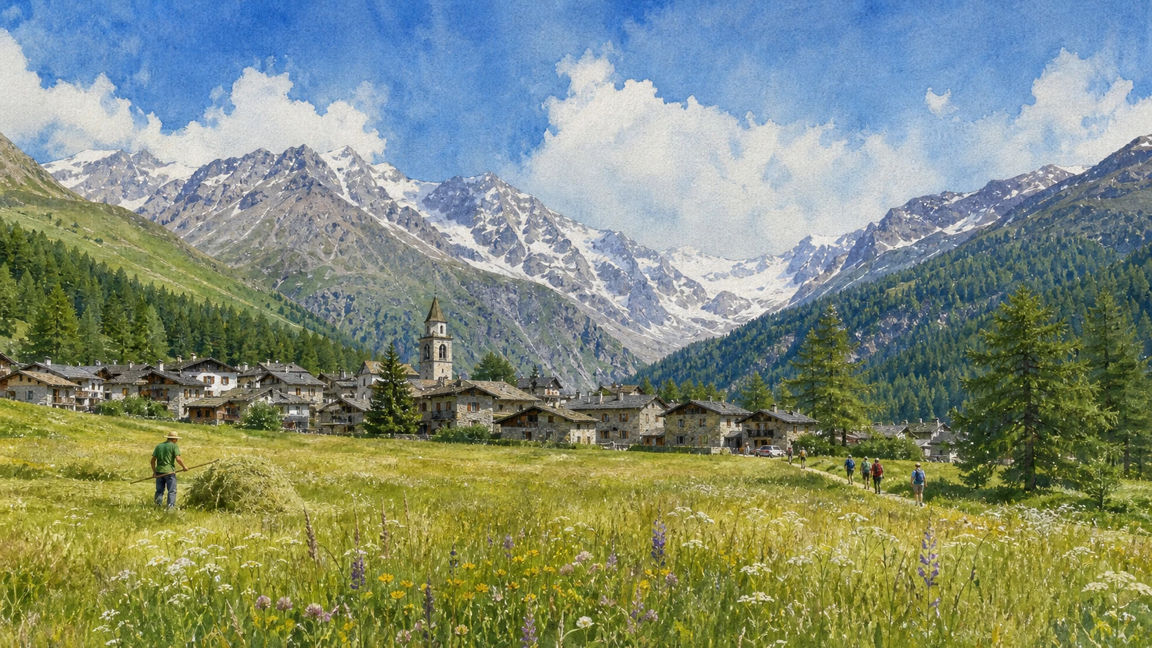
Miners, farmers, lace-makers, royal guards, park rangers, scientists and mountain guides all altered the ways in which this high basin was understood and used. The Sant’Orso meadow and surrounding peaks belong to the same story as the abandoned mining installations above the village.
Gran Paradiso National Park began in 1922, after the royal hunting reserve created around the ibex. Protection therefore carries a difficult inheritance: conservation grew from an exclusive hunting landscape before becoming a public institution.
This guide remains below the level of technical mountaineering. Paths, wildlife distances, snow, water and transport must always be checked through current park and local information.
One destination
A mining community
inside a protected massif.
The Cogne basin opens where several valleys meet beneath Gran Paradiso. Meadows, waterfalls, larch woods, glaciers and high pastures are linked to a compact settlement whose economy once depended heavily on magnetite mining.
A complete visit joins cultural and natural evidence. It moves from village architecture and the miners’ quarter to Lillaz and Valnontey, then reads the royal mule tracks and the park itself as historical structures rather than untouched wilderness.
The selection
Sixteen chapters,
one inhabited park
The route begins in the Cogne basin, follows work and water into the side valleys and ends with the institutions, paths and responsibilities of Gran Paradiso.
- 01The Cogne Basin and Its Side Valleys
- 02Cogne and the Sant’Orso Meadow
- 03The Parish Centre, Iron Fountain and Lace Tradition
- 04Maison Gérard-Dayné and Rural Architecture
- 05Magnetite and the Geology of Cogne
- 06Colonna, Cableways and the Mining System
- 07The Miners’ Village and Industrial Cogne
- 08Lillaz and Its Waterfalls
- 09Valeille, Larch Woods and Glacial Form
- 10Valnontey Village and the High Valley
- 11Paradisia Alpine Botanical Garden
- 12The Royal Hunting Reserve of 1856
- 13Royal Mule Tracks and Hunting Lodges
- 14The National Park Founded in 1922
- 15Ibex, Rangers and Long-Term Science
- 16Gran Paradiso and the High-Mountain Threshold
A high meeting place of water, paths and settlements
The Cogne Basin and Its Side Valleys
Cogne is not a terminal village but the centre of a branching mountain system.
The place today
From the basin, routes divide towards Valnontey, Lillaz and Valeille, Grauson and Urtier. The broad floor around the settlement helps visitors read the drainage and the changing orientation of each valley before choosing a walk.
The historical chapter
Glacial erosion created the large basin and hanging valleys; streams later deposited fans and sediments used for pasture and settlement. Communities organised movement between permanent houses, seasonal hamlets, mines and high grazing areas.
What to notice
- The streams converging around the basin
- Settlements placed above wet or flood-prone ground
- The different valley openings visible from the meadow
An exceptional open space beside the village
Cogne and the Sant’Orso Meadow
The meadow gives Cogne its distinctive scale and preserves the relationship between settlement and mountain pasture.
The place today
The Prati di Sant’Orso extend beside the historic centre, crossed by paths but still read as an agricultural landscape. From their edges the bell tower, houses and Gran Paradiso group appear in one continuous view.
The historical chapter
Haymaking and communal use kept the basin open while tourism expanded around it. Its survival prevents the village from becoming a continuous built resort and retains evidence of the land that sustained local households.
What to notice
- Irrigation lines and changes in meadow level
- The compact edge of the old settlement
- Seasonal farming activity rather than a decorative lawn
Material memory in the heart of Cogne
The Parish Centre, Iron Fountain and Lace Tradition
Church, public space, iron and lace connect everyday life to the valley’s principal forms of work.
The place today
Around the parish church and village streets, local craft shops and the iron fountain offer a compact cultural circuit. Cogne lace is still made by hand on a cushion without a fixed preliminary drawing, using a knowledge transmitted through practice.
The historical chapter
Parish institutions structured community life while iron mining shaped wages, movement and identity. Lace-making developed as specialised domestic work and survived changing markets through teaching, cooperatives and cultural recognition.
What to notice
- The dark iron material used in the village fountain
- Handmade lace structure and repeated motifs
- Older street widths behind the modern commercial centre
A house that explains work before the resort era
Maison Gérard-Dayné and Rural Architecture
The historic dwelling turns construction details into evidence of family economy and adaptation to cold.
The place today
Maison Gérard-Dayné presents domestic rooms, stable, barn and working spaces within a large traditional building. Visiting it before the valleys makes later farm structures easier to interpret.
The historical chapter
Stone lower levels, timber elements and rooms shared between people, animals and stored produce responded to climate and limited resources. The building records modifications made by generations rather than a single ideal Alpine style.
What to notice
- Transitions between stable, dwelling and storage
- Timber joints and ventilation in the upper structure
- Later openings inserted into older masonry
Why an industrial landscape rose above a farming basin
Magnetite and the Geology of Cogne
The mine existed because valuable iron ore occurred within a difficult mountain setting.
The place today
Museum displays and interpreted traces explain the magnetite deposit without requiring entry into unsafe workings. The relationship between ore body, mine levels and processing sites is clearer when read across the slope rather than as isolated ruins.
The historical chapter
Iron extraction in the Cogne area has deep roots, but large-scale modern exploitation accelerated with industrial investment and transport systems. Geology determined where galleries, cableways and treatment plants could be built.
What to notice
- Dark, dense ore samples in museum displays
- Mine levels stepping across the mountain
- Waste material distinct from natural scree
Work organised vertically above the village
Colonna, Cableways and the Mining System
Colonna was not a picturesque hamlet but a high industrial settlement tied to extraction and transport.
The place today
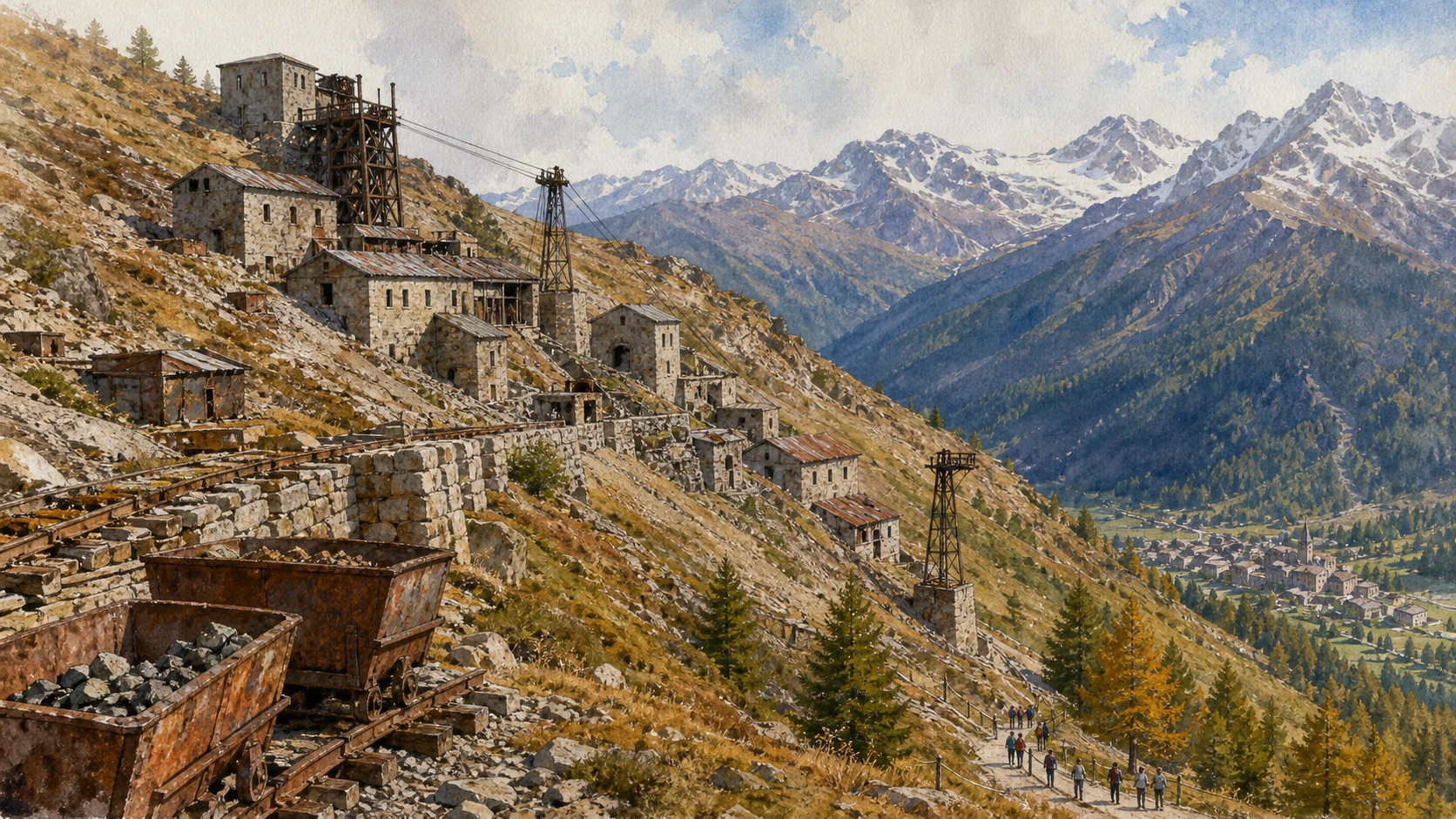
Buildings and infrastructure survive in varying conditions above Cogne. They should be approached only through authorised visits and current guidance, because abandoned industrial sites contain unstable structures and restricted areas.
The historical chapter
During the twentieth century, workers, ore and supplies moved through a linked system of galleries, railways and cableways. The mine employed people from Cogne and beyond until closure in 1979, leaving a powerful social as well as physical landscape.
What to notice
- The separation between extraction and processing levels
- Cable supports aligned down the slope
- Housing and service buildings near places of work

Housing, welfare and labour on the valley floor
The Miners’ Village and Industrial Cogne
The industrial story continued below the galleries in planned buildings and new social relations.
The place today
The former miners’ village and related structures stand close to the modern settlement. Their regular layouts and larger scale differ from the older rural fabric and reveal how industry reorganised daily life.
The historical chapter
Mining companies needed accommodation and services for a growing workforce. Housing, transport, schools and collective facilities brought new populations and rhythms, while the mine connected this remote valley to national industrial production.
What to notice
- Repeated housing units rather than incremental farm buildings
- The practical route between housing and mine transport
- Public spaces created for an industrial workforce
A village beside a changing sequence of water
Lillaz and Its Waterfalls
The waterfalls are a hydrological system, not a single fixed postcard.
The place today
A well-known path reaches several viewpoints on the Lillaz cascades. Water volume, spray, ice and surface grip vary strongly by season; barriers and closures must be respected even on this accessible excursion.
The historical chapter
The Urtier stream descends over resistant rock steps before reaching the settlement. Water shaped mills, farming and routes long before the falls became a visitor attraction and winter ice became part of the valley’s image.
What to notice
- Separate drops rather than one uninterrupted fall
- Rock smoothed and cut by repeated flow
- Safe viewpoints set back from wet edges
A quieter side valley beyond Lillaz
Valeille, Larch Woods and Glacial Form
Valeille reveals how vegetation and water change from inhabited margin to glacial headwall.
The place today
Paths enter through larch woods and continue into a broader high valley. Distance and conditions should be judged against daylight, snow and weather; the upper glacier is a landscape to observe, not an invitation to leave marked routes.
The historical chapter
Ice excavated the valley and deposited moraines that still control drainage and vegetation. Seasonal grazing and paths occupied the accessible floor while the retreating glacier exposed new unstable surfaces higher up.
What to notice
- Larch thinning as altitude increases
- Moraine ridges above the stream
- Fresh surfaces near the present glacier zone
The inhabited threshold of Gran Paradiso
Valnontey Village and the High Valley
Valnontey brings farms, tourism, research and high-mountain routes into one narrow valley.
The place today
The hamlet marks the practical end of ordinary road access. From here paths continue beside the stream towards refuges and glaciers; parking, shuttles and seasonal restrictions require current checks.
The historical chapter
Pasture and seasonal movement shaped the settlement before mountaineering and park administration added new functions. The valley later became a central place for scientific observation and visitor access to the Gran Paradiso group.
What to notice
- Stone houses placed above the active stream
- The transition from meadow to larch woodland
- Trail junctions separating walks from mountaineering routes
A scientific collection within a living valley
Paradisia Alpine Botanical Garden
Paradisia helps visitors learn plant differences before encountering them on the trail.
The place today
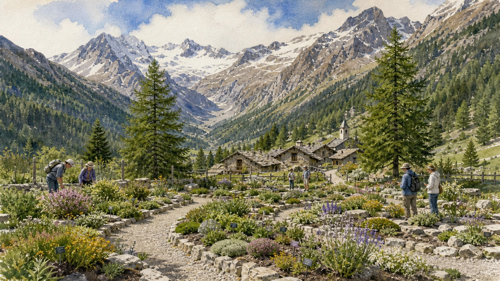
The garden displays Alpine species in organised environments near Valnontey. Opening periods are seasonal, and the visit works best when labels and habitats are read slowly rather than treated as a flower backdrop.
The historical chapter
Established in 1955, Paradisia became part of the park’s educational and research work. Its collections connect taxonomy, ecology and conservation while showing how small changes in soil, water and exposure shape mountain vegetation.
What to notice
- Plants grouped by ecological requirements
- Differences between wet, rocky and calcareous beds
- The garden boundary against the unmanaged valley

The paradox at the origin of protection
The Royal Hunting Reserve of 1856
Ibex conservation first advanced inside a landscape reserved for royal hunting.
The place today
The reserve survives indirectly in paths, guard houses and the distribution of wildlife populations. Interpretation should acknowledge both the recovery of the species and the exclusionary power through which the territory was controlled.
The historical chapter
Victor Emmanuel II declared a Royal Hunting Reserve in 1856. Guards restricted poaching and managed access, helping the remaining Alpine ibex population persist while the king retained the privilege of hunting it.
What to notice
- Guard houses positioned along strategic routes
- Paths designed for mounted royal movement
- The difference between modern conservation and former hunting control
Infrastructure that still directs movement
Royal Mule Tracks and Hunting Lodges
The broad paths often taken for timeless trails were engineered for a specific political use.
The place today
Sections of the royal network now support walking, ranger activity and maintenance. Their gradients can appear gentle, but altitude, exposure and distance remain real; route status must be checked before departure.
The historical chapter
Hundreds of kilometres of mule tracks linked hunting lodges and guard posts across the reserve. Built to carry the king and his entourage efficiently, they later became core infrastructure for the national park.
What to notice
- Consistent width across steep ground
- Dry-stone retaining walls and drainage
- Sightlines towards guard houses and former lodges

A royal reserve becomes a public institution
The National Park Founded in 1922
Gran Paradiso is Italy’s oldest national park, but its creation did not freeze the territory in time.
The place today
The park extends across Valle d’Aosta and Piedmont, coordinating conservation, research, education and visitor management. Municipalities and working communities remain part of the protected landscape.
The historical chapter
Victor Emmanuel III donated the former reserve to the Italian state in 1919; the national park was established in 1922. Wartime pressures and weak enforcement later damaged wildlife populations, making post-war reconstruction essential.
What to notice
- Park signs marking zones and permitted behaviour
- Settlements enclosed within rather than excluded from the park
- Historic guard infrastructure reused by a modern institution
A symbol sustained by daily observation
Ibex, Rangers and Long-Term Science
The ibex is not a guaranteed close sighting but the focus of long conservation work.
The place today
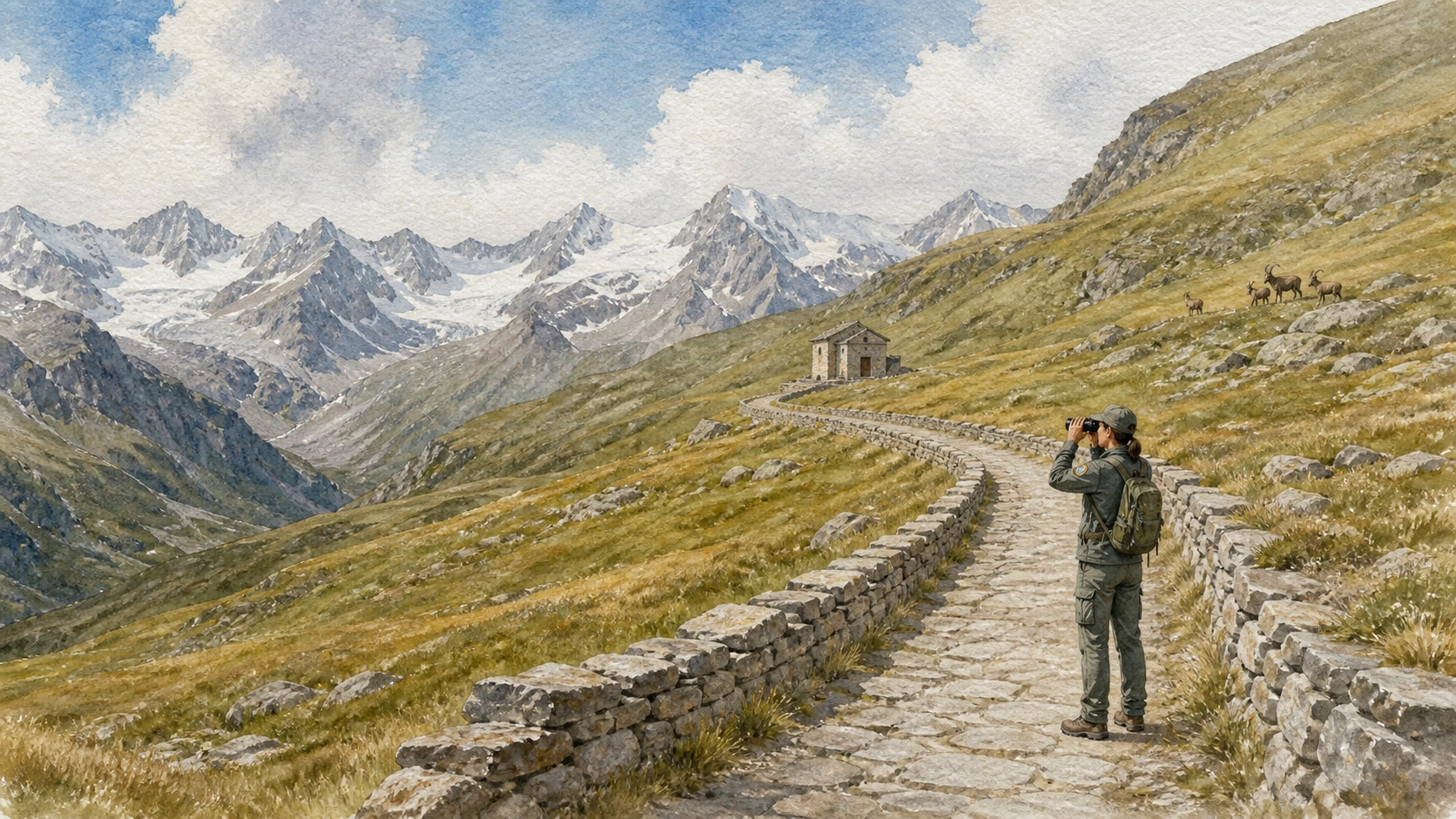
Visitors may observe ibex, chamois, marmots and birds from paths with patience and distance. Feeding, approaching or surrounding animals disrupts behaviour; dogs and access are regulated by zone and season.
The historical chapter
After severe declines during the Second World War, the reorganised park rebuilt surveillance and monitoring. Long-term data on marked animals, reproduction, disease and climate now make Gran Paradiso an important field laboratory.
What to notice
- Animals choosing escape routes rather than posing
- Ranger observation points and field methods
- Seasonal movement between slopes and valley floors
The only four-thousand-metre summit wholly in Italy
Gran Paradiso and the High-Mountain Threshold
The massif closes the visual journey but begins a different category of risk and preparation.
The place today
Valley walks can reveal glaciers and high summits without entering mountaineering terrain. Refuge approaches, glacier travel and the summit require current conditions, appropriate equipment and, for many visitors, qualified professional guidance.
The historical chapter
Gran Paradiso became a landmark of early Alpine exploration and later national identity. Retreating glaciers now alter routes, water and slope stability, making historical maps and familiar descriptions insufficient on their own.
What to notice
- The boundary between marked path and glacial route
- Moraine surfaces exposed by retreating ice
- Weather building behind high ridges
A protected valley through time
From ore and reserve
to a living national park
The chronology joins the long use of the valley to the institutions that changed access, labour and conservation.
Iron extraction, pasture and seasonal routes develop across the Cogne basin.
Mining grows in technical and economic importance while local farming and craft continue.
Victor Emmanuel II establishes the Royal Hunting Reserve around the surviving ibex population.
Royal mule tracks, lodges and guard posts organise movement across the reserve.
Industrial mining expands with mechanised transport and a larger workforce.
Victor Emmanuel III transfers the former royal reserve to the Italian state.
Gran Paradiso National Park is established.
A new autonomous park authority begins post-war restoration of protection and management.
Paradisia Alpine Botanical Garden opens at Valnontey.
Mine closure accelerates economic transition while heritage, research and tourism reshape the valley.
Before your visit
Practical information,
without turning it into promises
Build the visit in layers
Begin with Cogne, the meadow and a cultural site; choose either Lillaz or Valnontey as a second landscape rather than compressing every branch into one day.
Check park rules
Use the park’s current notices for dogs, wildlife zones, seasonal closures, snow and trail conditions. Rules can differ between valleys and periods.
Treat mines as controlled sites
Do not enter galleries or abandoned structures independently. Use officially opened museums, tours and interpreted routes.
Separate walking from alpinism
A valley path and a glacier or summit route require different skills. Weather, ice and rockfall can change rapidly above the maintained network.
Method and sources
Artistic in appearance.
Documentary in content.
Merlintravel combines official park, regional heritage and tourism sources with a place-by-place editorial reading. Dates describe institutions and landscapes; practical conditions must be confirmed again before travel.
- Gran Paradiso National Park · history ↗
- Gran Paradiso National Park · historical account ↗
- Gran Paradiso National Park · royal mule tracks ↗
- Gran Paradiso National Park · visitor regulations ↗
- Gran Paradiso National Park · ancient trades ↗
- Gran Paradiso National Park · visit ↗
- Regione Valle d’Aosta · Cogne mines geosite ↗
- Turismo Valle d’Aosta · Cogne–Aymavilles guide ↗
- Turismo Valle d’Aosta · Gran Paradiso area ↗
- Turismo Valle d’Aosta · Cogne ↗
- Turismo Valle d’Aosta · Lillaz waterfalls ↗
Access, opening periods, transport, wildlife rules, mine tours, path conditions and safety restrictions change. Consult the linked official sources and local services immediately before visiting.