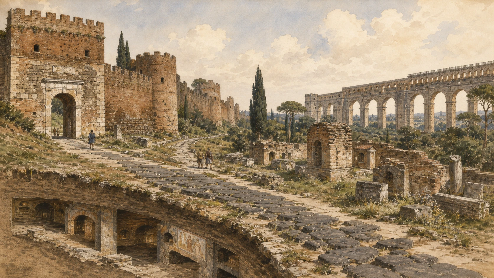
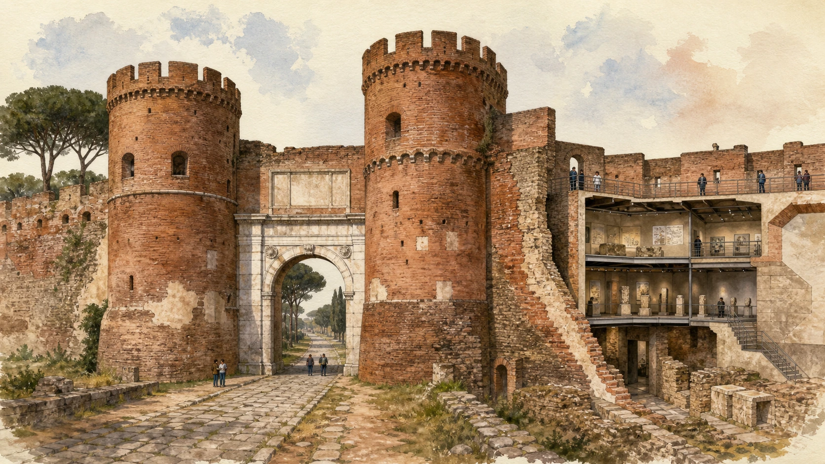
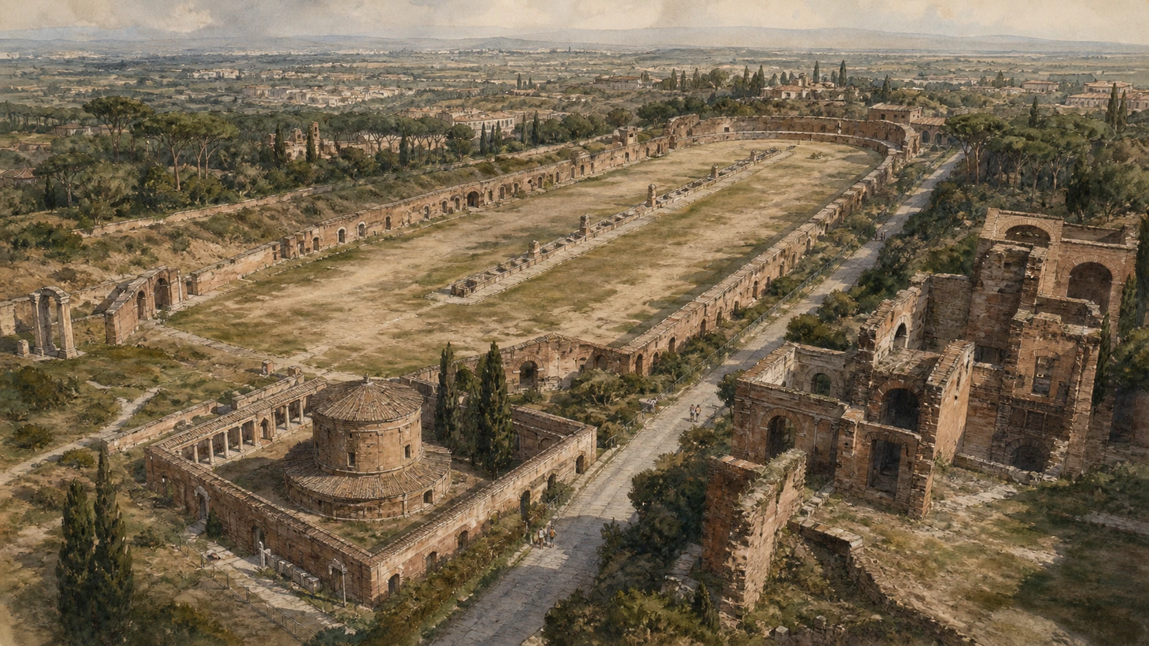
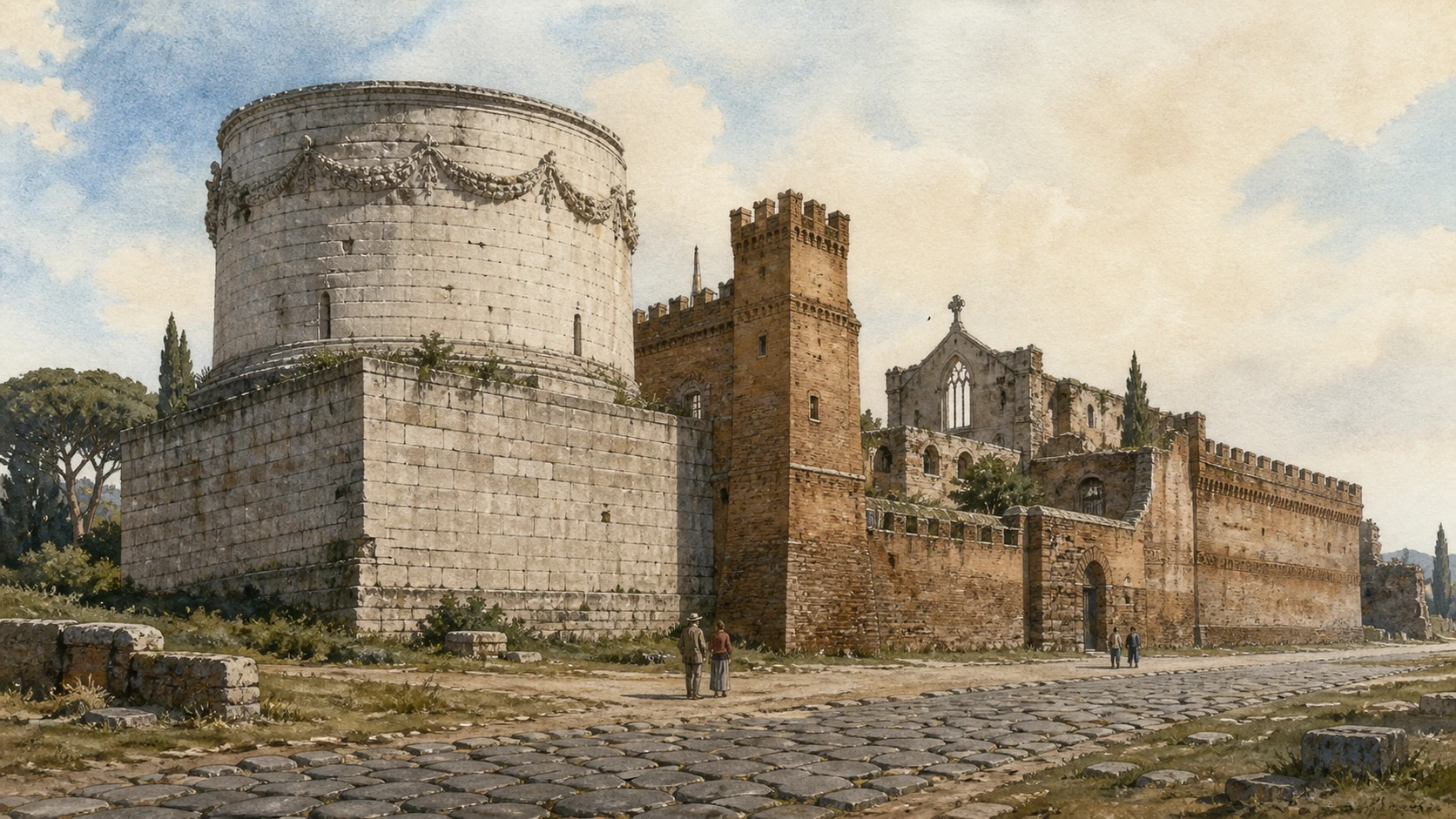
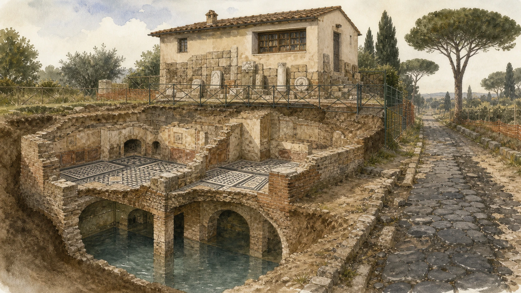
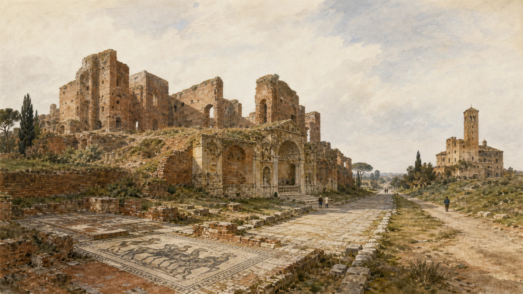
The Via Appia began at Porta Capena in 312 BC, long before the Aurelian Wall and its Porta Appia, now Porta San Sebastiano. Outside the Republican city boundary, elite families placed tombs where names and achievements could face travellers. Later cemeteries, villas, farms, churches, towers and defensive enclosures accumulated beside the route. Ancient basalt paving survives in discontinuous stretches and has been repeatedly repaired; a straight-looking lane lined with ruins is therefore a historical landscape, not an intact frozen Roman street.
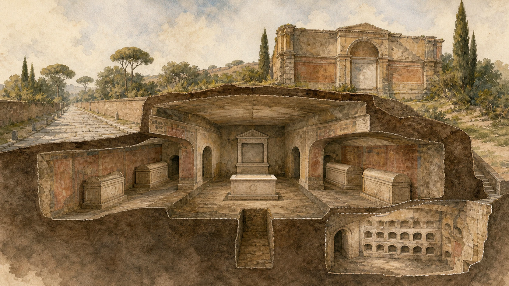
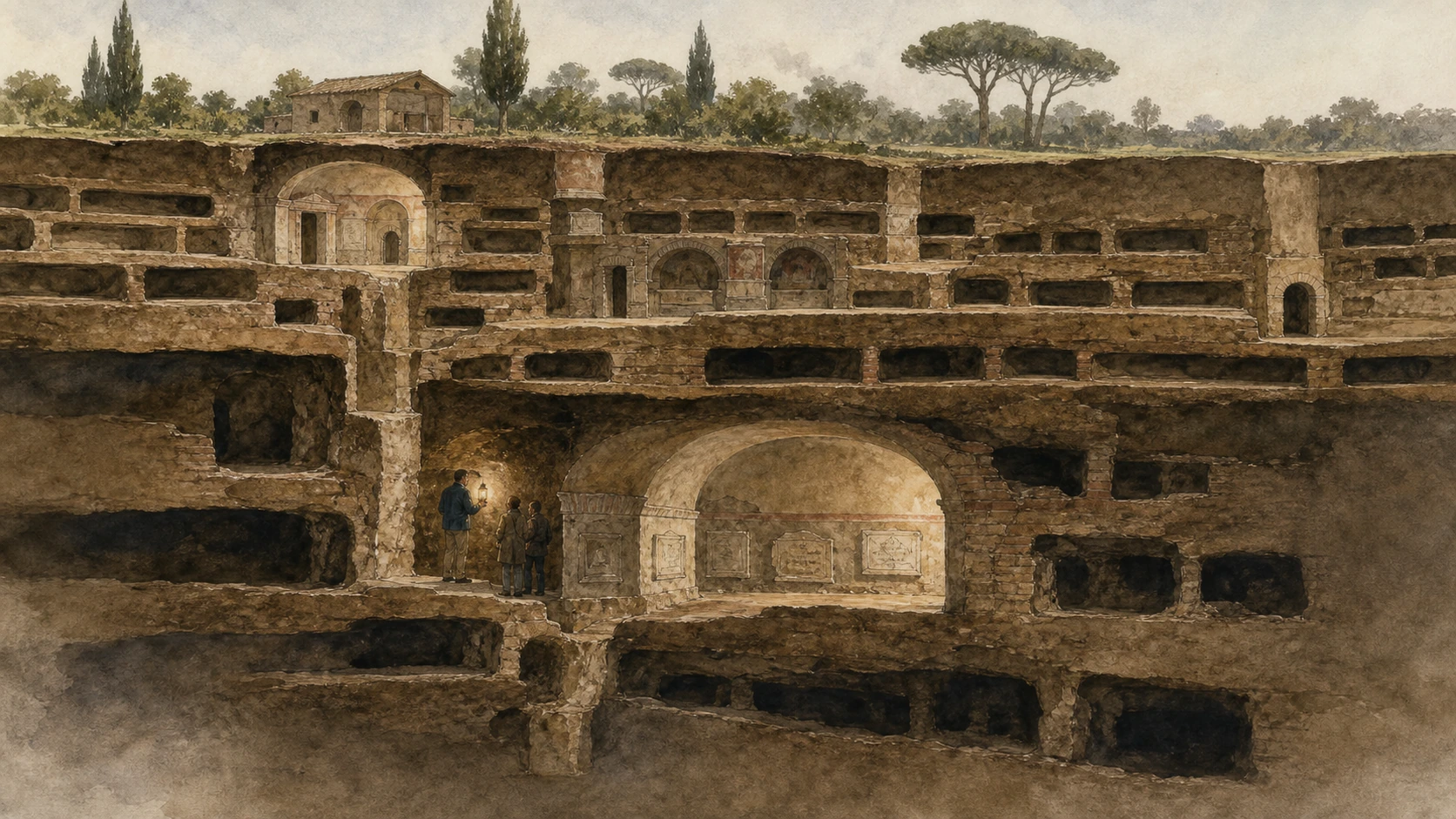
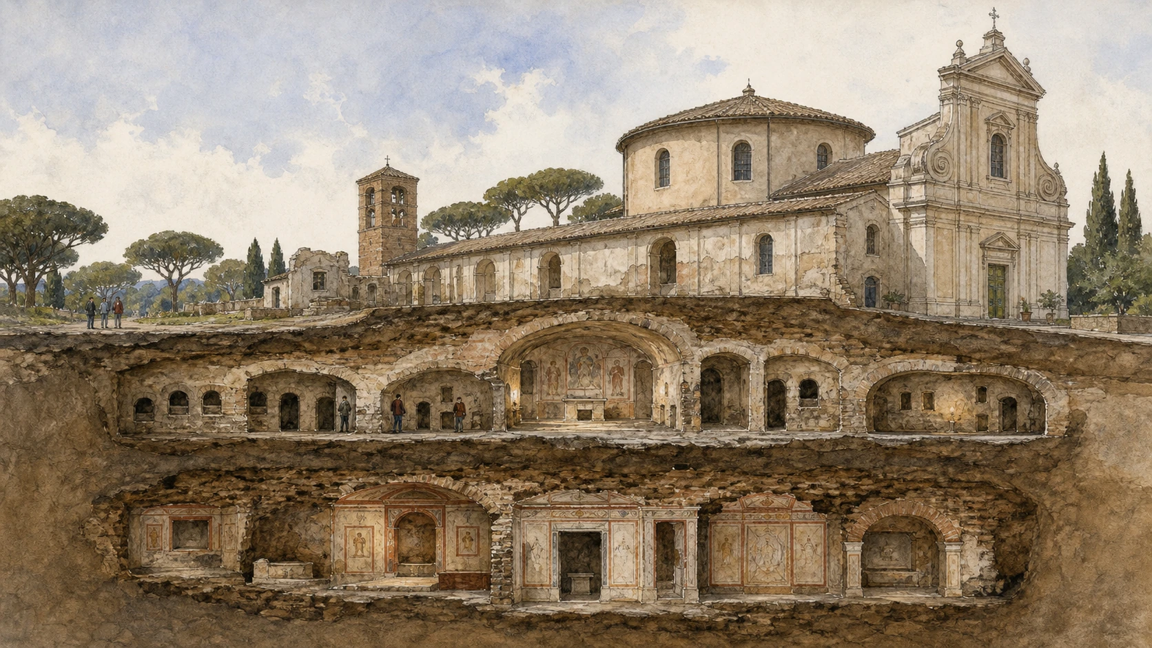
The catacombs of Saint Callixtus and Saint Sebastian were burial places and places of commemoration. They were not secret cities where all Christians hid from persecution. Galleries expanded because burial beyond the walls was normal, land was valuable and workable tuff allowed vertically organised cemeteries. At Callixtus, separate hypogea were joined under church administration; at Saint Sebastian, quarries, pagan mausoleums, Christian galleries, apostolic memory and a Constantinian basilica occupy different levels and dates.
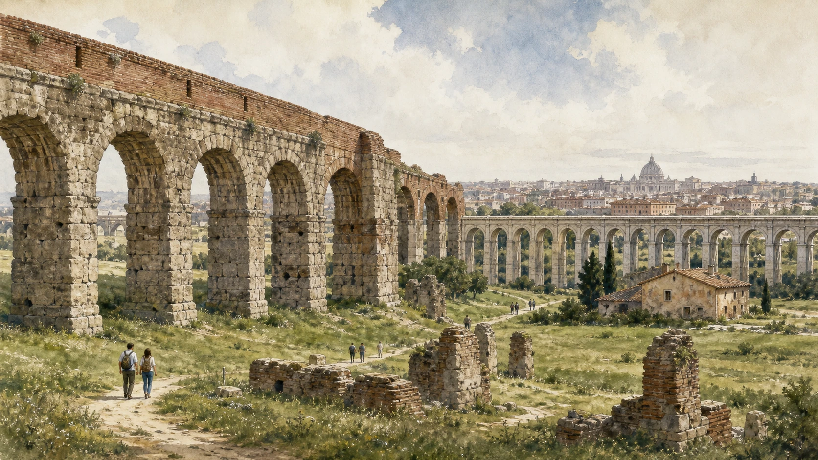
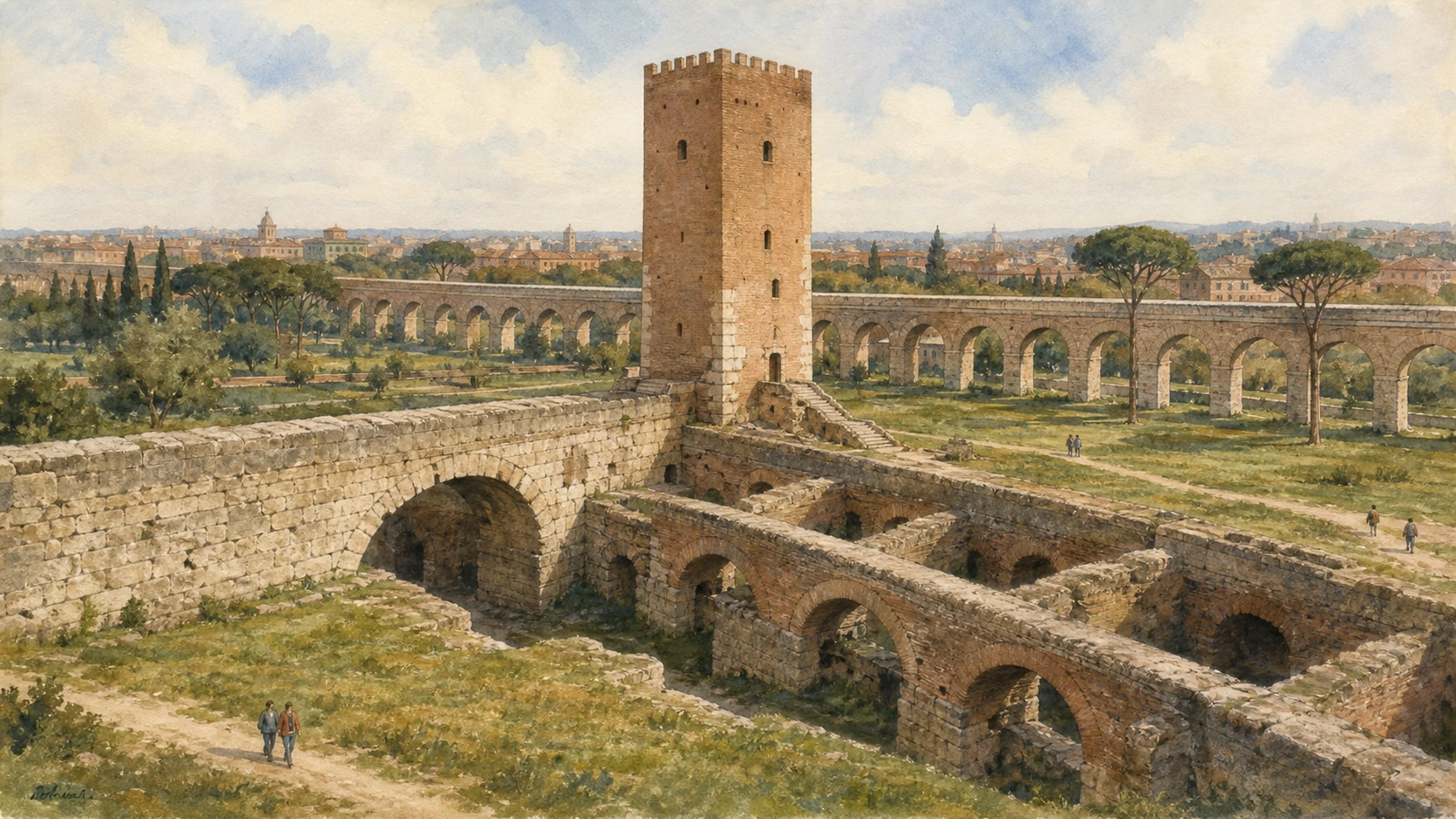
The Park of the Aqueducts and Tor Fiscale form a second landscape east of the Appian road. Aqua Marcia, Aqua Claudia, Anio Novus and later Acqua Felice cross or reuse the same countryside, but they did not all carry water in one channel or belong to one period. Reaching them from the Appian monuments normally requires a deliberate transfer by bus, taxi or bicycle. Treating the two areas as one effortless continuous walk conceals distance, modern roads and the time needed for controlled underground visits.
Build the day around reservations first, then decide whether to continue far along the Appia or transfer to the aqueduct parks. The strongest reading comes from separating each system before connecting them across Rome's southern plain.