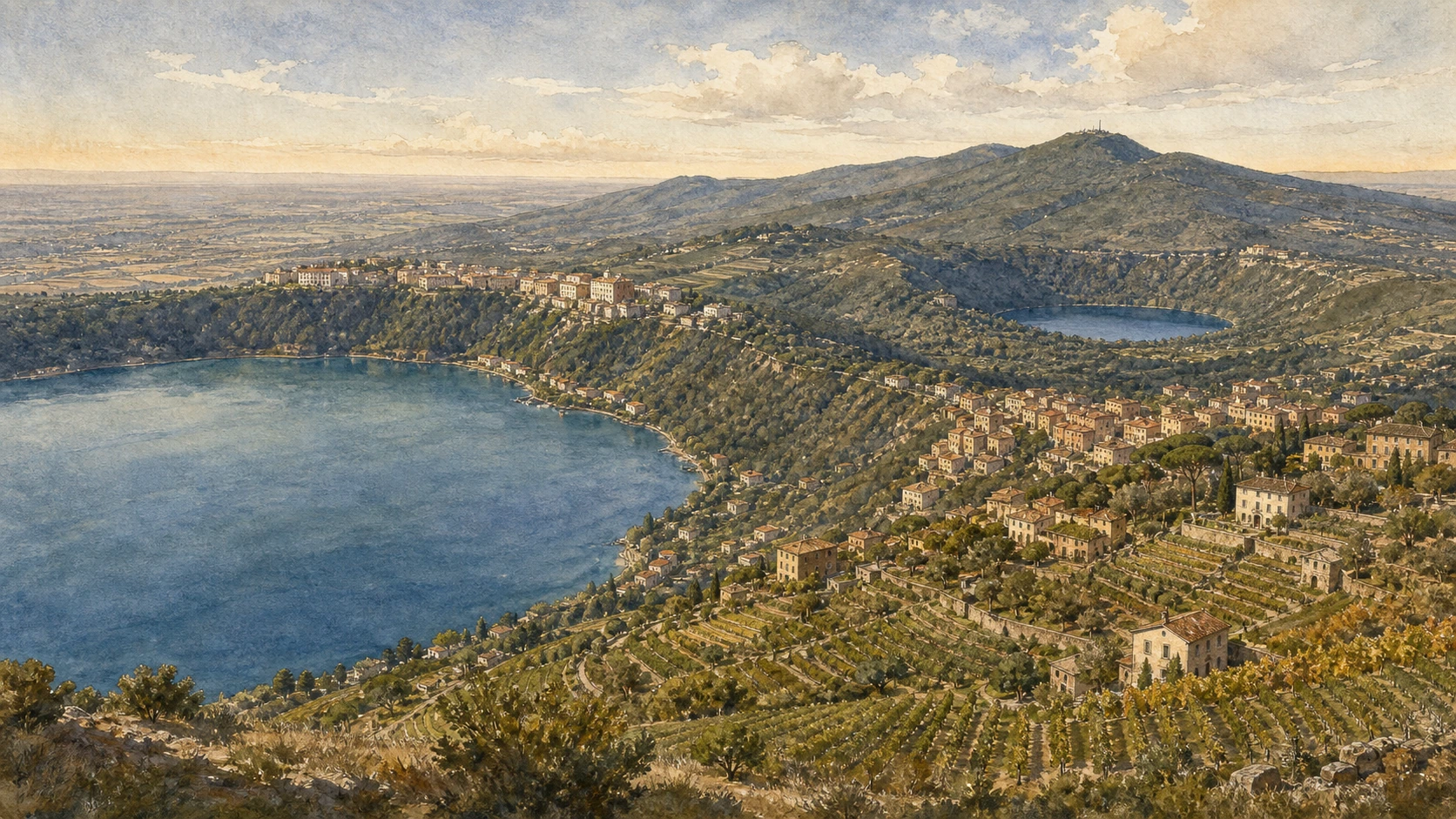
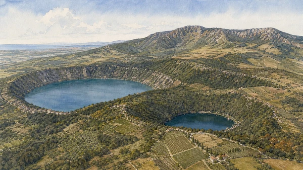
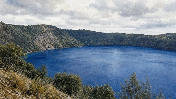
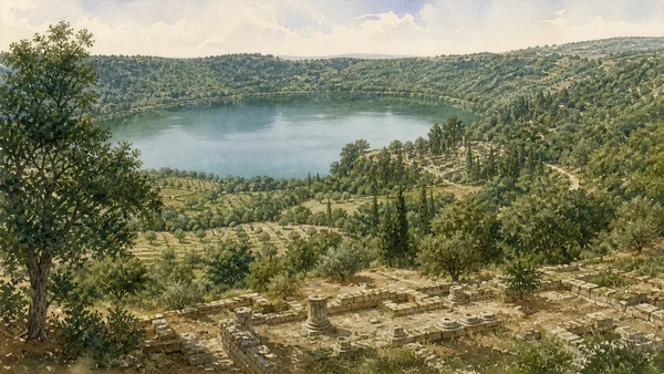
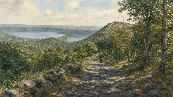
The name Castelli Romani suggests a collection of castles around Rome, yet the region is better understood as a layered volcanic territory. The Alban Hills were formed by several eruptive phases of the Vulcano Laziale; Lake Albano and Lake Nemi occupy later explosion craters, while ridges, calderas and fertile slopes organised roads, settlement, woodland and agriculture. The towns share that ground without sharing one chronology or one urban form.
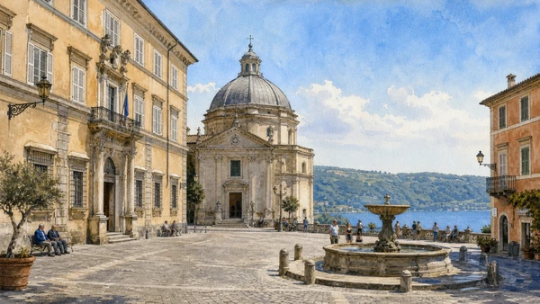
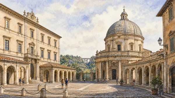
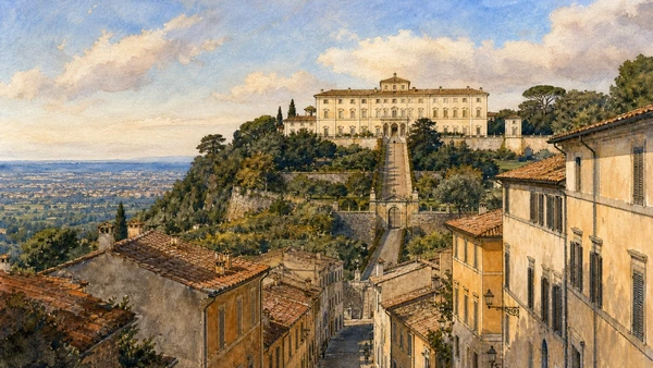
Ancient Latin centres and sanctuaries controlled the heights before Roman expansion. Medieval fortifications and religious foundations reused strategic places. From the sixteenth century, popes, cardinals and Roman families built retreats at Frascati, Castel Gandolfo and Ariccia, turning views, water and approach roads into political architecture. The result is not a countryside outside history but a landscape repeatedly designed in relation to the capital below.
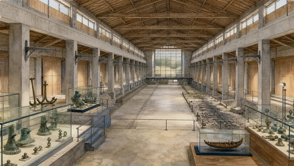
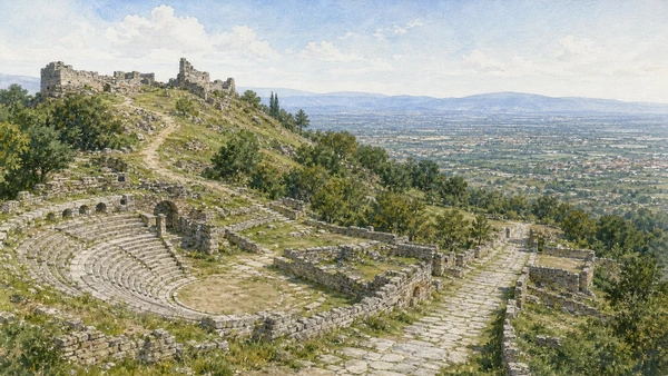
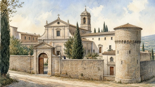
Access is fragmented. The Vatican palace has its own calendar; the Nemi museum is under a dated 2026 closure; the ancient emissary of Lake Albano is inaccessible; Tusculum opens seasonally; the Chigi park at Ariccia is under maintenance; abbey, museum and church hours at Grottaferrata are not identical. A strong visit therefore follows systems rather than a checklist: volcano and water first, then residence, archaeology, sacred woodland and working town.
Look across the crater before entering the palace, follow the road before naming the monument, and let access conditions remain part of the story.