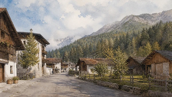
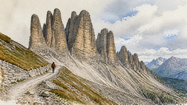
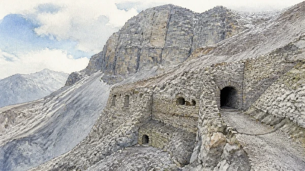
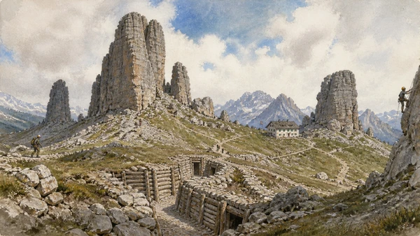
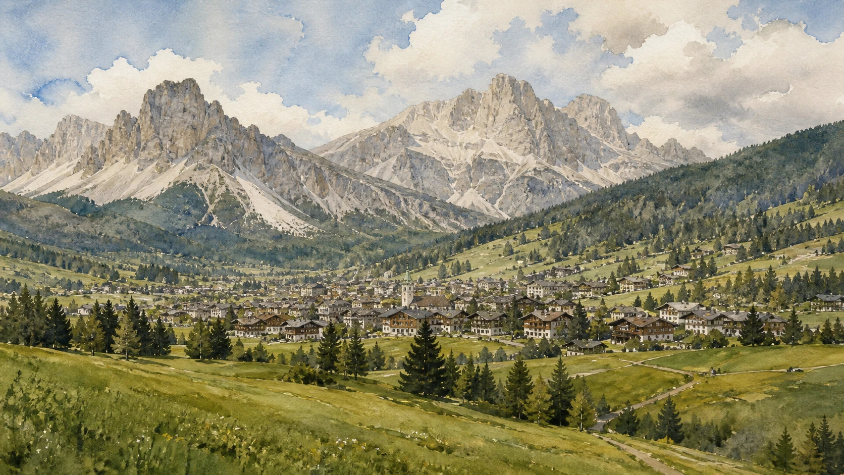
Original documentary watercolour panorama of Cortina d'Ampezzo beneath Tofane, Cinque Torri and pale Dolomite peaks

Veneto Guide 05 · Dolomite geology, Ampezzo culture, collective land, war memory and mountain access

Cortina & the Belluno Dolomites:
Rock, Regole, War Memory

A documented guide to Cortina d’Ampezzo and the Belluno Dolomites that joins pale mountain geology to the Regole, local museums, Lagazuoi and Cinque Torri war landscapes, lifts, Belluno, Vajont memory and protected ecosystems.

Plan the route
Cortina d’Ampezzo to Belluno and Vajont10 chapters · multi-day mountain route

Why the mountains must be read as lived territory

The Belluno Dolomites are not a scenic backdrop for Cortina: rock, pasture, forests, collective institutions, war remains, lifts and valley communities form one inhabited mountain system.

The Dolomites preserve an exceptional record of ancient tropical marine environments and later mountain formation. Their vertical forms create celebrated views but also objective hazards, rapid weather changes and fragile habitats. UNESCO recognition describes a serial natural property; it does not turn every summit into an accessible viewpoint.

Cortina’s Regole d’Ampezzo manage collective forests and pastures through a long local institution that cannot be reduced to folklore. Their museums connect geology, ethnography and twentieth-century art. Lifts and roads enable access, yet seasonal closures, capacity, storms and maintenance must remain part of any honest itinerary.

Lagazuoi and Cinque Torri contain trenches, tunnels and positions from the First World War. These are conflict landscapes and graves, not adventure scenery. Belluno, the Dolomiti Bellunesi National Park and the Vajont memorial widen the route beyond Cortina and show how settlement, conservation, industry and disaster memory shape the province.

Plan several days, choose one high-area chapter only in suitable conditions, preserve a museum or valley alternative and treat every closure as information rather than an obstacle to bypass.

The route

Plan your visit

Begin with Cortina’s town and Regole museums, choose either Lagazuoi or Cinque Torri under current conditions, then dedicate separate time to Belluno, the national park or Vajont rather than compressing the province into a lift circuit.

Day one

Cortina and the Regole

Read the valley settlement, collective land institution and museum collections before going high.

Day two

One war landscape

Choose Lagazuoi or Cinque Torri according to weather, lift status and ability; never combine them automatically.

Day three

Geology and protected land

Use official park or UNESCO interpretation and a route within current trail conditions.

Day four

Belluno or Vajont

Add the provincial city and disaster-memory landscape to correct a resort-only itinerary.

Ten chapters

Explore the places

The guide connects geology, collective land governance, museums, wartime remains, lifts, valleys and protected landscapes. Use the index without turning hazardous mountain terrain into a city checklist.

  1. 01Cortina and the Regole: community before resort
  2. 02Dolomite geology: read the rock before the skyline
  3. 03Lagazuoi: a war landscape, not an adventure set
  4. 04Cinque Torri: climbing, war and managed access
  5. 05Tofane and lifts: access is an engineered system
  6. 06The Regole museums: rock, community and modern image
  7. 07Belluno: the city below the peaks
  8. 08Vajont: landscape, responsibility and memory
  9. 09Dolomiti Bellunesi National Park: biodiversity beyond icons
  10. 10Mountain responsibility: plan for limits
01

A famous resort remains rooted in a valley community and a collective institution governing forests and pasture

Cortina and the Regole: community before resort

Corso Italia and hotel architecture are only the visible centre of an Ampezzo system shaped by villages, language, parish, farms and collective land.

Today

The town is busy in peak seasons and much quieter between them; parking, buses and pedestrian areas change. Regole offices and museums have specific schedules. Treat working pasture and forest roads as managed land, obey signs and do not assume open-looking ground is unrestricted.

History

The Ampezzo valley developed distinctive community institutions, including the Regole, family-based collective bodies that manage inherited forests and pastures. Political borders and tourism changed the valley, especially from the nineteenth century, but collective property and cultural practice continued to shape local identity and landscape care.

How to read this place

Walk from the centre toward a frazione and compare hotel frontage with barns, meadows and forest edge. Use the Regole’s own interpretation for terminology. The institution is neither a medieval curiosity nor a generic commons; it has a specific legal and community history.

What to notice

  • Village pattern extending beyond the resort centre
  • Collective forests and pasture remaining working territory
  • Regole institutions linking culture to land management
Regole d’Ampezzo · Official institution
Original documentary watercolour of Cortina centre, Ampezzo villages, meadows and collectively managed forest
Cortina and the Regole: community before resortOriginal Merlintravel documentary watercolour · 2026
02

Pale towers record ancient tropical seas, reef systems, erosion and tectonic uplift on an exceptional scale

Dolomite geology: read the rock before the skyline

The UNESCO property is valued for geological and geomorphological systems, not simply for attractive peaks at sunset.

Today

Visitor centres, museums and official trails provide safer interpretation than improvised scree approaches. Rockfall, storms, snow and freeze-thaw affect routes in every season. Never infer trail safety from a photograph or from conditions in the valley.

History

Dolomite rocks formed largely from Triassic marine sediments, reefs and platforms before Alpine uplift and erosion exposed their layered forms. Different groups preserve sequences that help reconstruct ancient environments and the evolution of mountain landscapes. The name dolomite also refers to the mineral and rock studied by Déodat de Dolomieu.

How to read this place

Use a broad viewpoint to identify bedding, towers, scree and vegetation zones, then compare museum fossils and diagrams. Avoid saying the mountains were once coral reefs in a simplistic single-stage sense; their history includes multiple environments, deformation and erosion.

What to notice

  • Layered sedimentary platforms visible in cliff faces
  • Scree recording active erosion below towers
  • Fossils and strata linking high peaks to ancient seas
UNESCO · The Dolomites
Original documentary watercolour cutaway-like view of Dolomite strata, towers, scree and ancient marine fossil interpretation
Dolomite geology: read the rock before the skylineOriginal Merlintravel documentary watercolour · 2026
03

Tunnels and positions cut into a high mountain record industrialised war under severe terrain and weather

Lagazuoi: a war landscape, not an adventure set

The open-air museum preserves Italian and Austro-Hungarian positions whose meaning depends on conflict history, commemoration and mountain safety.

Today

Cable-car operation, snow, lightning and trail closures determine access. Tunnels are cold, dark, steep and may require helmet, light and suitable equipment; some routes are not appropriate for children, vertigo or limited mobility. Use official guidance and never enter a closure.

History

From 1915 to 1917 the Dolomite front crossed the area. Opposing forces excavated galleries, occupied ledges and used mines in a struggle shaped by artillery, exposure, avalanches and logistics. Restored routes preserve selected remains, while the mountain itself and human losses resist a triumphalist narrative.

How to read this place

Begin with the map of opposing positions and distinguish restored elements from surviving fabric. Read supply routes and shelter as carefully as firing points. Avoid theatrical poses, removing objects or treating tunnels as via ferrata entertainment detached from the dead and injured.

What to notice

  • Tunnels exposing the labour of high-altitude war
  • Opposing positions separated by extreme terrain
  • Restoration and safety equipment shaping present access
Cortina Dolomiti · Great War museums
Original documentary watercolour of Lagazuoi tunnels, wartime positions and high mountain terrain treated with memorial restraint
Lagazuoi: a war landscape, not an adventure setOriginal Merlintravel documentary watercolour · 2026
04

Rock towers combine climbing history with restored trenches and a landscape crossed by visitors, lifts and seasonal work

Cinque Torri: climbing, war and managed access

Cinque Torri cannot be reduced to one photogenic formation because geology, military remains, climbing and refuge culture overlap.

Today

Road and lift access are seasonal, and the final paths still cross uneven mountain ground. Weather can close lifts and expose visitors far from shelter. The open-air war museum is free to enter but must be respected; climbing requires appropriate experience and equipment.

History

The towers became important to early climbing and later stood near Italian command and artillery positions during the First World War. Restored trenches and reconstructed structures explain military organisation, while refuges and lift systems created new visitor patterns. Erosion and rockfall continue to shape the formation.

How to read this place

Circle rather than approach from one postcard angle. Separate natural joints from climbing routes and restored trenches from geological features. Use interpretation panels to follow logistics and keep off protected or unstable remains.

What to notice

  • Distinct towers revealing fractures and erosion
  • Trenches distributed through a broader military landscape
  • Climbing and lift access adding modern mountain uses
Cortina Dolomiti · Cinque Torri
Original documentary watercolour of Cinque Torri with restrained climbers, restored trenches and refuge landscape
Cinque Torri: climbing, war and managed accessOriginal Merlintravel documentary watercolour · 2026
05

Lifts make altitude accessible but do not remove mountain exposure, weather or the infrastructure sustaining the view

Tofane and lifts: access is an engineered system

Cable cars, gondolas, pistes and refuges are part of modern mountain history and require critical rather than invisible use.

Today

Official lift status, last descent, wind and storms must be checked the same day. High stations can be cold when Cortina is warm. Do not rely on a lift for descent without confirming operation, and never cross closed pistes or work zones.

History

Cortina’s tourism grew through roads, hotels, guides, ski clubs, Olympic investment and successive lift systems. The Tofane became central to mountaineering and winter sport. Infrastructure expanded access and economy while creating energy, water, maintenance and landscape impacts now debated under climate change.

How to read this place

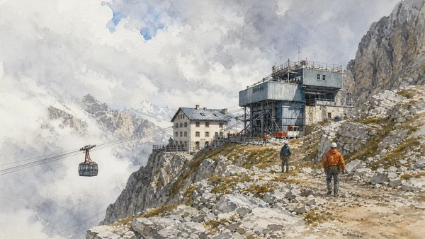
Photograph the cable line and station as evidence rather than cropping them out. From the top, identify valleys and routes, then ask what systems carry people, power and supplies. A panoramic platform is a controlled destination, not proof that adjacent terrain is safe to explore.

What to notice

  • Lift towers and stations making access visible
  • High viewpoint exposing multiple valley systems
  • Seasonal operations and climate governing the modern resort
Cortina Dolomiti · Hiking with lifts
Original documentary watercolour of Tofane cable infrastructure, high station, refuge and changing weather
Tofane and lifts: access is an engineered systemOriginal Merlintravel documentary watercolour · 2026
06

Fossils, Ampezzo material culture and modern art form three distinct collections under the Regole institution

The Regole museums: rock, community and modern image

Cortina’s museums correct a landscape-only visit by preserving evidence that cannot be read safely or completely outdoors.

Today

The Rinaldo Zardini, Ethnographic and Mario Rimoldi museums may use different seasonal hours or combined arrangements. Exhibitions can rotate. Check current access and allow time for labels rather than using museums only as bad-weather substitutes.

History

Local collector Rinaldo Zardini assembled important Dolomite fossils; ethnographic collections preserve work, domestic life and Regole history; Mario Rimoldi built a major twentieth-century art collection connected to the resort’s cultural networks. Their institutional grouping shows different ways a community represents itself.

How to read this place

Keep the collections separate before connecting them. Fossils explain geological time, tools explain labour and art records modern interpretation. A painted mountain is evidence of a cultural gaze, not a substitute for the rock formation outside.

What to notice

  • Triassic fossils grounding the geology chapter
  • Material culture documenting work and household systems
  • Modern art recording changing ways of seeing the Dolomites
Cortina Dolomiti · Museums and art
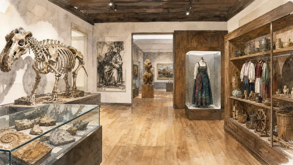
Original documentary watercolour triptych of Dolomite fossils, Ampezzo ethnographic objects and Mario Rimoldi modern art galleries
The Regole museums: rock, community and modern imageOriginal Merlintravel documentary watercolour · 2026
07

The provincial city occupies a river terrace where Venetian architecture, mountain routes and everyday administration meet

Belluno: the city below the peaks

Belluno provides the urban and institutional counterpoint needed to understand the Dolomites beyond resort geography.

Today

The historic centre is walkable but sits above the Piave and Ardo with steep connections. Civic museums and churches follow their own schedules. Markets and public offices keep the centre active; use public transport where possible before continuing into the park.

History

Ancient routes and Roman settlement preceded a medieval episcopal and communal city. Venetian rule shaped palaces and Piazza dei Martiri, while the Piave corridor linked mountain resources to the plain. Modern Belluno became a provincial centre managing a vast territory marked by emigration, industry and tourism.

How to read this place

Read the relation between Piazza Duomo, civic buildings and river terrace, then look outward to the mountain horizon. Architectural refinement and administrative use belong together. The city should not be treated as a service stop on the way to more photogenic peaks.

What to notice

  • Civic and episcopal buildings sharing the central terrace
  • Piave and Ardo cutting steep edges below the city
  • Mountain horizon remaining part of everyday urban orientation
Dolomiti Prealpi · Belluno official tourism
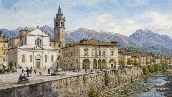
Original documentary watercolour of Belluno's Piazza Duomo, river terrace and Dolomite horizon
Belluno: the city below the peaksOriginal Merlintravel documentary watercolour · 2026
08

A dam, landslide scar and destroyed communities demand precise memory of a human and environmental disaster

Vajont: landscape, responsibility and memory

The 1963 disaster was caused by a massive landslide into the reservoir and catastrophic displacement of water; the dam itself largely remained standing.

Today

The dam and memorial sites use controlled visits, roads and schedules. Some viewpoints are exposed or separated by traffic. Follow official guides, never cross barriers and approach Longarone’s cemetery and memorial spaces with the conduct expected at sites of mass death.

History

On 9 October 1963 a huge mass detached from Monte Toc and entered the Vajont reservoir. The wave overtopped the dam and devastated Longarone and other communities, killing nearly two thousand people. Warning signs, technical decisions and institutional responsibility are central to the history; calling it a natural disaster alone is misleading.

How to read this place

Look from the dam toward the landslide volume, then reverse the view toward the valley. Use measured diagrams and survivor testimony to understand scale. Avoid disaster spectacle and centre the people, decisions and continuing civic memory represented by the affected communities.

What to notice

  • Landslide scar showing the displaced mountain mass
  • Dam remaining as evidence rather than simple cause
  • Memorial institutions restoring names and responsibility
Fondazione Vajont · Official memory foundation
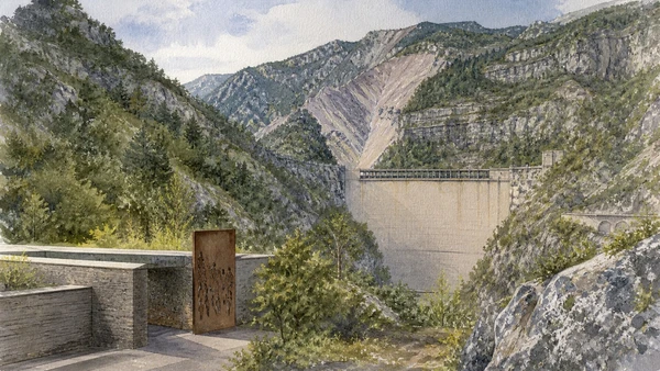
Original documentary watercolour of the Vajont dam, Monte Toc landslide scar and restrained memorial landscape
Vajont: landscape, responsibility and memoryOriginal Merlintravel documentary watercolour · 2026
09

A national park protects a less monumental but exceptionally diverse mountain system of valleys, forests, cliffs and species

Dolomiti Bellunesi National Park: biodiversity beyond icons

The park shows why the province cannot be represented only by Cortina’s famous groups and lift-accessible viewpoints.

Today

Use official visitor centres, maps and current trail notices. Paths vary from valley walks to serious mountain routes; mobile coverage and water cannot be assumed. Dogs, bivouacs, collecting and cycling follow park regulations.

History

The national park was established in 1990 to protect a biologically rich sector of the Belluno Dolomites, including varied geology, elevation and relatively wild valleys. Long traditions of grazing, forestry and seasonal use preceded protection. Conservation now balances habitats, research, residents and controlled recreation.

How to read this place

Choose one low-impact route and use vegetation changes as evidence of altitude, exposure and land use. Do not chase wildlife or disclose sensitive locations. Compare abandoned structures, maintained pasture and forest regeneration without assuming every open area is pristine wilderness.

What to notice

  • Valley-to-summit biodiversity across short distances
  • Human-use traces surviving within protected land
  • Park rules converting conservation into visitor practice
Dolomiti Bellunesi National Park · Official site
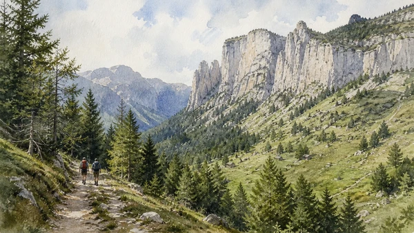
Original documentary watercolour of a Dolomiti Bellunesi National Park valley, forest, limestone cliffs and low-impact hikers
Dolomiti Bellunesi National Park: biodiversity beyond iconsOriginal Merlintravel documentary watercolour · 2026
10

Weather, water, mobility, housing and seasonal pressure determine whether a celebrated landscape remains liveable

Mountain responsibility: plan for limits

A complete guide must treat closure, capacity and local infrastructure as part of the place rather than failures of the visitor experience.

Today

Check forecasts, avalanche bulletins where relevant, official trail and lift notices, last transport, equipment and personal ability. Turn back early when conditions change. In town, use buses, refill water, respect waste systems and avoid blocking residents’ access.

History

Mass tourism, motor traffic, second homes, mega-events and warming winters have changed mountain economies and landscapes. Local institutions invest in adaptation, public transport and conservation while facing real trade-offs. Responsible visitation cannot solve structural problems but can stop amplifying them.

How to read this place

Notice car parks, snowmaking, water systems, staff housing and bus stops alongside peaks. Choose duration over accumulation and accept a museum or valley day. The most informed mountain decision is often not to proceed.

What to notice

  • Transport and parking revealing visitor pressure
  • Weather and closure information functioning as heritage care
  • Valley services sustaining the high-altitude experience
Dolomites UNESCO Foundation · Official site
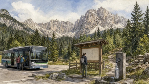
Original documentary watercolour of responsible mountain travel with bus, trail notice, refill point and protected Dolomite landscape
Mountain responsibility: plan for limitsOriginal Merlintravel documentary watercolour · 2026

Ampezzo and the Dolomites through time

A short chronology

From Triassic seas and collective land institutions to the First World War, mountain tourism, UNESCO recognition and climate-aware visitation.

  1. Marine environments accumulate sediments and carbonate platforms later exposed in the Dolomites.

  2. Uplift, faulting and erosion create the present mountain groups and valleys.

  3. Ampezzo family communities consolidate collective forest and pasture institutions later known as Regole.

  4. Ampezzo becomes associated with Habsburg Tyrol after conflicts with Venice.

  5. Scientific geology and early travel reshape European understanding of the Dolomites.

  6. Mountaineers and local guides make major first ascents around Ampezzo.

  7. The First World War front crosses Lagazuoi, Tofane and Cinque Torri.

  8. Ampezzo passes to Italy after the war.

  9. Roads, hotels, skiing and lifts expand modern tourism.

  10. Cortina hosts the Winter Olympic Games.

  11. The Vajont landslide and wave destroy communities and kill nearly two thousand people.

  12. Dolomiti Bellunesi National Park is established.

  13. The Dolomites are inscribed on the UNESCO World Heritage List.

  14. The Milan Cortina Winter Games renew investment and debate about mountain infrastructure.

  15. Climate change, biodiversity protection and resident needs reshape access and tourism choices.

Before your visit

Practical information

01

Choose one high route

Lagazuoi, Cinque Torri and Tofane are separate mountain days under variable conditions.

02

Keep a valley alternative

Museums, Belluno and lower walks are complete chapters, not consolation prizes.

03

Use official status

Lift operation, trail closure and weather must be checked on the day, not inferred from a guide.

04

Treat war sites as memorials

Do not remove objects, enter closed tunnels or turn positions into adventure props.

05

Understand collective land

Regole forests and pastures are managed community territory, not unowned open space.

06

Name Vajont accurately

The landslide and institutional failures caused the catastrophe; the dam largely remained standing.

Method and sources

Sources and image credits

This guide uses current official material from UNESCO, the Dolomites UNESCO Foundation, Regole d’Ampezzo, Cortina Dolomiti, the national park and Vajont memory institutions, checked on 28 August 2026. It distinguishes geology from scenery; collective land from generic commons; lift access from mountain safety; war archaeology from adventure; protected landscape from untouched wilderness; and the Vajont landslide catastrophe from an inaccurate story of a collapsed dam.

All ten images are original Merlintravel editorial watercolours based on documented present-day conditions. They are illustrations, not substitutes for archaeological plans. Opening hours, tickets, accessible routes, temporary exhibitions and conservation work can change; consult the linked official pages shortly before visiting.