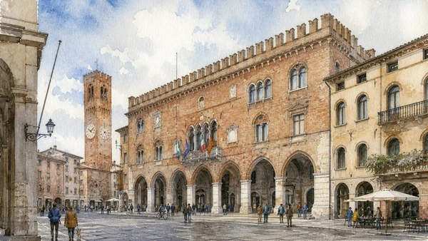
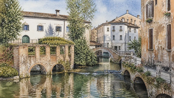
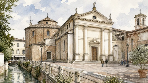
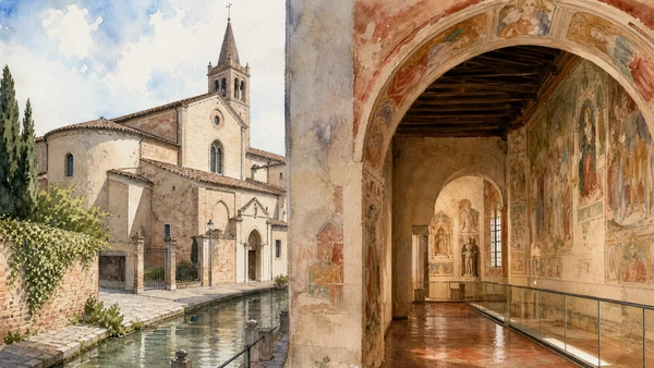
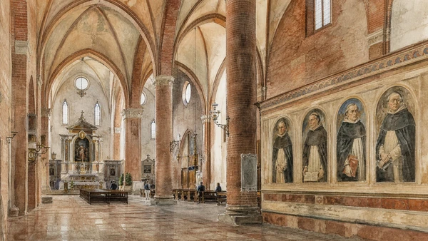
Piazza dei Signori and Palazzo dei Trecento establish communal government amid porticoes and markets. The Cathedral complex, Santa Caterina and San Nicolò preserve different cycles of art and worship, while canals and the Buranelli reveal controlled urban water rather than lagoon geography.
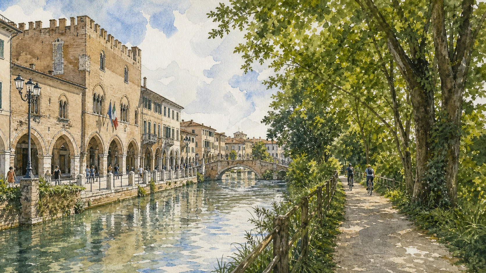
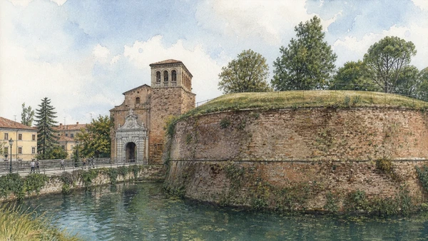
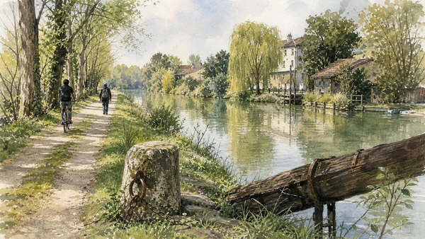
The sixteenth-century walls and gates redefined the city under Venetian rule. Watercourses crossed those defences to power mills and connect trade. The Restera follows the historic towpath where animals hauled flat-bottomed burci against the current, linking Treviso to Casier and the lagoon network.
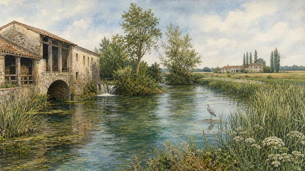
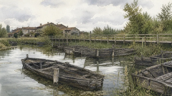
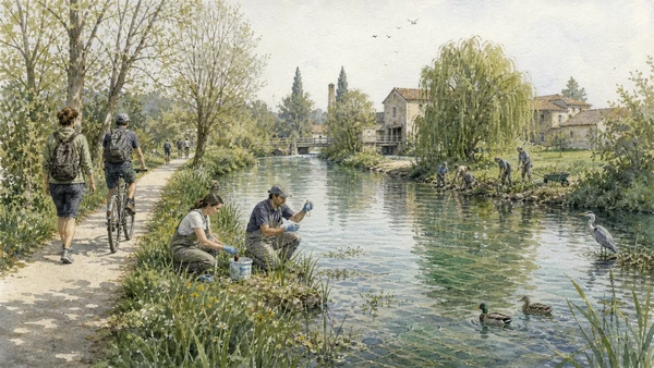
The Sile is a spring-fed lowland river protected by a regional park. Its reeds, fisheries, former industries, hydrography and habitats require slower interpretation than a riverside bicycle image. The cemetery of the Burci preserves decaying freight vessels whose controlled conservation belongs to wetland ecology and labour memory.
Give the historic centre a half-day, then follow the official GiraSile route on a separate half-day or full day, checking path conditions and respecting shared pedestrian and cycling space.