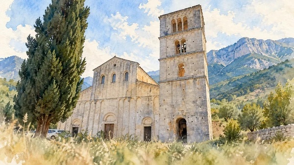
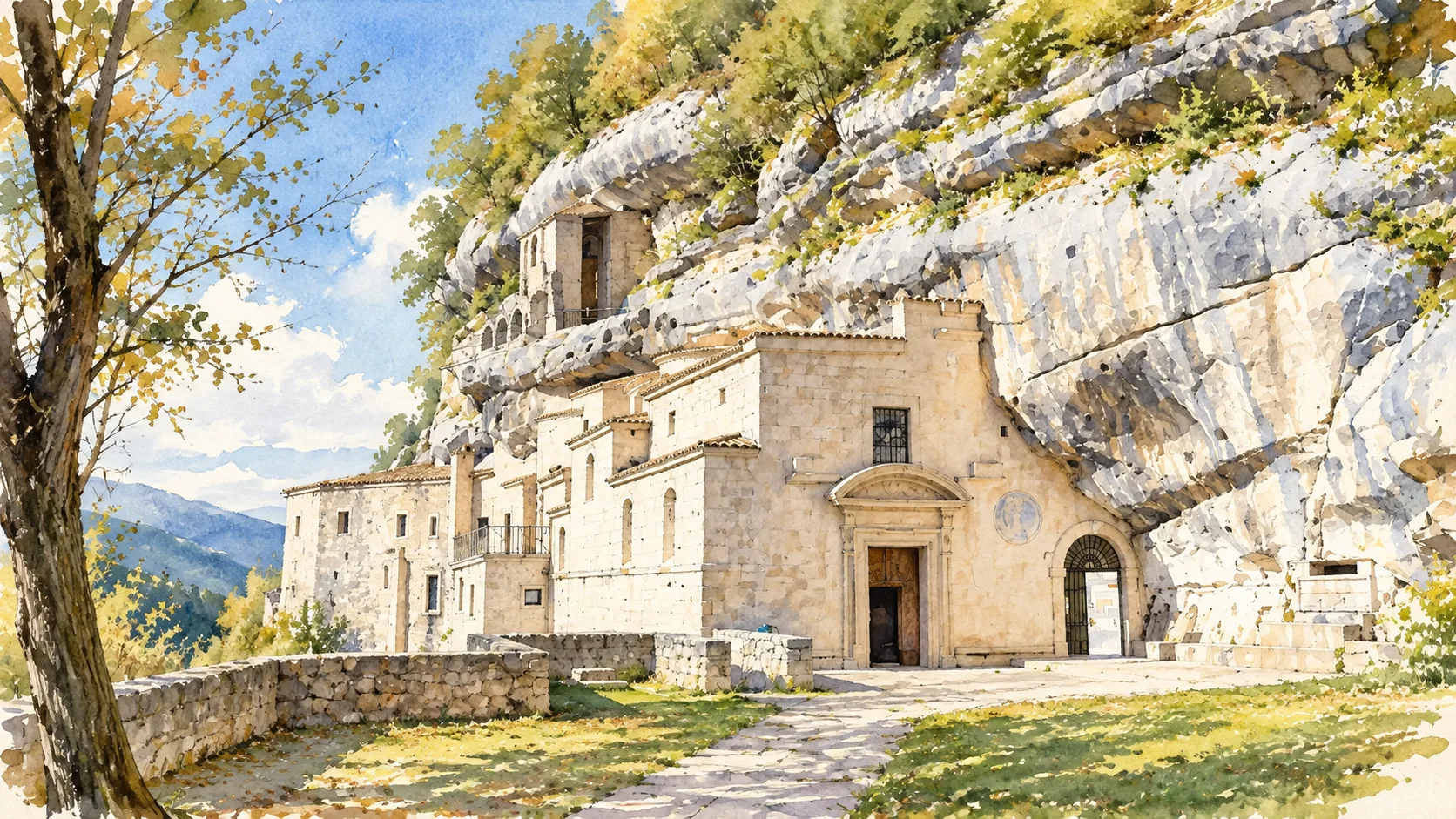
Watercolour: The church and buildings of Santo Spirito a Maiella against the cliff.

Abruzzo · Guide 06

Majella

Hermitages, gorges, stone villages and pastoral structures reveal a mountain inhabited and interpreted across many centuries.

Plan the route
Majella10 chapters · history, culture and landscape

Why this place matters

Read the mountain through its different edges.

Majella is too varied to be reduced to a summit or a single picturesque hermitage. Its western valleys, eastern gorges and inhabited foothills require separate approaches. This guide selects cultural and landscape encounters around the massif; it is not a continuous hiking itinerary. Geological heritage, religious memory and everyday village life overlap, but none should be used as a substitute for checking the route in front of you.

The guide separates documented history from suggestions for reading the site. Named buildings and landscape relationships follow institutional sources; the illustrations are editorial interpretations, not measured surveys or records of current access.

Hermitages, gorges, stone villages and pastoral structures reveal a mountain inhabited and interpreted across many centuries.
The route

Plan your visit

Choose Caramanico and the Orfento for one outing, the Roccamorice hermitages for another, and the eastern side for Guardiagrele or Fara San Martino. Pacentro is a distinct western village visit. Check park notices and the exact trail before any walk.

Western base

Caramanico and Orfento

Choose Caramanico and the Orfento for one outing, the Roccamorice hermitages for another, and the eastern side for Guardiagrele or Fara San Martino.

Hermitage day

San Bartolomeo and Santo Spirito

Eastern visits

Guardiagrele and Fara San Martino

Separate village

Pacentro

Ten chapters

Explore the places

The chapters connect history and terrain. Mountain areas and outlying towns are separate options, not a single continuous walking route.

  1. 01Caramanico Terme
  2. 02Valle dell’Orfento
  3. 03San Bartolomeo in Legio
  4. 04Santo Spirito a Maiella
  5. 05Roccamorice and dry-stone work
  6. 06San Liberatore a Maiella
  7. 07Guardiagrele
  8. 08Gole di San Martino
  9. 09San Martino in Valle
  10. 10Pacentro
01

The inhabited landscape

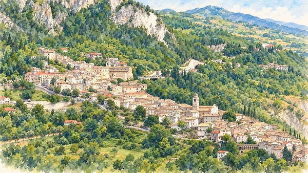
Caramanico Terme

The town is a useful starting point for understanding the western side of the park. Visitor information and a village walk can precede any decision about the valley paths.

Today

This remains an inhabited place. Use pedestrian routes, keep entrances clear and check municipal mobility notices for any restricted area.

History

Caramanico belongs to the network of settlements around the massif. Its visitor role connects an inhabited town with protected landscapes nearby.

How to read this place

Keep a walk through the town distinct from entering the Orfento. The word Terme in the name is not confirmation that a particular thermal facility is operating.

What to notice

  • Keep a walk through the town distinct from entering the Orfento.
  • The relationship between the site and its surrounding route.
  • The distinction between surviving evidence and modern interpretation.
Maiella National Park
Watercolour: Caramanico Terme’s compact buildings on the wooded mountain slope.
Caramanico TermeEditorial watercolour · AI-generated · 2026
02

Terrain and access

Valle dell’Orfento

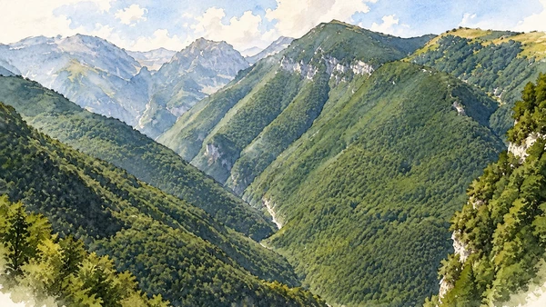
Water and shade give this valley a character distinct from the exposed high ground. Even a lower-level visit should begin with the responsible visitor centre’s instructions.

Today

Conditions depend on the exact route and the day. Check the responsible operator, weather and local access notices; a viewpoint is not the same undertaking as a mountain traverse.

History

The park’s described Scalelle route follows the Orfento landscape and identifies the visitor centre as a point for access registration. Different valley routes have different demands.

How to read this place

Choose an exact route rather than asking only to visit the valley. Check current registration, restrictions and conditions; do not extend a lower walk towards exposed hermitages without a separate assessment.

What to notice

  • Choose an exact route rather than asking only to visit the valley.
  • The relationship between the site and its surrounding route.
  • The distinction between surviving evidence and modern interpretation.
Maiella National Park · Scalelle and Orfento
Watercolour: The wooded Orfento valley between steep mountain sides.
Valle dell’OrfentoEditorial watercolour · AI-generated · 2026
03

Worship and memory

San Bartolomeo in Legio

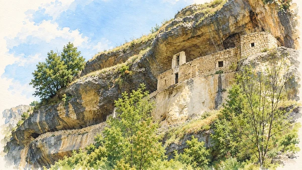
The hermitage fits beneath a rock overhang, making the boundary between building and cliff unusually clear. The approach and the confined space shape the visit.

Today

Worship and local religious life continue here. Visitor access may pause for services; consult the church or managing institution before planning an interior visit.

History

The oratory is largely set into the rock and belongs to the mountain’s eremitic heritage. Religious use and later additions are part of its history.

How to read this place

Notice what has been cut from the rock and what has been built against it. Assess the path and steps before setting out; a compelling photograph does not describe the difficulty of access.

What to notice

  • Notice what has been cut from the rock and what has been built against it.
  • The relationship between the site and its surrounding route.
  • The distinction between surviving evidence and modern interpretation.
Maiella National Park · San Bartolomeo in Legio
Watercolour: San Bartolomeo in Legio’s small built shelter beneath its broad rock overhang.
San Bartolomeo in LegioEditorial watercolour · AI-generated · 2026
04

Worship and memory

Santo Spirito a Maiella

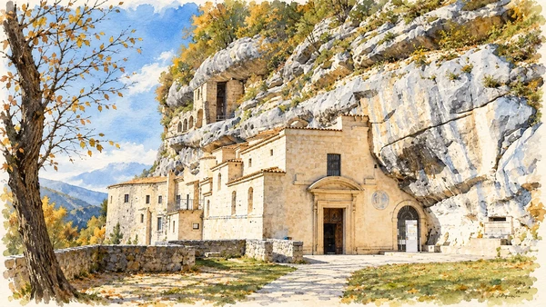
The complex has a different scale from the small rock shelter at San Bartolomeo. Plan enough time to understand its relationship with the steep wooded setting.

Today

Worship and local religious life continue here. Visitor access may pause for services; consult the church or managing institution before planning an interior visit.

History

Santo Spirito is closely connected with Pietro da Morrone and the Celestinian religious landscape. Successive spaces record more than one phase of use.

How to read this place

Avoid confusing this mountain site near Roccamorice with Santo Spirito al Morrone near Sulmona. Similar names do not imply the same address, route or opening arrangements.

What to notice

  • Avoid confusing this mountain site near Roccamorice with Santo Spirito al Morrone near Sulmona.
  • The relationship between the site and its surrounding route.
  • The distinction between surviving evidence and modern interpretation.
Maiella National Park · Santo Spirito a Maiella
Watercolour: The church and buildings of Santo Spirito a Maiella against the cliff.
Santo Spirito a MaiellaEditorial watercolour · AI-generated · 2026
05

The inhabited landscape

Roccamorice and dry-stone work

The village gives the hermitage journey an inhabited context. Nearby pastoral structures offer a different kind of building knowledge from formal churches.

Today

This remains an inhabited place. Use pedestrian routes, keep entrances clear and check municipal mobility notices for any restricted area.

History

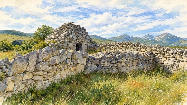
The wider Majella landscape preserves dry-stone huts and evidence of agricultural and pastoral work. These structures belong to practical uses of local materials.

How to read this place

Read the way stones carry weight and shed water. A hut is not automatically prehistoric, and private fields should not be entered simply to reach a photograph.

What to notice

  • Read the way stones carry weight and shed water.
  • The relationship between the site and its surrounding route.
  • The distinction between surviving evidence and modern interpretation.
Maiella National Park · Roccamorice
Watercolour: Dry-stone pastoral huts in the countryside around Roccamorice.
Roccamorice and dry-stone workEditorial watercolour · AI-generated · 2026
06

Worship and memory

San Liberatore a Maiella

The abbey near Serramonacesca offers a strong architectural counterpoint to the cliff hermitages. The church and its wooded setting deserve attention before extending the walk.

Today

Worship and local religious life continue here. Visitor access may pause for services; consult the church or managing institution before planning an interior visit.

History

Its stone façade is accompanied by a square bell tower. The monastery’s history connects the area with Benedictine institutions and later changes in religious administration.

How to read this place

Compare the distinct construction of tower, façade and interior. Keep any riverside extension separate from the church visit and follow the current route information.

What to notice

  • Compare the distinct construction of tower, façade and interior.
  • The relationship between the site and its surrounding route.
  • The distinction between surviving evidence and modern interpretation.
Maiella National Park · San Liberatore
Watercolour: The Romanesque facade and square bell tower of San Liberatore a Maiella.
San Liberatore a MaiellaEditorial watercolour · AI-generated · 2026
07

The inhabited landscape

Guardiagrele

The eastern-side town connects stone architecture with craft and civic life. It is a destination in its own right rather than merely a mountain access point.

Today

This remains an inhabited place. Use pedestrian routes, keep entrances clear and check municipal mobility notices for any restricted area.

History

Medieval growth and the history of the Kingdom of Naples shaped the town. Santa Maria Maggiore and local metalworking traditions are important parts of its cultural identity.

How to read this place

Look at the church’s relationship to the square and the treatment of local stone. In workshops, distinguish contemporary craft from claims of an entirely unchanged medieval practice.

What to notice

  • Look at the church’s relationship to the square and the treatment of local stone.
  • The relationship between the site and its surrounding route.
  • The distinction between surviving evidence and modern interpretation.
Maiella National Park · Guardiagrele
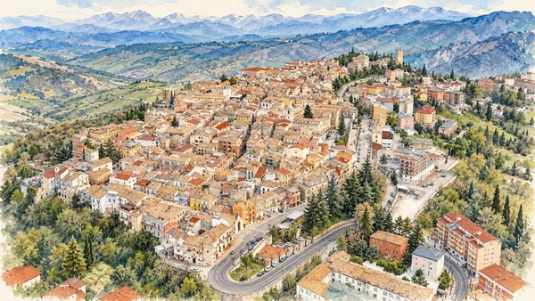
Watercolour: An elevated view across Guardiagrele’s roofs and surrounding countryside.
GuardiagreleEditorial watercolour · AI-generated · 2026
08

Terrain and access

Gole di San Martino

The narrow entrance near Fara San Martino is a powerful landscape encounter. It should not be confused with the much longer mountain ascent that continues into the massif.

Today

Conditions depend on the exact route and the day. Check the responsible operator, weather and local access notices; a viewpoint is not the same undertaking as a mountain traverse.

History

The gorge opens into a valley system extending towards Monte Amaro. The park describes a very large distance and height difference for the full route.

How to read this place

Treat an entrance visit and a high-mountain undertaking as separate choices. Check closures, rockfall and weather information before entering; turn back according to the chosen plan.

What to notice

  • Treat an entrance visit and a high-mountain undertaking as separate choices.
  • The relationship between the site and its surrounding route.
  • The distinction between surviving evidence and modern interpretation.
Maiella National Park · Gole di San Martino
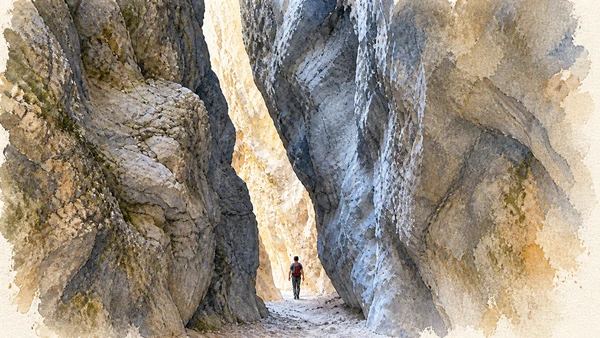
Watercolour: The narrow limestone entrance to the Gole di San Martino.
Gole di San MartinoEditorial watercolour · AI-generated · 2026
09

Evidence and interpretation

San Martino in Valle

The monastic remains add a human layer within the gorge landscape. Surviving walls need to be read together with the terrain that surrounds them.

Today

Check the institution’s current opening, booking arrangements and accessible route. Individual rooms, exhibitions and approaches may have separate conditions.

History

The archaeological site preserves a religious presence in a valley repeatedly shaped by natural processes. Excavation and conservation make the remains visible today.

How to read this place

Distinguish the surviving footprint from an imagined complete abbey. Access depends on the gorge route, so a museum-style expectation of constant opening is inappropriate.

What to notice

  • Distinguish the surviving footprint from an imagined complete abbey.
  • The relationship between the site and its surrounding route.
  • The distinction between surviving evidence and modern interpretation.
Maiella National Park · Gole di San Martino
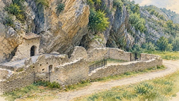
Watercolour: The exposed monastic remains of San Martino in Valle beneath the gorge walls.
San Martino in ValleEditorial watercolour · AI-generated · 2026
10

The inhabited landscape

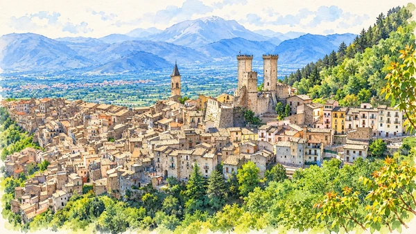
Pacentro

Pacentro’s compact streets and castle skyline make a distinct western-side village visit. Its position above the Peligna valley helps explain the relationship between settlement and terrain.

Today

This remains an inhabited place. Use pedestrian routes, keep entrances clear and check municipal mobility notices for any restricted area.

History

The castle’s history includes the Caldora family and successive defensive phases. The inhabited village also preserves traditions of craft and everyday work.

How to read this place

Compare the tall square towers with later rounded defensive elements. A castle view, an interior visit and the village’s domestic streets each have different access boundaries.

What to notice

  • Compare the tall square towers with later rounded defensive elements.
  • The relationship between the site and its surrounding route.
  • The distinction between surviving evidence and modern interpretation.
Maiella National Park · Pacentro
Watercolour: Pacentro’s castle towers above the clustered village roofs.
PacentroEditorial watercolour · AI-generated · 2026

The territory through time

A short chronology

A concise chronology linking the documented sites to the wider story.

  1. Valleys and gorges form the terrain within which settlement and worship develop.

  2. San Liberatore and San Martino in Valle represent different settings for religious communities.

  3. Rock shelters and remote approaches provide places for withdrawal and devotion.

  4. San Bartolomeo and Santo Spirito connect this landscape with Pietro da Morrone.

  5. Dry-stone huts preserve evidence of labour outside the compact villages.

  6. Guardiagrele and other settlements connect mountain resources with skilled production.

  7. Exposed remains at San Martino in Valle make a buried monastic site visible again.

  8. Conservation and current access management shape visits to valleys, hermitages and high terrain.

Before your visit

Practical information

01

Plan separate days

Choose a manageable set of visits and allow for transport, booked entries and the return journey.

02

Use the exact place name

Similar religious names can refer to different sites. Santo Spirito al Morrone near Sulmona and Santo Spirito a Maiella near Roccamorice require separate journeys.

03

Check the institution

Opening hours, tickets, exhibitions and religious access change. Use the linked managing institution shortly before visiting.

04

Check the actual terrain

A town walk, gorge walkway, lift arrival and mountain path have different demands. Use current route information, weather and closures for the option you choose.

05

Arrange accessible visits

Historic interiors and mountain approaches can include steps, gradients or uneven surfaces. Ask about the specific route instead of assuming an entire destination is step-free.

06

Respect work and residence

Farms, workshops, churches and historic streets remain in use. Follow signs, keep entrances clear and ask permission before entering private spaces.

Method and sources

Sources and image credits

Prepared on 8 September 2026 from the institutional sources linked below. Historical claims are separated from editorial observations and itinerary suggestions. Older institutional brochures are used for stable cultural context, never as current timetables. Prices, transport schedules, trail status and admission are deliberately left to the responsible operators. Illustrations are not photographs, measured reconstructions or evidence of current conditions.

The eleven images are AI-generated editorial watercolours guided by photographic references. They interpret named places and are not photographs or substitutes for measured plans. Opening hours, tickets, accessible routes, temporary exhibitions and conservation work can change; consult the linked official pages shortly before visiting.