ILLUSTRATED GUIDE · SICILY
Seven islands,
seven distinct lives
written by fire and sea
Thirty substantial chapters across volcanic geology, prehistoric routes, island towns, working landscapes, active craters, museums, cinema, migration and the everyday knowledge required to travel between seven different worlds.
Explore the placesA SICILIAN JOURNEY THAT MUST RESPECT SEVEN DIFFERENT ISLANDS
Seven islands cannot be told as one postcard.
My relationship with Sicily began through family journeys, with the island understood as a network of people, roads, meals and inherited stories rather than a decorative background. The Aeolian Islands ask for the same attention at a smaller scale: every crossing changes the geology, the rhythm of settlement, the relationship with water and the meaning of distance.
Lipari is an archaeological capital and a working port; Vulcano and Stromboli are two different active systems, with different hazards and rules. Salina is divided among three municipalities and preserves forests, vineyards and a long commercial memory. Panarea holds a fortified Bronze Age settlement and a dispersed volcanic archipelago. Filicudi and Alicudi record maritime routes, terraces, migration and forms of daily life that cannot be explained by calling them merely remote.
This guide therefore refuses the familiar seven-islands-in-seven-paragraphs formula. It follows each island through its villages, paths, museums, farms, eruptive history and contemporary responsibilities. The sea connects the chapters, but it never makes the islands interchangeable.
One destination
Thirty chapters across geology, archaeology, settlement and island knowledge
The opening chapters establish the archipelago as the emerged part of a much larger volcanic system in the southern Tyrrhenian Sea. UNESCO inscription in 2000 recognises the islands under geological criterion viii, especially their role in the scientific understanding of Strombolian and Vulcanian eruption types. This is not a UNESCO cultural inscription, although the human record is exceptionally rich.
The central sequence gives each island its own scale. Lipari is read through the Castle, museum, Greek and Roman city, cathedral, confinement history, pumice, obsidian and rural settlements. Vulcano is read through the Fossa cone, Vulcanello, the 1888–90 eruption, hydrothermal activity and present risk. Salina is organised around three municipalities, two mountains, Bronze Age sites, salt production, capers, Malvasia and migration. Stromboli joins inhabited neighbourhoods to persistent activity, historic eruptions, monitoring and civil-protection knowledge.
Panarea, Filicudi and Alicudi are not closing footnotes. Their chapters distinguish fortified prehistoric sites, underwater volcanism, small-island museums, coastal villages, abandoned agricultural settlements, steps, cisterns and the material consequences of living with limited land and changing transport.
Access information is deliberately qualified. Sea conditions can cancel connections; paths, museums, crater zones and boat landings can close; volcanic alert levels and municipal ordinances can change quickly. The guide records the situation checked on 24 August 2026 and directs travellers back to the responsible institutions before every journey.

The selection
Thirty chapters,
seven island identities
The route moves island by island, joining nearby places and connected histories into substantial chapters while preserving the distinct geology, communities and risks of all seven islands.
- 01The Aeolian Archipelago: Seven Islands, One Volcanic Arc and Different Lives
- 02Obsidian and the First Island Networks
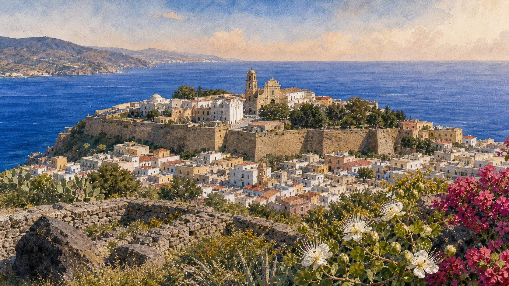
- 03Lipari Town, the Castle and the Bernabò Brea Museum
- 04From Prehistoric Village to Greek Lipara
- 05The Necropolis and Roman Lipari
- 06Cathedral, 1544 and the Castle as a Place of Confinement
- 07Canneto, the Pumice Coast and Monte Pilato
- 08Quattropani, Kaolin and the Western Coast
- 09Pianoconte, San Calogero and Rural Lipari
- 10Vulcano: Porto, the Fossa Cone and a Composite Island
- 11The 1888–1890 Eruption and Vulcanello
- 12Piano, Gelso and the Limits of the Spa Narrative
- 13The 2021 Hydrothermal Crisis and a Responsible Vulcano Route
- 14Salina: Two Mountains, Three Municipalities and One Green Island
- 15Lingua: Lagoon, Roman Saltworks and the Portella Village
- 16Malfa and Pollara: Vineyards inside an Eroded Volcanic World
- 17Leni, Rinella and the Mountains of Felci and Porri
- 18Malvasia, Capers, Emigration and Salina on Screen
- 19Stromboli: Persistent Activity and the Sciara del Fuoco
- 20San Vincenzo, Piscità and Ginostra: Two Sides of an Inhabited Volcano
- 211930, 2002–2003 and 2019: Living Memory of Crisis
- 22Sirens, Higher Ground and Crater Access
- 23Strombolicchio and the Island's Cinematic Double Image
- 24Panarea: Three Districts, Punta Milazzese and Two Bays
- 25Calcara, Basiluzzo and Panarea's Protected Archipelago
- 26Filicudi: Porto, Filo Braccio and Capo Graziano
- 27Pecorini, Zucco Grande and Filicudi's Maritime Archive
- 28Alicudi: One Cone, One Landing and a Settlement Measured in Steps
- 29Filo dell'Arpa, High Terraces and the Material Cost of Island Life
- 30A Complete Aeolian Journey: Seven Islands without a Checklist
UNESCO RECOGNISES A GEOLOGICAL LABORATORY, NOT SEVEN IDENTICAL VOLCANOES
The Aeolian Archipelago: Seven Islands, One Volcanic Arc and Different Lives
Seven inhabited islands rise above a much larger submarine volcanic system north of Sicily, each with a different age, shape and relationship to present activity.

The place today
Lipari is the urban and transport centre; Vulcano and Stromboli require active hazard awareness; Salina combines protected mountains and agriculture; Panarea, Filicudi and Alicudi become progressively smaller and more dependent on sea conditions. The UNESCO inscription concerns the islands' exceptional contribution to volcanology. It does not make every cultural site a World Heritage property or guarantee access to a crater.
The historical chapter
The terms 'Vulcanian' and 'Strombolian' entered scientific language through observations made in this archipelago. Yet active, quiescent and extinct describe different volcanic histories and must not be used as synonyms for safe, dangerous or permanently inactive. Erosion, collapse, uplift and submarine volcanism are as important as visible cones in explaining the seven islands.
What to notice
- Treat each island as a separate journey; ferry frequency and harbour exposure change with season and weather.
- UNESCO geological value does not replace current Civil Protection instructions at Vulcano or Stromboli.
BLACK VOLCANIC GLASS CONNECTED THE EOLIE TO DISTANT SHORES
Obsidian and the First Island Networks
Lipari's obsidian helped sustain permanent communities and exchange routes long before Greek colonisation or modern tourism.

The place today
The museum and archaeological areas on Lipari, Salina, Panarea and Filicudi allow the material sequence to be followed across several islands. Obsidian cores, tools, pottery, huts and burials show communities adapting agriculture and navigation to limited land and water. The object itself is striking, but archaeological context explains who extracted, worked, carried and used it.
The historical chapter
From the Neolithic onward, high-quality obsidian from Lipari circulated across the central and western Mediterranean. Later Bronze Age communities established distinctive settlements at Portella, Punta Milazzese, Filo Braccio and Capo Graziano. These were not isolated island cultures: boats connected households, raw materials and political worlds while storms and distance continued to shape everyday risk.
What to notice
- Do not remove obsidian or pottery fragments from paths or archaeological ground.
- A shared material culture does not mean that every island settlement had the same date or social organisation.

THE ARCHIPELAGO'S MAIN TOWN IS ALSO ITS DEEPEST HISTORICAL ARCHIVE
Lipari Town, the Castle and the Bernabò Brea Museum
Working ports, ordinary streets and a fortified lava dome meet in the urban centre from which the seven islands can best be understood.

The place today
Marina Corta and Marina Lunga serve different scales of movement, while the historic town climbs towards the Castle. Inside the citadel, the Luigi Bernabò Brea Museum distributes collections across several buildings and periods. Its pottery, obsidian, inscriptions, masks and underwater finds are not a substitute for the islands; they provide the chronology needed to read them accurately.
The historical chapter
The Castle occupies a volcanic dome repeatedly settled and fortified. Excavation revealed a long stratigraphy beneath Greek, Roman, medieval and modern construction. The citadel's present appearance results from many defensive and religious campaigns rather than a single intact medieval phase. Museum, excavation and living town therefore form one urban chapter.
What to notice
- Allow substantial time for the museum; its sections cannot be read responsibly as a quick waiting-room visit before a ferry.
- Harbour operations and museum openings can change, so verify both independently.
TEN METRES OF SETTLEMENT CONNECT THE CASTLE TO CONTRADA DIANA
From Prehistoric Village to Greek Lipara
Castle excavations and the archaeological area of Contrada Diana reveal how the island centre changed without abandoning the same strategic harbour landscape.

The place today
The Castle preserves superimposed prehistoric floors and deposits rather than one visible village frozen in time. Outside the citadel, Contrada Diana retains stretches of the fourth-century BC fortification and areas tied to the Greek and Roman city. The surviving remains are discontinuous, so museum objects and plans are essential to reconstruct the relationship among acropolis, lower settlement, walls and burial ground.
The historical chapter
Greek settlers founded Lipara in the sixth century BC within an island already occupied for millennia. The city developed naval, religious and commercial connections while facing Etruscan, Carthaginian and Roman power. The later wall at Contrada Diana records a specific phase of defence, not the first boundary ever built around the settlement.
What to notice
- Do not call the prehistoric layers Greek or treat the fourth-century wall as the city's original fortification.
- Stay within marked archaeological paths; much of the ancient city lies beneath later urban fabric.
BURIALS, INSCRIPTIONS AND BATHS EXTEND THE CITY BEYOND THE CITADEL
The Necropolis and Roman Lipari
Contrada Diana preserves a long funerary landscape alongside evidence for Roman urban life, trade and bathing.

The place today
Tombs and grave goods now displayed in the museum represent many centuries and social practices. Sarcophagi, amphorae, masks and inscriptions should be connected to excavated contexts rather than read as one homogeneous collection. Roman baths and other remains demonstrate that Lipari continued as a living town after conquest, not merely as a cemetery around a vanished Greek city.
The historical chapter
Rome took Lipara during the First Punic War. The island's strategic position and alum resources supported continued occupation, while burial customs changed across Hellenistic and Roman phases. Later building and cultivation fragmented the archaeological surface, making the dialogue between open-air remains and museum documentation especially important.
What to notice
- Many objects are fragile originals removed from their find spots; follow museum labels rather than assigning a tomb by visual style alone.
- Do not imply that all visible structures at Contrada Diana belong to one century.
SACRED REBUILDING AND COERCIVE MEMORY OCCUPY THE SAME CITADEL
Cathedral, 1544 and the Castle as a Place of Confinement
The Cathedral and Norman cloister stand within walls shaped by destruction, Spanish reconstruction and later use of the Castle for imprisonment and confinement.

The place today
The Cathedral complex contains medieval fabric, later rebuilding and restoration; the cloister is one of the clearest survivals of the Norman phase. Fortifications around it were strengthened after the Ottoman attack of 1544, when Lipari was devastated and many inhabitants were taken captive. In more recent centuries, parts of the citadel served as prison and as a place of political or administrative confinement.
The historical chapter
Sacred Lipari was rebuilt repeatedly after conquest, attack and earthquake. The 1544 catastrophe became a central memory, but it should not erase the earlier cathedral or reduce subsequent Spanish works to a picturesque wall. The confinement phase likewise belongs to the inhabited history of the Castle and deserves more than a passing anecdote.
What to notice
- Religious services can limit access to the Cathedral; visit as a place of worship as well as a monument.
- Describe captivity and confinement without turning suffering into atmospheric decoration.
WHITE PUMICE AND BLACK OBSIDIAN BELONG TO ONE VOLCANIC HISTORY
Canneto, the Pumice Coast and Monte Pilato
North of Lipari town, settlement, former industrial quarries and lava flows create a coast where geology and labour are inseparable.

The place today
Canneto remains a residential and beach settlement, while Porticello and Acquacalda carry the visual legacy of pumice extraction and loading. Monte Pilato preserves obsidian flows and eruptive forms above this coast. Pale deposits and dark glass should be read together: they came from different parts of the same volcanic evolution and supported different economies.
The historical chapter
Lipari's pumice was extracted and exported on an industrial scale until activity ceased in the twenty-first century. Obsidian had already made the island important thousands of years earlier. Quarry cuts, abandoned structures and beaches of floating fragments therefore record work, environmental change and global trade rather than a purely natural white landscape.
What to notice
- Do not enter unstable industrial remains or collect material from protected or archaeological areas.
- Distinguish naturally eroded pumice beaches from unrestricted permission to cross former quarry property.
THE QUIETER SIDE OF LIPARI OPENS TOWARDS CLIFFS, FARAGLIONI AND OLD ALTERATION ZONES
Quattropani, Kaolin and the Western Coast
Western Lipari combines high villages, coloured kaolin ground, cliffs and long views towards Salina, Filicudi and Alicudi.

The place today
Quattropani and its surrounding paths sit above an exposed coast very different from Canneto. Hydrothermal alteration created the pale and ochre kaolin landscapes; farther south, cliffs and faraglioni reveal the scale of erosion around older volcanic structures. Road viewpoints and walking routes vary in condition and exposure, especially after rain or wind.
The historical chapter
Kaolin and altered rock record circulation of hot fluids through the volcanic system. Rural settlement used terraces, cisterns and dispersed houses to occupy ground far from the main port. The western coast therefore joins geology to an agricultural landscape that modern road circuits can easily pass without reading.
What to notice
- Keep away from crumbly edges and avoid walking on wet altered ground without local advice.
- Do not confuse the faraglioni of Lipari with similarly named formations on other islands.
THERMAL WATER, CISTERNS AND TERRACES EXPLAIN LIFE AWAY FROM THE PORT
Pianoconte, San Calogero and Rural Lipari
The inland and western settlements preserve a practical landscape of stored water, cultivation and routes between scattered households.

The place today
Pianoconte provides a lived centre above the coast. At San Calogero, thermal use can be traced through structures from different periods, but the site is archaeological rather than a guaranteed operating spa. Across rural Lipari, cisterns, terraces and compact farm buildings show how families adapted to seasonal rain, wind and steep ground.
The historical chapter
Hydrothermal resources attracted repeated use from antiquity onward, while agriculture depended on managing water rather than assuming volcanic soil alone guaranteed abundance. Population shifted with trade, quarrying and migration, leaving a dispersed settlement pattern that remains distinct from the dense harbour town.
What to notice
- Check the current access status of San Calogero; historical thermal use is not a promise of bathing facilities.
- Respect cisterns, terraces and houses as parts of working or privately owned land.

ARRIVAL TAKES PLACE INSIDE AN ACTIVE HYDROTHERMAL SYSTEM
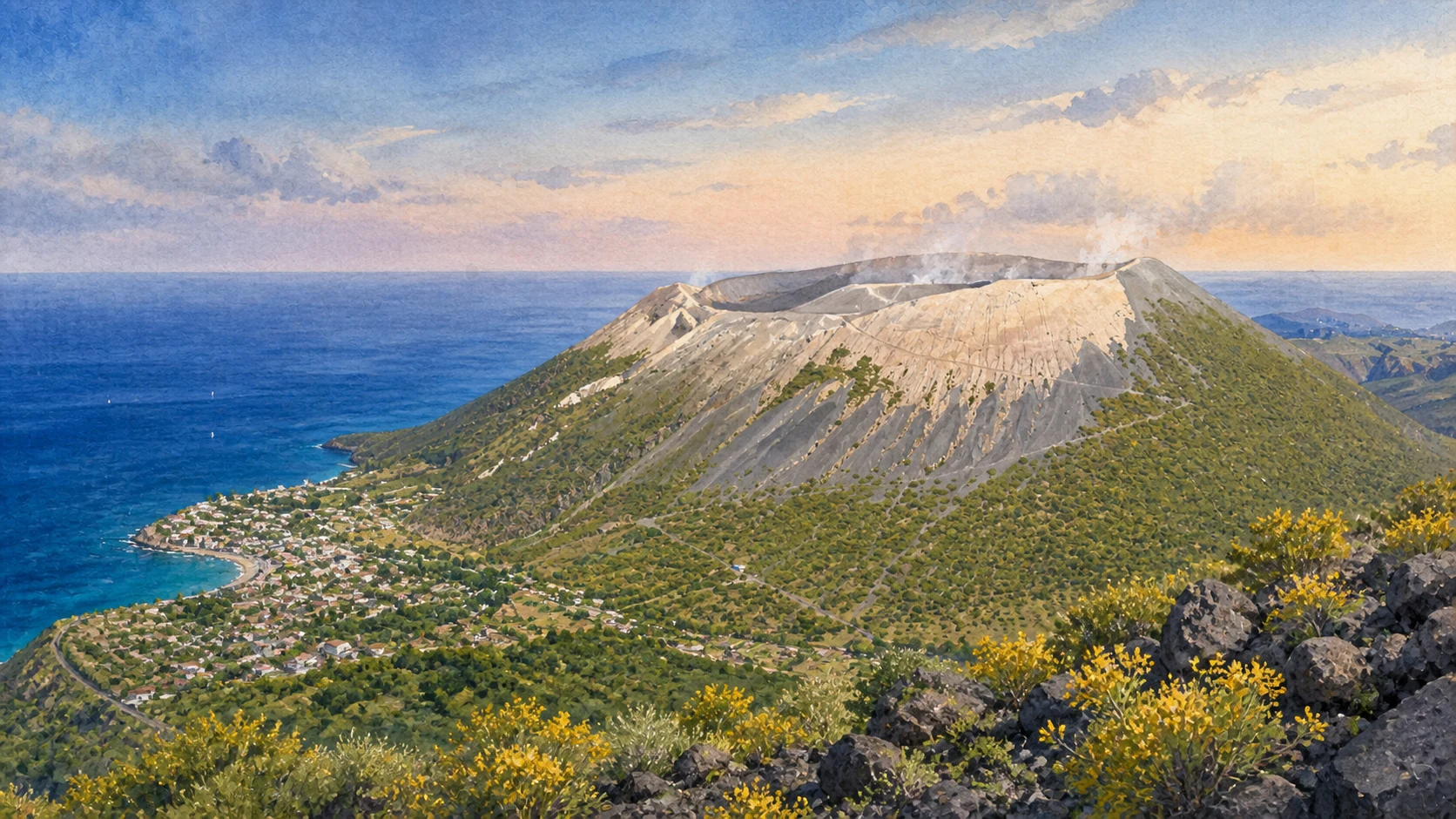
Vulcano: Porto, the Fossa Cone and a Composite Island
Vulcano is formed by several volcanic edifices joined through time; Porto di Levante lies beneath the young Fossa cone rather than beside a single simple volcano.

The place today
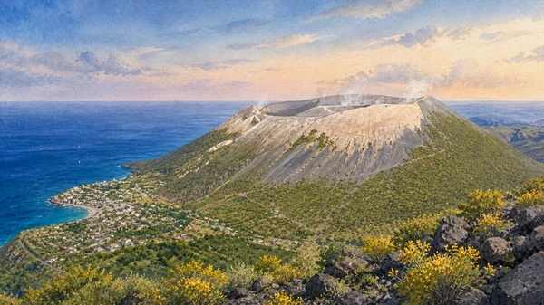
Fumaroles, gas emissions and altered ground can affect the port and crater area even without an eruption. The Fossa route is subject to official restrictions, weather and gas conditions. The cone rises within an older caldera, while Vulcanello to the north and Piano-Gelso to the south belong to different phases of the island.
The historical chapter
Repeated eruptions, collapse and accumulation built Vulcano from separate centres. The Fossa cone is young in geological terms and its visible crater became the island's dominant image, but that image hides the older southern platform and the later attachment of Vulcanello. Understanding the composite structure is the first safety lesson.
What to notice
- Check Civil Protection, municipal and local access instructions before approaching the crater.
- A quiet crater is not evidence that gas exposure or unrest is absent.
ONE ERUPTION NAMED A STYLE; ANOTHER CENTRE JOINED AN ISLAND
The 1888–1890 Eruption and Vulcanello
The Fossa eruption of 1888–1890 defined the scientific term 'Vulcanian', while Vulcanello records separate eruptive phases that eventually connected to Vulcano.

The place today
Bombs and deposits around the Fossa help explain short, violent explosive pulses, but approaching them remains dependent on current rules. Vulcanello's craters and lava surfaces occupy the northern peninsula between the port and the channel towards Lipari. Paths and buildings now cross a landscape that was once a distinct island.
The historical chapter
Contemporary observers, including Giuseppe Mercalli, documented the 1888–1890 eruption and helped establish 'Vulcanian' as a model in volcanology. Vulcanello emerged through eruptions beginning in antiquity and was later tied to Vulcano by accumulated material and coastal change. Neither process should be compressed into one legendary event.
What to notice
- Do not collect bombs or cross closed sectors in order to see textbook examples more closely.
- Use 'Vulcanian' for an eruptive style, not as the name of every event at Vulcano.
THE OLDER SOUTHERN ISLAND HAS VILLAGES, FIELDS AND ITS OWN COAST
Piano, Gelso and the Limits of the Spa Narrative
Beyond the port and Fossa, Piano and Gelso reveal a broader inhabited island, while mud and warm water require more caution than a vintage spa advertisement suggests.

The place today
Piano occupies the southern upland and Gelso opens towards a quieter coast and lighthouse landscape. Hydrothermal manifestations near Porto have long attracted bathing, but gas, temperature, microbial conditions and official restrictions can change. A historical mud-bath image must never be translated into automatic permission to enter today.
The historical chapter
The southern part of Vulcano belongs to older volcanic centres and supported agriculture and settlement distinct from the transient port economy. Thermal use forms one chapter within that history, not the island's defining purpose. Changes in gas output repeatedly demonstrate that leisure infrastructure exists inside an active system.
What to notice
- Treat mud pools and warm water as regulated natural hazards, not as self-service wellness facilities.
- Allow time for Piano and Gelso if the aim is to understand the whole island rather than only the crater.
ALERT LEVELS CHANGE; PREPAREDNESS MUST REMAIN
The 2021 Hydrothermal Crisis and a Responsible Vulcano Route
The gas crisis that began in 2021 showed how quickly ordinary island spaces can require monitoring, restrictions and new behaviour.

The place today
Civil Protection and scientific agencies track seismicity, temperature, deformation and gas. A dated green alert does not mean zero risk, and a guide cannot turn a current status into a permanent statement. A responsible route begins with official updates, respects closed areas, avoids low poorly ventilated spaces during gas warnings and follows evacuation information.
The historical chapter
Increased fumarolic activity and carbon-dioxide emissions in 2021 led to emergency measures and heightened surveillance. Conditions later improved, but the episode belongs to the island's social history as well as to monitoring data: residents adapted homes, work and movement to an invisible hazard. It should be remembered without presenting crisis as spectacle.
What to notice
- Recheck the official alert and municipal ordinances on the day of the visit.
- If authorities close a route or issue gas instructions, no scenic objective overrides them.

FOSSA DELLE FELCI AND MONTE DEI PORRI ORGANISE SEPARATE COMMUNITIES
Salina: Two Mountains, Three Municipalities and One Green Island
Salina's twin peaks, fertile slopes and three municipalities create a more complex civic geography than its compact outline suggests.

The place today
Santa Marina Salina is the main eastern harbour and commercial centre, but Malfa governs much of the north and Leni the southern saddle and coast. Ferry arrival does not place every village within walking distance. The two mountains divide routes, exposures and water catchments while also giving Salina the highest summit in the archipelago.
The historical chapter
Successive volcanic centres built the island before erosion, cultivation and settlement shaped its present green appearance. Municipal division reflects historical communities rather than tourist zones. Terraces, churches, harbours and vineyards developed around different slopes, so the island must be travelled as several connected local worlds.
What to notice
- Check which harbour a service uses; Santa Marina and Rinella are not interchangeable arrival points.
- Do not reduce Salina to a single circular road or a generic green-island label.
A LOW COASTAL BASIN AND A STEEP PREHISTORIC RIDGE HOLD DIFFERENT HISTORIES
Lingua: Lagoon, Roman Saltworks and the Portella Village
At Salina's south-eastern edge, Lingua preserves the lagoon and saltworking memory, while nearby Portella records a Bronze Age settlement abandoned with its household forms unusually legible.

The place today
The lagoon beside Lingua is a protected archaeological and ecological place, not an operating salt pan for casual entry. Roman installations lie beneath and around later transformations. At Portella, stone huts and finds reconstruct a community positioned above the coast; access and conservation conditions must be checked with the Archaeological Park.
The historical chapter
Salt production contributed to the island's name and maritime economy across ancient phases. Portella belongs to the early second millennium BC and preserves buildings whose abandonment allowed objects and spatial relationships to survive. Bringing the two sites together shows how coast and ridge supported very different forms of work and settlement.
What to notice
- Remain on authorised paths around the lagoon and archaeological areas.
- Do not present the Roman saltworks and the Bronze Age village as parts of the same settlement.
THE NORTH COAST JOINS A LIVING TOWN TO A HALF-OPEN CRATER
Malfa and Pollara: Vineyards inside an Eroded Volcanic World
Malfa occupies cultivated northern slopes, while Pollara sits within a volcanic amphitheatre opened to the sea by erosion and collapse.

The place today
Malfa remains a municipal centre of houses, churches, vineyards and services rather than a scenery platform. Westward, Pollara's cliff and offshore stack reveal part of an older volcanic structure. The famous beach and access paths can change because erosion, rockfall and sea action continue; cinema memories do not make the coast physically stable.
The historical chapter
Agriculture adapted to ash-rich soil, wind and limited water through terraces and selected crops. Pollara's form records destruction of much of a cone, after which families cultivated and settled the protected interior. Modern film associations added another layer to a place already shaped by geology and labour.
What to notice
- Check current access to the shore at Pollara and respect rockfall closures.
- Do not treat cultivated terraces as abandoned public viewpoints; many remain working or private.
THE SOUTHERN SADDLE LINKS A WORKING HARBOUR TO THE ARCHIPELAGO'S HIGHEST RESERVE
Leni, Rinella and the Mountains of Felci and Porri
Leni and Rinella connect inhabited terraces and maritime arrival to two protected mountain systems with very different profiles.

The place today
Rinella is a compact harbour and coastal community; nearby Rinicedda preserves archaeological evidence from early settlement. Above, Leni occupies the saddle between Fossa delle Felci and Monte dei Porri. Reserve paths enter shaded woodland, fern-rich summit environments and exposed volcanic slopes, but route conditions, heat and water must be assessed separately.
The historical chapter
Fossa delle Felci rises to 962 metres, the highest point in the Eolie, while Monte dei Porri shapes Pollara's western side. Long cultivation and grazing altered lower slopes; protection now conserves habitats and endemic species. The relation between harbour, farms and mountains explains Salina's unusual ecological range.
What to notice
- Do not underestimate elevation because the walk begins on a small island; carry water and check weather.
- Protected-area status requires staying on authorised routes and leaving plants untouched.
PROTECTED PRODUCTS CARRY THE MEMORY OF WORK, LOSS AND RETURN
Malvasia, Capers, Emigration and Salina on Screen
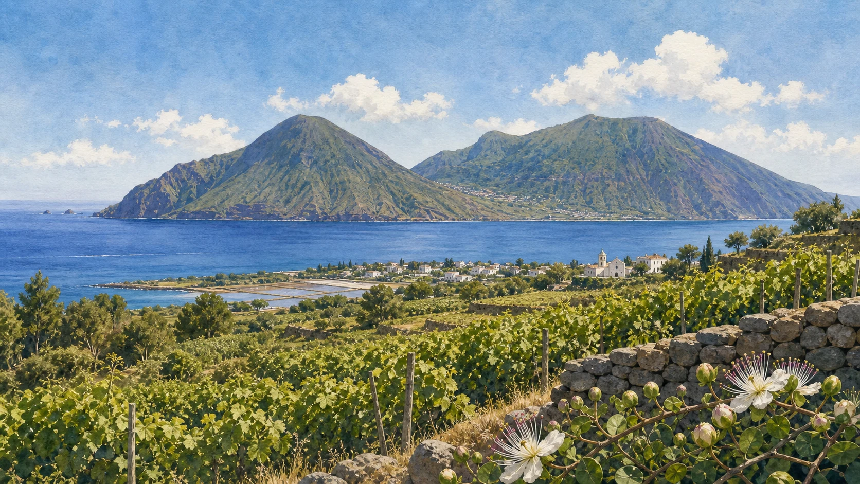
Vines and caper plants organise cultivated terraces, but their modern reputation rests on regulated production and generations of labour rather than volcanic soil alone.

The place today
Malvasia delle Lipari and the Aeolian caper have protected names with defined areas and production rules. Drying grapes, salting buds and harvesting caper berries require timing and hand work. Museums and family archives also record merchant networks, phylloxera, emigration and return. Film locations at Rinella and Pollara belong to this lived island, not to an empty cinematic backdrop.
The historical chapter
Wine linked Salina to Mediterranean markets before vine disease and economic crisis accelerated departure. Capers persisted as a resilient crop, while remittances and returning families reshaped houses and land. Later cinema, especially *Il Postino*, gave selected landscapes international visibility but could not contain the island's fuller social history.
What to notice
- Use protected names only for certified products; not every local sweet wine is Malvasia delle Lipari DOP.
- Visit film locations as settlements and working land, not as sets preserved for unrestricted access.

THE VISIBLE CONE IS THE SUMMIT OF A MUCH LARGER SUBMARINE VOLCANO
Stromboli: Persistent Activity and the Sciara del Fuoco
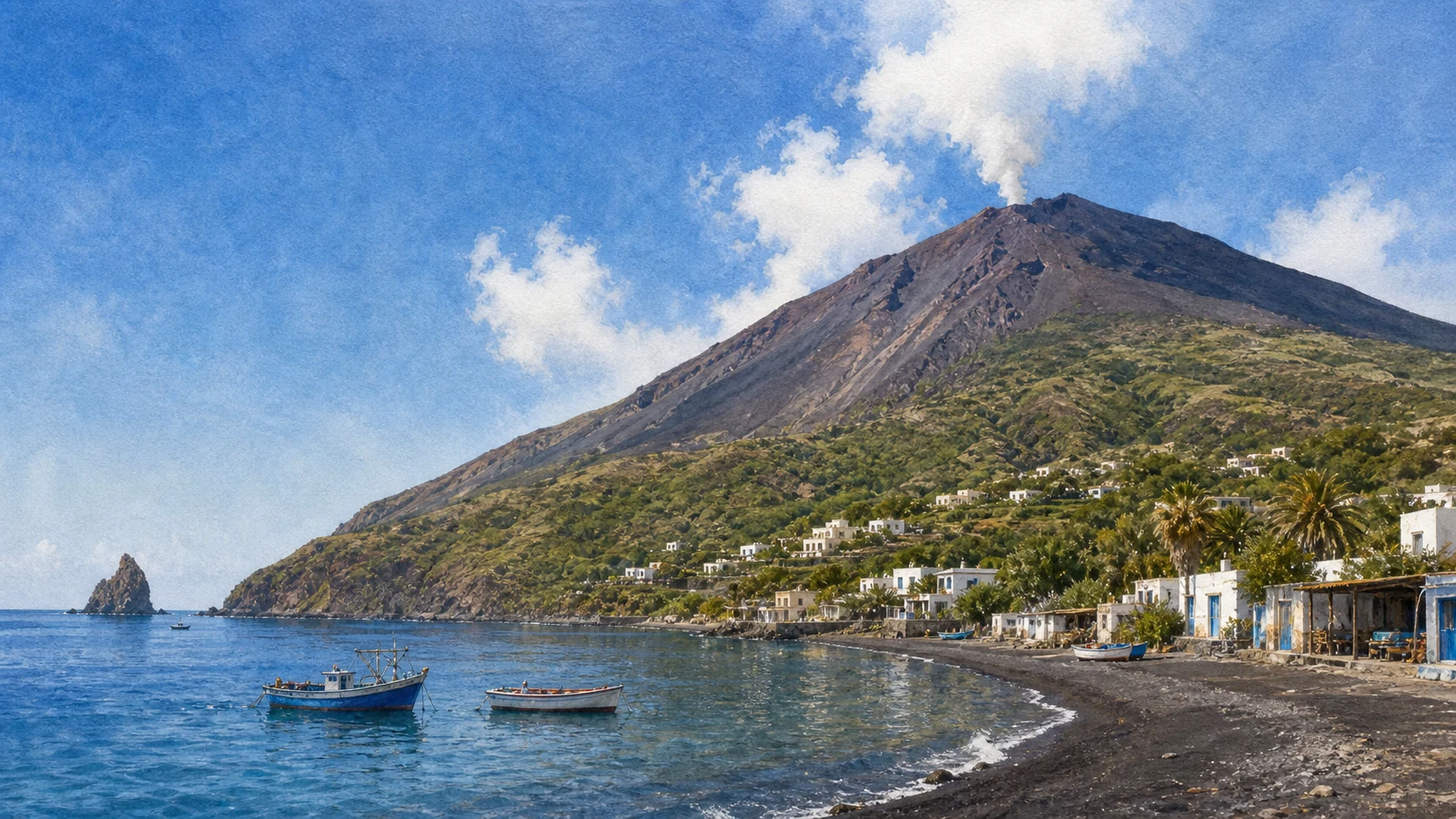
Stromboli rises steeply from deep water and maintains an open-conduit system whose ordinary explosions gave their name to Strombolian activity.

The place today
Activity is observed and monitored continuously, but its intensity can change rapidly. The Sciara del Fuoco is the north-western collapse scar down which incandescent material and lava may travel; it is also linked to landslide and tsunami hazard. Viewing places, boat distances and summit access depend on current official rules, not on a permanent tourism formula.
The historical chapter
Repeated construction and flank collapse shaped the modern volcano. Persistent small explosions are only the background behaviour: major explosions, paroxysms, lava flows and slope failures belong to the same system. The inhabited north-east coast and Ginostra survive through preparedness as much as through familiarity.
What to notice
- Never use the word 'regular' to imply that an explosion schedule is predictable or safe.
- Stay outside exclusion zones on land and sea and follow Civil Protection instructions.
THE ISLAND'S COMMUNITIES DO NOT SHARE THE SAME HARBOUR OR ROAD NETWORK
San Vincenzo, Piscità and Ginostra: Two Sides of an Inhabited Volcano
The north-eastern villages form a chain of settlement, while Ginostra remains a separate south-western community reached primarily by sea.

The place today
San Vincenzo, San Bartolo, Ficogrande and Piscità connect landing, houses, churches, beaches and paths on the more populated side. Ginostra occupies a different volcanic amphitheatre with a small landing and limited infrastructure. Ferry schedules, swell and eruptive conditions can affect the two sides differently, so one cannot be treated as a simple neighbourhood of the other.
The historical chapter
Settlement concentrated where slopes, landing and cultivable ground allowed. Families combined fishing, farming and migration, adapting buildings and paths to ash, wind and repeated eruptions. Ginostra's separation preserved a distinctive community life but also magnified the consequences of disrupted transport or emergency access.
What to notice
- Confirm the actual landing and return service; a ticket to Stromboli does not guarantee the same access to Ginostra.
- Keep emergency routes and assembly areas clear in every settlement.
THREE EPISODES SHOW WHY ORDINARY ACTIVITY IS NOT THE WHOLE VOLCANO
1930, 2002–2003 and 2019: Living Memory of Crisis
Violent explosions, flank instability, tsunami and paroxysms have repeatedly transformed daily life on Stromboli.

The place today
The 1930 eruption remains a central resident memory of destructive explosions and casualties. In 2002–2003, lava and a flank landslide generated waves that damaged the coast and demonstrated tsunami risk. The paroxysms of 2019 again showed that powerful events can occur against a background of persistent activity, leading to deaths, evacuations and stronger monitoring.
The historical chapter
Each crisis produced new scientific observation, civil-protection practice and community knowledge. They should not be blended into one generic eruption history: 1930, the 2002 landslide-tsunami sequence and the 2019 paroxysms involved different processes. Together they explain sirens, exclusion areas and the need to move rapidly to higher ground after strong sea withdrawal or unusual waves.
What to notice
- Treat accounts of casualties and evacuation as community history, not as dramatic entertainment.
- Learn the current tsunami and eruption instructions before settling on a beach or coastal path.
A RULE MUST BE RECHECKED; PREPAREDNESS CANNOT WAIT FOR AN ALARM
Sirens, Higher Ground and Crater Access
Stromboli's access regime and alert level can change, while basic response to volcanic and tsunami warning must already be understood.

The place today
Official notices define which elevations and routes require guides or are closed. Sirens and messages support response but may not be the first sign of a rapidly developing event. Visitors should identify higher ground, follow local signage, avoid stopping in channels and respect instructions from authorities and qualified guides.
The historical chapter
Monitoring expanded through decades of crises, but no instrument removes uncertainty. The modern safety system combines INGV observation, Civil Protection planning, municipal measures and personal behaviour. Presenting a summit excursion as a fixed entitlement undermines that system and can date a guide the moment conditions change.
What to notice
- Check the official alert, municipal orders and guide requirements on the same day as any ascent.
- After a strong or unusual sea movement, move inland and uphill without waiting to film or collect belongings.
AN OLD VOLCANIC NECK AND A MODERN FILM BOTH CHANGED HOW STROMBOLI IS SEEN
Strombolicchio and the Island's Cinematic Double Image
Strombolicchio records an older volcanic centre offshore, while Rossellini's film fixed a powerful but partial image of inhabited Stromboli.

The place today
The steep rock and lighthouse of Strombolicchio are observed from the sea under navigation and protection rules; they are not an ordinary landing. In the villages, places associated with *Stromboli, terra di Dio* attract attention, but houses, church spaces and streets continue to belong to a community rather than to an open film set.
The historical chapter
Strombolicchio is a remnant of an early phase of the volcanic system, far older than the present active cone. In 1949–1950, Roberto Rossellini and Ingrid Bergman brought international cinema to the island, generating stories that intertwined production, residents and publicity. Geological and cinematic time meet without becoming the same narrative.
What to notice
- Do not attempt unauthorised landing or climbing on Strombolicchio.
- Respect private property and worship spaces associated with film history.

A SMALL MODERN ISLAND HOLDS A LARGE BRONZE AGE LANDSCAPE
Panarea: Three Districts, Punta Milazzese and Two Bays
San Pietro, Ditella and Drautto form the inhabited chain, while Punta Milazzese and the bays of Cala Junco and Cala Zimmari connect archaeology to a highly pressured coast.

The place today
Punta Milazzese preserves a fortified Bronze Age settlement on a defensible promontory. Cala Junco below is visually enclosed but environmentally sensitive; Cala Zimmari serves a different shore and access pattern. The modern districts contain resident services and transport that should not be displaced by the island's luxury image.
The historical chapter
The Milazzese community belonged to inter-island networks after the earlier Capo Graziano phase. Defensive position, huts and imported materials reveal both insecurity and exchange. Modern tourism concentrates intensely on the same limited paths and coves, making archaeological protection and everyday resident access part of one planning problem.
What to notice
- Stay outside archaeological structures and follow current access rules at Punta Milazzese.
- Do not treat Cala Junco or Cala Zimmari as unlimited-capacity beaches.
VOLCANISM CONTINUES UNDERWATER AROUND ISLETS THAT ARE NOT TOURIST DECORATION
Calcara, Basiluzzo and Panarea's Protected Archipelago
Fumarolic activity near Calcara, the islets of Basiluzzo, Dattilo and Lisca Bianca, and protected western slopes reveal Panarea as a volcanic system larger than its inhabited shore.

The place today
Gas emissions and submarine vents are monitored scientific phenomena, not natural spa equipment. Boat routes among the islets depend on reserve zones, sea conditions and authorised activity. The local museum section brings objects from dispersed prehistoric and classical sites into a context that cannot be reconstructed from a fast boat circuit alone.
The historical chapter
Panarea's present land is a remnant within a broader volcanic complex. Erosion and collapse isolated the surrounding rocks, while hydrothermal processes continue below the sea. Archaeological remains on Panarea and Basiluzzo record repeated use, but protection and access differ by site; visibility from a boat does not confer permission to land.
What to notice
- Verify reserve zoning and avoid approaching active gas areas without qualified local guidance.
- Do not land on protected islets unless the current rules and authorised service explicitly allow it.

TWO PREHISTORIC SETTLEMENTS EXPLAIN A SOUTHERN ARC OF HABITATION
Filicudi: Porto, Filo Braccio and Capo Graziano
Seven old volcanic centres formed Filicudi, while modern and prehistoric settlement concentrated where southern slopes offered landing, fields and defensible ground.

The place today
Filicudi Porto connects transport, houses and the island museum. At Filo Braccio, early Capo Graziano culture appears through farms and domestic material on lower ground. The later village on the Montagnola of Capo Graziano contains twenty-seven documented huts above the sea. Paths, heat and site access require planning even though the distances look short.
The historical chapter
Communities moved from more open agricultural locations towards a defensible height during the Bronze Age, while maintaining maritime exchange. The museum reunites finds from land and sea, showing that Filicudi's apparent remoteness never meant isolation. Geological age and settlement history both distinguish it from the active eastern islands.
What to notice
- Keep the lower Filo Braccio phase distinct from the later fortified settlement on Capo Graziano.
- Check museum and archaeological-area openings before relying on a same-day ferry connection.
A FISHING SHORE, ABANDONED TERRACES AND SHIPWRECKS SHARE ONE ISLAND HISTORY
Pecorini, Zucco Grande and Filicudi's Maritime Archive
Pecorini a Mare remains a south-coast community, while inland paths reach abandoned cultivation and the sea preserves a long record of navigation around La Canna and the caves.

The place today
Pecorini's landing and small waterfront depend on sea conditions. Paths towards Zucco Grande cross terraces and houses linked to agricultural contraction and emigration. Offshore, La Canna is a protected volcanic stack, while wrecks and amphora fields documented by the museum belong to archaeological research rather than to an unrestricted underwater attraction.
The historical chapter
Families combined fishing, farming and seasonal mobility until economic pressure emptied some inland settlements. The island's position on maritime routes produced shipwreck deposits from different periods. Bringing abandonment and underwater archaeology together reveals the costs and connections hidden by Filicudi's image as an isolated retreat.
What to notice
- Do not enter unstable abandoned houses or remove objects from terraces and seabed.
- Boat access to caves and La Canna changes with swell; accept route changes made for safety and protection.

THE INHABITED EASTERN SLOPE HAS NO ROAD SYSTEM TO HIDE ITS GRADIENT
Alicudi: One Cone, One Landing and a Settlement Measured in Steps
Alicudi rises as a steep volcanic cone whose houses, church and terraces climb from the port along stone stairways.

The place today
The landing is the island's logistical hinge. From it, paths ascend through scattered houses towards San Bartolo; goods, waste and luggage still move through a terrain without ordinary roads. Ferry arrival, sea state, heat and the number of steps determine what can be carried and how far a short visit can responsibly reach.
The historical chapter
Settlement concentrated on the more workable eastern side, where terraces captured soil and cisterns stored rain. The cone's apparently simple form contains a social landscape built through repeated manual transport. Modern quietness is therefore not an absence of infrastructure but the result of a different, labour-intensive system.
What to notice
- Travel light and arrange assistance rather than assuming wheeled transport exists beyond the landing.
- Keep stairways clear for residents, animals and the movement of essential supplies.
ABOVE THE CHURCH, CULTIVATED HEIGHT BECOMES WIND, MEMORY AND LONG RETURN
Filo dell'Arpa, High Terraces and the Material Cost of Island Life
High paths lead towards Filo dell'Arpa, old terraces and places associated with refuge, work and emigration rather than with a single panoramic summit.

The place today
The upper island is exposed and waterless in summer conditions; routes require realistic timing and respect for private land. Timpone delle Femmine and Pantalucci belong to histories that mix documentary evidence, oral memory and later interpretation. Abandoned walls and terraces should be read carefully, without inventing dramatic legends where sources remain uncertain.
The historical chapter
Agricultural families carried soil, stone, water and produce across steep slopes. Emigration reduced cultivation and changed the use of high settlements, but the material system remains visible. Alicudi's cultural history lies precisely in this effort: volcanic remoteness became habitable through labour and collective knowledge.
What to notice
- Do not rely on folklore alone for the date or function of high structures; distinguish memory from verified archaeology.
- Turn back before heat, wind or darkness make the long descent unsafe.
THE SEA SETS THE PACE; EACH ISLAND DESERVES ITS OWN REASON TO STAY
A Complete Aeolian Journey: Seven Islands without a Checklist
A coherent route uses Lipari for chronology, then gives volcanic risk, archaeology, agriculture and resident life enough time to remain distinct.

The place today
Begin with Lipari town, Castle and museum. Treat Vulcano and Stromboli as active systems whose access is decided by current instructions. Give Salina time for municipalities, mountains and cultivation. Read Panarea through Milazzese and its protected islets, Filicudi through Capo Graziano and maritime archaeology, and Alicudi through the practical scale of steps and supplies. Connections may require returns through Lipari or Milazzo.
The historical chapter
The archipelago cannot be completed by photographing seven harbour signs. Obsidian exchange, Bronze Age settlement, Greek and Roman routes, sacred rebuilding, extraction, farming, emigration, cinema and civil protection form overlapping histories. Weather delays are not wasted time: they are part of understanding why island communities organise life around uncertainty.
What to notice
- Build spare nights and alternative crossings into any multi-island plan.
- Recheck ferries, museums, reserves, crater rules and alert levels shortly before every transfer.
The city through time
Fourteen dates for seven islands
The chronology links volcanic construction, human settlement, political change, industry, cinema and modern risk management. Geological ages remain approximate, while alert statements are dated to the current source check.
Permanent communities settle in the archipelago and exploit Lipari obsidian within wide Mediterranean exchange networks.
The Capo Graziano settlement at Filo Braccio records farms, crops, animals and maritime imagery before relocation to higher ground.
Defended Milazzese villages at Panarea, Filicudi and Salina participate in routes linking Sicily and the Aegean.
Cnidian settlers with Rhodian participation establish Greek Lipara on and below the Castle acropolis.
Historical accounts place an underwater eruption at the beginning of Vulcanello's emergence north of Vulcano.
Norman support brings Benedictine monks to Lipari, beginning a new monastery and cathedral phase on the acropolis.
Khair al-Din Barbarossa's forces destroy Lipari and enslave much of its population; Charles V orders reconstruction and fortification.
Salina becomes administratively independent from Lipari and later takes its present form as three municipalities.
Vulcano's last eruption is closely observed and gives science the model for Vulcanian explosive activity.
A violent Stromboli eruption causes deaths, hot avalanches, fires and tsunami effects, accelerating island emigration.
Rossellini films and releases Stromboli, terra di Dio with Ingrid Bergman, transforming the archipelago's international image.
UNESCO inscribes the Aeolian Islands under natural criterion viii for their exceptional volcanic record and scientific importance.
Stromboli experiences lava effusion, a major landslide and tsunami, followed by a strong explosion in April 2003.
A hydrothermal crisis changes gas, temperature, seismic and deformation signals at Vulcano; alert returns to green in December 2023.
Before your visit
Practical information,
without turning it into promises
Sea and connections
Check the operating company and harbour notice the day before and again on the day. Wind and swell can cancel or redirect services, especially to smaller islands. Keep buffer days and avoid irreversible same-day connections.
Volcano and path access
Use Civil Protection, INGV and the relevant municipality for current alert levels, ordinances and route limits. A commercial booking, blog or old map never supersedes an official closure.
Museums and archaeology
Lipari has the most regular museum structure; Panarea and Filicudi can have seasonal or reservation-based opening. Confirm before crossing and never enter a closed site or remove geological or archaeological material.
Water, heat and island life
Carry water, sun protection and footwear suited to lava, steps and loose ground. Travel light on Alicudi and remote paths, minimise waste and remember that limited water and transport are resident realities, not tourist atmosphere.
Sources
This guide was built from UNESCO, Italian Civil Protection, INGV, the Sicilian Region's Aeolian Archaeological Park and protected-area portal, Comune di Lipari, Ministry of Culture, Ministry of Agriculture and European Union records. Geological status, alert levels and operational access were checked on 24 August 2026. Archaeological dates are presented as ranges and site interpretations are attributed where uncertainty remains. The seven islands are treated separately so that protected geology, cultural evidence, modern settlement and visitor risk are not collapsed into one generic narrative.
- UNESCO World Heritage Centre · Aeolian Islands ↗
- INGV Aeolian Information Centre · archipelago ↗
- INGV Aeolian Information Centre · Lipari ↗
- INGV Aeolian Information Centre · Vulcano ↗
- INGV · Aeolian Monitoring Centre ↗
- INGV · Vulcano 2021 hydrothermal crisis ↗
- INGV · Vulcano scientific profile ↗
- INGV · Panarea underwater volcanism ↗
- Civil Protection · Stromboli ↗
- Civil Protection · Vulcano ↗
- Io non rischio · Stromboli ↗
- Io non rischio · Vulcano ↗
- Aeolian Archaeological Park · main portal ↗
- Aeolian Archaeological Park · Bernabò Brea Museum ↗
- Aeolian Archaeological Park · Contrada Diana ↗
- Aeolian Archaeological Park · municipal archaeological areas ↗
- Aeolian Archaeological Park · Saline di Lingua ↗
- Aeolian Archaeological Park · Punta Milazzese ↗
- Aeolian Archaeological Park · Capo Graziano ↗
- Aeolian Archaeological Park · Filicudi Museum ↗
- Sicilian Region ORBS · Salina reserve ↗
- Sicilian Region ORBS · Panarea reserve ↗
- Comune di Lipari · Lipari territory ↗
- Comune di Lipari · Castello di Lipari ↗
- Comune di Lipari · Cathedral and cloister ↗
- Comune di Lipari · Stromboli territory ↗
- Comune di Lipari · Panarea territory ↗
- Comune di Lipari · Filicudi territory ↗
- Comune di Lipari · Alicudi territory ↗
- European Union · Cappero delle Isole Eolie DOP ↗
- Italian Ministry of Agriculture · wine DOP and IGP register ↗
- Italian Ministry of Culture Archives · Rossellini ↗
- Italian Tourism Agency · Aeolian Islands ↗
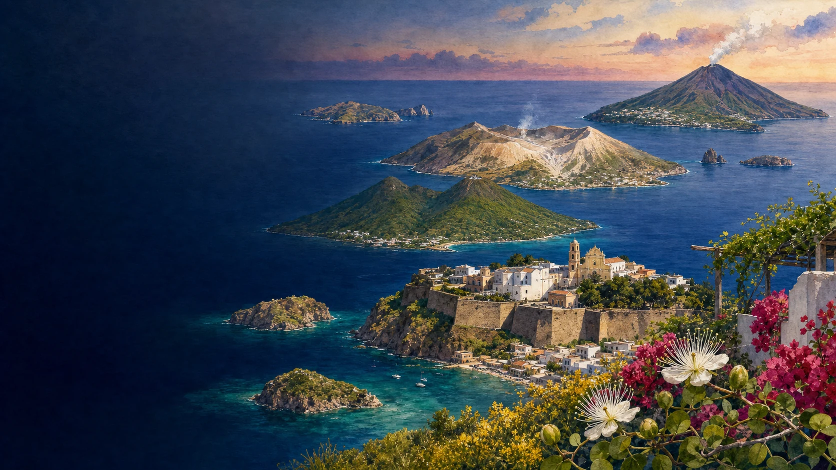
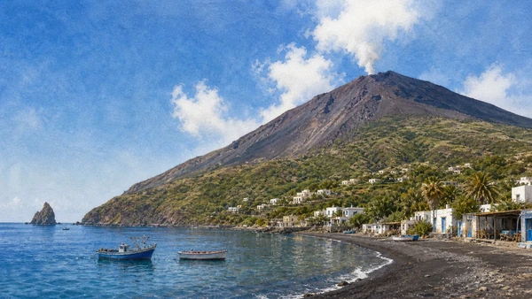
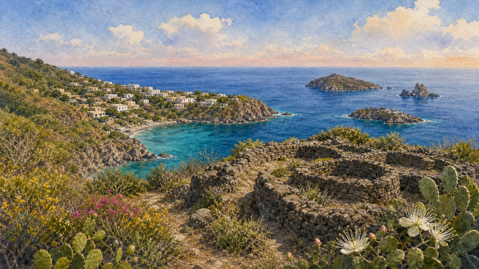
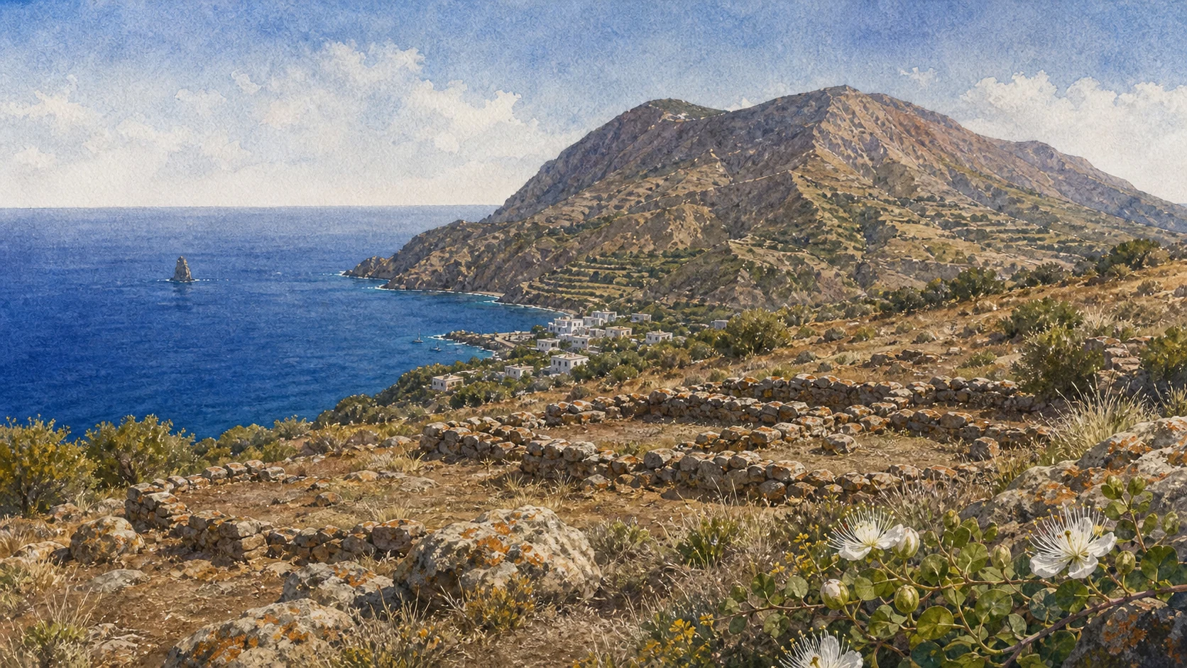
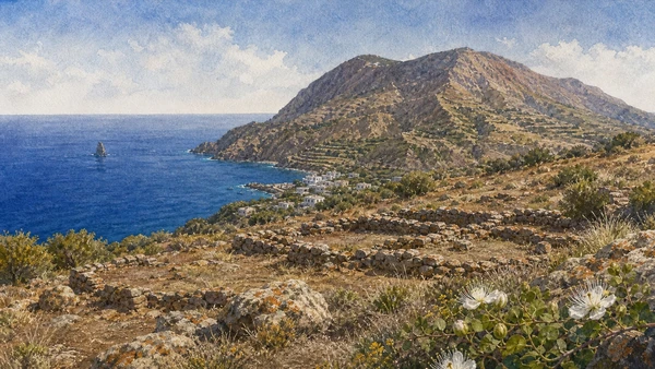
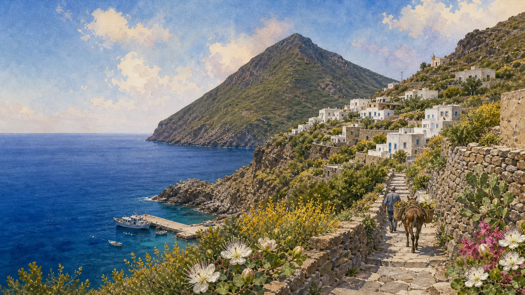
The hero image is an original documentary watercolour atlas, not a photograph or navigational map. Ferry timetables, volcanic alert levels, municipal ordinances, crater routes, museum opening, reserve restrictions, landings and weather can change at short notice; consult the linked official institutions immediately before travelling.