Illustrated guide · Sicily
Between stone,
sulphur and
living ritual
Twenty-two places through which to read an inland capital, its ancient routes, sulphur geology, industrial remains, workers' memory and civic traditions.
Explore the placesThe mine is not a picturesque ruin and the city is not merely its administrative shadow
Caltanissetta is often passed through rather than entered. From the road it can appear as an inland ridge of modern buildings, while the story most often attached to it—sulphur—seems to belong to abandoned shafts outside the centre. Both impressions miss the system that once connected geology, capital, engineering, child labour, railways, churches, schools, palaces and processions.
The city existed long before industrial extraction. Bronze Age tombs survive inside the modern fabric; Sabucina and Gibil Gabib controlled ancient inland routes; the Norman church of Santo Spirito stands beyond the medieval castle quarter; Moncada power shaped streets and institutions. Mining later changed the scale, wealth and inequalities of this older place without replacing it.
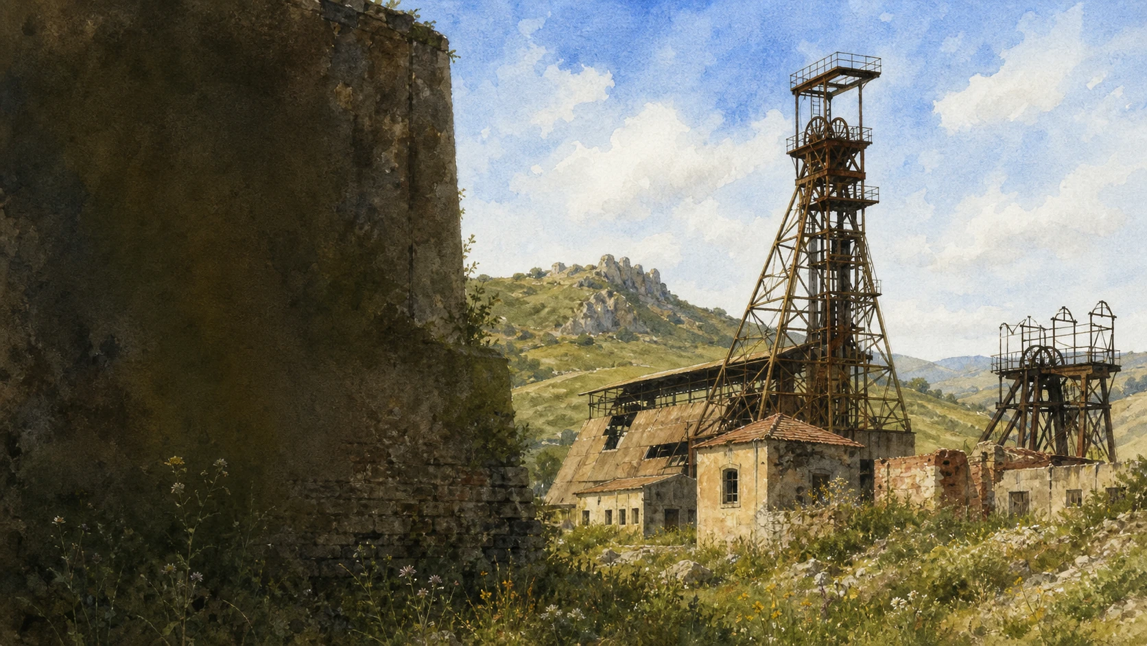
The yellow mineral must be described without romanticising the conditions in which it was won. Headframes, kilns and spoil heaps are evidence of technology and landscape transformation. The Cimitero dei Carusi is evidence of named and unnamed lives. Museums preserve crystals and machines, but memory also moves through the Vare, the Real Maestranza and the streets of Holy Week.
This guide therefore moves repeatedly between centre and territory. It treats closed sites honestly, industrial ruins as unsafe unless officially opened, conflicting casualty figures as a documentary problem, and ritual as living civic work rather than spectacle prepared for the visitor.
One destination
One inland capital, twenty-two places and a landscape formed below the surface.
Caltanissetta stands near the centre of Sicily on high ground above the southern Imera or Salso valley. Corso Umberto I and Corso Vittorio Emanuele organise the representative centre around Piazza Garibaldi, while the older Angeli quarter descends toward Pietrarossa. Santo Spirito, the archaeological museum and the roads toward Sabucina and the mines extend the city into a wider ridge-and-valley system.
The surrounding plateau belongs to Sicily's gypsum-sulphur formation. Evaporitic rock, saline water, clay and sedimentary gas phenomena produced both distinctive landforms and the ore bodies exploited by hundreds of sulphur mines. The landscape is therefore geological before it is industrial, but two centuries of shafts, rail systems, kilns, waste and settlement have become inseparable from its present form.
Official access is uneven. The Interdisciplinary Museum, Palmintelli and Sabucina are currently reported closed for maintenance or safety work; Trabia-Tallarita has published hours; mines such as Trabonella and Gessolungo are reached through organised events or exterior landscape routes rather than casual underground entry. Responsible planning begins with those distinctions.

The selection
Twenty-two places, from the civic crossroads to the abandoned mines
The first ten chapters establish city, medieval quarter, churches and civic institutions. Four recover the archaeological and river landscape. Eight then follow geology, museums, mines, workers' memory and ritual.
- 01Caltanissetta on the Inland Ridge
- 02Piazza Garibaldi, the Triton and San Sebastiano
- 03The Cathedral of Santa Maria la Nova
- 04Sant'Agata al Collegio and the Jesuit Complex
- 05Palazzo Moncada, the Unfinished Palace
- 06San Domenico and the Angeli Quarter
- 07Pietrarossa and Santa Maria degli Angeli
- 08Santo Spirito, the Norman Church Beyond the Centre
- 09Monte San Giuliano and the Monument to the Redeemer
- 10The Diocesan Museum and the Art of the Territory
- 11The Interdisciplinary Museum and the Inland Archaeological Map
- 12Palmintelli, the Bronze Age Inside the Modern City
- 13Sabucina, the Inland Stronghold
- 14Monte Capodarso, the Imera Valley and the Old Bridge
- 15The Gypsum-Sulphur Formation Beneath the Landscape
- 16Terrapelata and the Maccalube
- 17The Mottura Mineralogical, Palaeontological and Sulphur Museum
- 18Trabonella, an Industrial Mining System
- 19Gessolungo, the Mine and the Disaster Landscape
- 20The Cimitero dei Carusi
- 21Trabia-Tallarita, the Regional Mining Museum
- 22Holy Week, the Real Maestranza and Mining Memory
TWO MAIN CORSI, STEEPER OLD QUARTERS AND OPEN HORIZONS REVEAL A CITY BETWEEN CENTRE AND TERRITORY
Caltanissetta on the Inland Ridge
The capital is not one compact Baroque town but a long urban ridge whose older and modern parts face the mineral plateau.

The place today
The representative centre is organised around the crossing of Corso Umberto I and Corso Vittorio Emanuele at Piazza Garibaldi. Churches, banks, public buildings and shops extend along these axes. West and south, the street grain tightens toward San Domenico and the Angeli quarter; east and north, nineteenth- and twentieth-century expansion reaches villas, schools, the Redentore route and newer neighbourhoods. Views across dry hills repeatedly reconnect the streets with the surrounding basin.
The historical chapter
Archaeology shows occupation around the modern city before its medieval formation. The Arabic name commonly rendered Qal'at an-Nisa is traditionally translated as 'castle of the women', but the exact linguistic and historical explanation should not be treated as a single proved foundation story. Norman conquest, feudal rule by Peralta and Moncada families, the end of feudalism and nineteenth-century mining expansion successively changed the scale and institutions of the city.
What to notice
- Walk from the formal corsi into the Angeli quarter and then return by a different route; topography explains the separation between old castle settlement and later centre.
- Use the Arabic place-name tradition with care. It records a medieval linguistic layer, not proof of every legend later attached to the city's women or origins.
A CIVIC CROSSROADS JOINS SCULPTURE, RELIGIOUS FRONTS AND THE DAILY MOVEMENT OF THE CENTRE
Piazza Garibaldi, the Triton and San Sebastiano
The main square is a working junction whose present image was assembled across several centuries.

The place today
Piazza Garibaldi is framed by the cathedral, the strongly coloured façade of San Sebastiano, Palazzo del Carmine and the beginning of the two main corsi. At its centre, Michele Tripisciano's bronze Triton controls a sea horse while two marine creatures close around them. Traffic, gatherings, processions and temporary barriers continually change the space; the fountain is best read from several sides against the opposing churches.
The historical chapter
Tripisciano modelled the sculptural group in 1890, but it reached the present fountain setting only in 1956 with architectural work by Michele Averna. San Sebastiano originated as a response to plague and was repeatedly rebuilt; Pasquale Saetta designed the late nineteenth-century façade with superimposed classical orders. The square therefore combines early-modern devotion, modern civic sculpture and twentieth-century planning.
What to notice
- Do not date the entire fountain to 1890: that is the sculpture's creation date, while the present urban installation dates from 1956.
- During Holy Week and civic events, access and traffic change substantially. Consult current municipal orders before expecting an ordinary square.
BORREMANS' PAINTED HEAVEN RISES ABOVE A CHURCH BUILT WHEN THE CITY MOVED BEYOND ITS OLD CASTLE QUARTER
The Cathedral of Santa Maria la Nova
The cathedral records the transfer of religious gravity from Santa Maria degli Angeli to the expanding early-modern centre.

The place today
The cathedral dominates Piazza Garibaldi with twin towers and a broad façade. Inside, Guglielmo Borremans' illusionistic fresco cycle opens the vault into scenes of the Virgin, religion and Saint Michael's triumph. Chapels, later art and a small museum devoted to the patron Saint Michael extend the visit. The church remains an active liturgical centre and the primary indoor focus of major processions.
The historical chapter
Construction developed from 1570 to 1620 and the church opened in 1622. 'La Nova' distinguished it from Santa Maria degli Angeli, the older mother church near Pietrarossa. Flemish-born Borremans worked in Sicily in the eighteenth century and transformed the interior through painting. Later interventions, wartime damage and restoration added further layers rather than preserving one unchanged seventeenth-century building.
What to notice
- Look upward from more than one point; the trompe-l'oeil changes with the viewer's position and cannot be read as flat ceiling decoration.
- Verify access around Mass, patronal celebrations and Holy Week. A cathedral is not governed by museum hours alone.
BLACK MARBLE, PAINTED VAULTS AND A GREEK-CROSS PLAN TURN THE MAIN CORSO INTO A JESUIT INTERIOR
Sant'Agata al Collegio and the Jesuit Complex
Sant'Agata brings the intellectual and artistic networks of the Jesuit city into one concentrated church.

The place today
The church stands directly on Corso Umberto I. Its Greek-cross plan opens into four side chapels and an interior rich in coloured marble, stucco and painting. Luigi Borremans' eighteenth-century frescoes and Agostino Scilla's 1654 Martyrdom of Saint Agatha, framed in black marble associated with Ignazio Marabitti, connect local patronage with artists working across Sicily. The former college gives the church a larger institutional setting.
The historical chapter
Jesuits began the church between 1600 and 1610 in late-Renaissance forms. Decoration continued after the initial structure, and the order's suppression altered the use of the adjoining college. The building demonstrates how religious education, noble patronage, science and art met in Caltanissetta before industrial wealth changed the city. Scilla's interest in fossils offers a striking intellectual link to the territory's later geological culture.
What to notice
- Do not call every surface Baroque. Plan, seventeenth-century painting, eighteenth-century fresco and later restoration belong to different campaigns.
- Church access can close for worship or custodial reasons; confirm locally and avoid treating the former college as automatically open.
A QUADRANGULAR PALACE OCCUPIES AN ENTIRE BLOCK YET REMAINS THE ARCHITECTURE OF AN INTERRUPTED POLITICAL PROJECT
Palazzo Moncada, the Unfinished Palace
Palazzo Moncada is grand because of its ambition and incomplete because that ambition moved away from Caltanissetta.

The place today
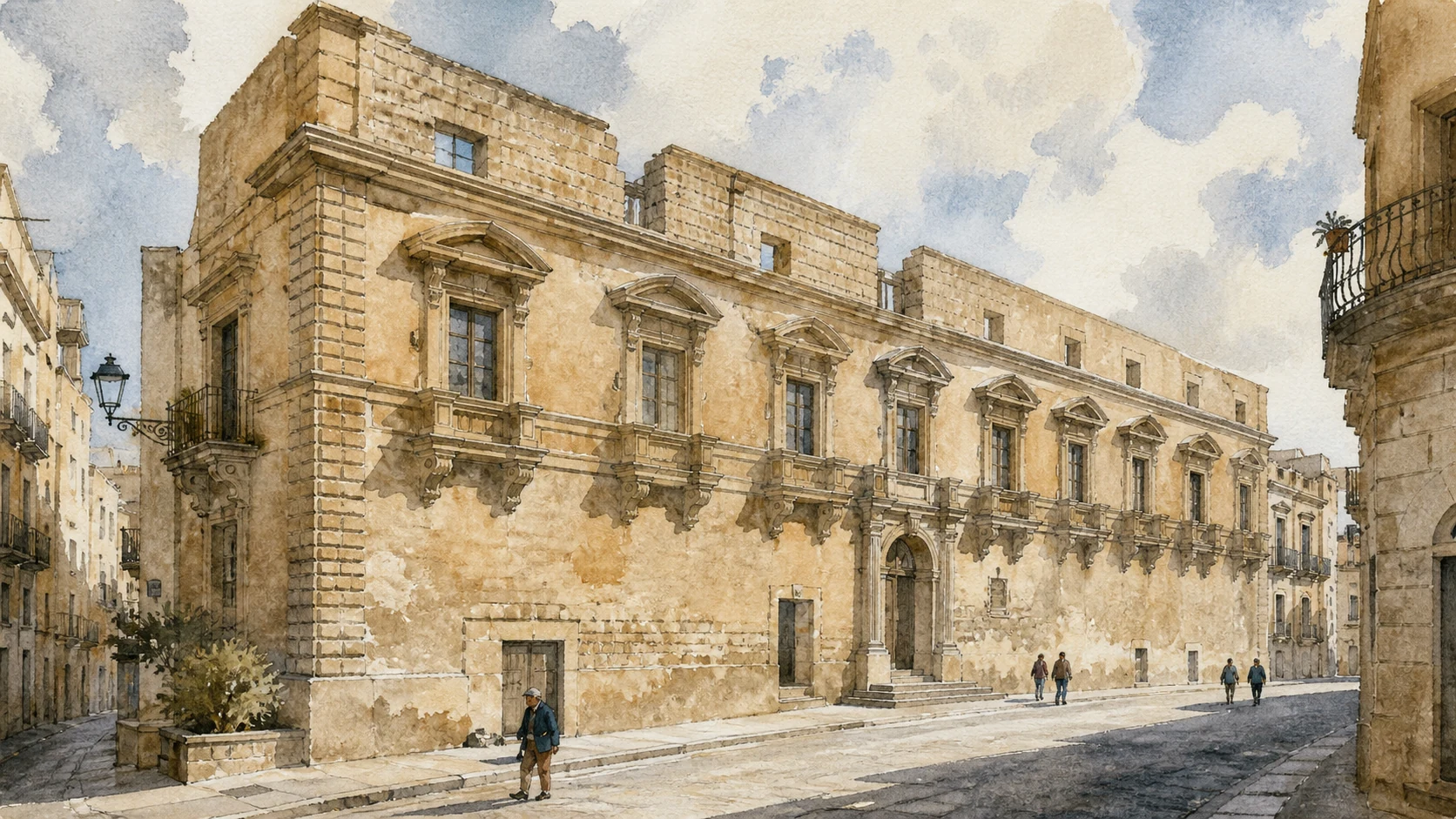
The restored palace presents long stone fronts and a remarkable sequence of anthropomorphic and zoomorphic balcony brackets. Inside are the civic gallery, Tripisciano and Frattallone works, the Lapidarium, temporary exhibitions and a cinema-theatre occupying the former courtyard area. Modern circulation and divided functions can make the original quadrangular scheme difficult to recognise without walking around the whole block.
The historical chapter
Luigi Guglielmo Moncada commissioned the residence in 1650; Carlo d'Aprile designed it and Fra Pietro da Genova supervised work after the first stone was laid in 1651. Moncada's departure from Sicily slowed and then stopped construction. Court and garden-facing sections existed alongside an older residence, while later use as law courts subdivided rooms. Restoration recovered part of the intended spatial scale without completing the seventeenth-century dream.
What to notice
- Read the exterior brackets individually but also follow their continuous rhythm around the block; the bestiary is architectural structure as well as sculpture.
- Current municipal hours apply to the cultural spaces, but cinema, exhibitions and individual galleries may follow separate programmes.

CONCAVE AND CONVEX BAROQUE SURFACES STAND INSIDE THE STREET GRAIN OF THE OLDER CITY
San Domenico and the Angeli Quarter
The district preserves the relation between Moncada patronage, medieval settlement and a later formal church façade.

The place today
Via San Domenico descends into a neighbourhood of narrow lanes, small houses, workshops and irregular open spaces. The church's central convex front and concave lateral curves create movement in a confined street. Interior art and crypt access may be available only during announced openings. The district continues toward Santa Maria degli Angeli, the cemetery and Pietrarossa rather than ending at the church.
The historical chapter
The church originated in the fifteenth century after Antonio Moncada left Dominican religious life in order to inherit his title and compensated the order with a new foundation. Later rebuilding produced the present Baroque façade. The quarter expanded in the shadow of Pietrarossa and is often labelled 'Arab', but its visible fabric records centuries of Christian, feudal and modern occupation over a medieval nucleus.
What to notice
- Use 'Arab quarter' as a historical-tourism shorthand, not as a claim that every visible house or street survives unchanged from Islamic rule.
- Crypt and interior openings are often event-based. The street and façade remain publicly legible even when the church is closed.
CASTLE RUINS AND THE VETERE CHURCH MARK THE POLITICAL AND RELIGIOUS CENTRE THAT PRECEDED THE MODERN PIAZZA
Pietrarossa and Santa Maria degli Angeli
The fragmentary castle must be read with the older mother church and the slope beneath it, not reconstructed as an intact fortress.

The place today
Pietrarossa survives as broken masonry and towers on a rocky rise above the cemetery and Angeli quarter. Nearby Santa Maria degli Angeli, known as the Vetere, retains a single-nave Norman plan and a western pointed portal with layered archivolts. The municipal description reports the church inaccessible during restoration, so exterior observation and the relation between monuments are the reliable current experience.
The historical chapter
The castle controlled the settlement and hosted a meeting in 1358 among powerful Sicilian lords associated with the government of the Four Vicars. An earthquake in 1567 contributed to its ruin. Santa Maria degli Angeli served as mother church before Santa Maria la Nova and was later closed to worship in 1873, when military use transformed it. Castle, church and cemetery subsequently became a landscape of memory at the edge of the expanding city.
What to notice
- Do not climb unstable masonry or enter fenced areas. The castle is an archaeological ruin, not an informal viewpoint with guaranteed safe access.
- Do not reconstruct a complete medieval castle from the surviving towers. Fragmentation and the 1567 damage are part of the site's history.
A SEVERE SINGLE NAVE AND THREE APSES CONNECT NORMAN CHRISTIANISATION WITH EARLIER MATERIAL AND RURAL SETTLEMENT
Santo Spirito, the Norman Church Beyond the Centre
Santo Spirito stands outside the later civic centre and preserves a different scale of medieval Caltanissetta.

The place today
The church has compact masonry, a quadrangular tower, narrow openings, pointed forms and three apses closing a single nave. Inside are a Pantocrator fresco, a Norman-period font with Islamic artistic influence, a rare tin chalice, a Roman funerary urn reused or preserved in the church and later devotional sculpture. The surrounding open ground makes the architecture legible from all sides.
The historical chapter
Official tourism and diocesan sources connect the foundation with Roger the Norman around 1095 and with a pre-existing fortified Arab rural settlement. The building participated in the Christian reorganisation of land beyond the city. Reuse of Roman stone and the survival of Islamic workmanship complicate any simple 'Norman replacement' narrative: conquest reorganised people and institutions while depending on existing material and skills.
What to notice
- Separate the date and purpose of the Norman foundation from the age of individual reused objects; the Roman urn did not originate as church furniture.
- Check parish schedules for interior access. The church's position beside the museum does not make both institutions share the same opening hours.
A BASILE MONUMENT ABOVE THE CITY TURNS GEOGRAPHICAL CENTRALITY INTO A NATIONAL AND RELIGIOUS STATEMENT
Monte San Giuliano and the Monument to the Redeemer
The summit is both panorama and a precisely dated project from the political-religious culture of 1900.

The place today
On the highest point of Monte San Giuliano, the Redeemer stands on a pedestal containing a chapel. The base begins square and becomes circular beneath the statue. The summit opens over Caltanissetta and the central Sicilian hills, while paths, road access and the traditional acchianata connect it to the city below. Visibility varies dramatically with haze, wind and seasonal weather.
The historical chapter
Pope Leo XIII promoted a network of monuments to Christ for Italy's regions at the turn of the twentieth century. Sicily selected this central summit and commissioned Ernesto Basile. The first stone was laid on 13 May 1900; after the assassination of King Umberto I delayed celebration, the monument was inaugurated amid festivities in September. It is modern sacred architecture, not an ancient lookout monument.
What to notice
- Do not promise an all-island panorama; haze, weather and vegetation determine what can actually be seen.
- Separate the 1900 monument from the much older archaeological material found on and around San Giuliano. Shared ground does not mean a shared date.
WORKS RECOVERED FROM CHURCHES TURN A SEMINARY INTO A MAP OF THE DIOCESE
The Diocesan Museum and the Art of the Territory
The collection expands Caltanissetta beyond its cathedral through paintings, textiles, metalwork and modern sacred art.

The place today
The museum occupies the ground floor of the episcopal seminary. Six rooms in the older wing hold sacred art from the fifteenth to eighteenth centuries; newer rooms, a library and temporary spaces extend the story into the nineteenth and twentieth centuries. Highlights include a Sicilian copy of Raphael's Spasimo, works by Luigi Borremans, vestments, silver, jewellery and modern sculpture associated with Tripisciano and others.
The historical chapter
Monsignor Giovanni Speciale founded the museum in 1983, and the first display opened in 1986 with works he recovered from the former Vittorio Emanuele hospital. Later expansion brought together material from churches across the diocese, including buildings closed or vulnerable. The institution therefore records conservation choices and displacement as well as artistic production.
What to notice
- Call the Spasimo a Sicilian copy, not Raphael's original painting, which is not in Caltanissetta.
- The municipal page lists weekday hours but was last updated in 2023; confirm directly with the museum before planning around them.
FIVE SECTORS CONNECT PREHISTORY, INDIGENOUS COMMUNITIES, GREEK EXPANSION AND LATE-ANCIENT TERRITORY
The Interdisciplinary Museum and the Inland Archaeological Map
The museum is the interpretive centre for sites spread across the province, but it is currently closed for extraordinary maintenance.

The place today
The contemporary museum building near Santo Spirito contains finds from Pietrarossa, San Giuliano, Palmintelli, Gibil Gabib, Vassallaggi, Sabucina, Dessueri, Polizzello and Capodarso. Bronze and ceramic objects are organised through five sectors with interpretive and accessible supports. The regional park currently reports temporary closure for extraordinary maintenance of the climate-control system; the collection must not be promised as viewable until an official reopening.
The historical chapter
A civic collection first occupied a small 1930s building in the centre. The current museum, designed by Franco Minissi across the period 1982–1997, opened in 2006 beside the Norman church. Excavations begun especially in the mid-twentieth century created the core of the collection, allowing separate inland sites to be compared rather than forced into one ethnic or colonial story.
What to notice
- The museum is presently reported closed. Check the regional ticket page rather than relying on an older tariff or destination guide.
- Do not label every indigenous object 'Sican' or every Greek-style object as made by colonists. Material exchange and political control are more complex.
ROCK-CUT TOMBS SURVIVE BESIDE THE COURTHOUSE AND STADIUM, INTERRUPTING ANY SIMPLE HISTORY OF URBAN EXPANSION
Palmintelli, the Bronze Age Inside the Modern City
Palmintelli is an archaeological hill enclosed by twentieth-century Caltanissetta rather than a remote ancient park.

The place today
The limestone rise lies close to Viale della Regione, the stadium and Palazzo di Giustizia. Artificial rock-cut chambers survive within a small protected area. Objects from the site are held by the archaeological museum, so the physical remains and collections are currently separated. The regional park reports Palmintelli temporarily closed for maintenance and safety work even though cultural events have occasionally activated the area.
The historical chapter
The chambers originated as funerary spaces in the Bronze Age and were reused for burial during the Greek colonial period. Indigenous geometric ceramics found in later assemblages show that reuse did not erase local material traditions. Modern construction reduced and surrounded the hill, turning the surviving area into evidence of both ancient practice and twentieth-century urban pressure.
What to notice
- Observe only from authorised public edges while the park is closed; an urban location does not remove archaeological safety restrictions.
- Reuse across periods means that a tomb's construction date and the date of objects found within it may differ by many centuries.
A HIGH SITE ABOVE THE SALSO RECORDS TWO MILLENNIA OF SETTLEMENT, CONFLICT AND CONTROL OF MOVEMENT
Sabucina, the Inland Stronghold
Sabucina is not simply a Greek town: Bronze Age villages, indigenous settlement and later fortification occupy the same mountain.

The place today
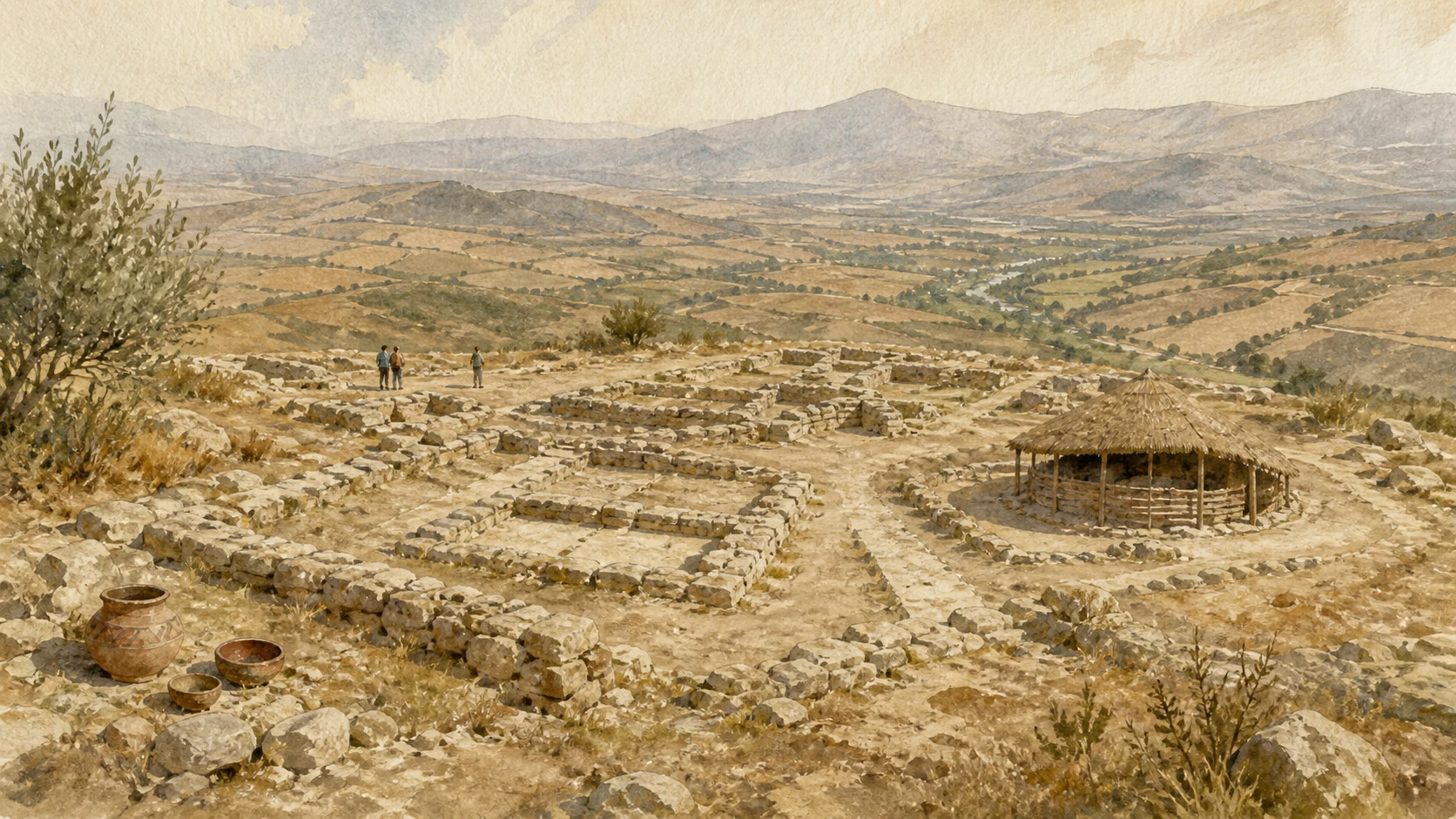
Sabucina rises to about 720 metres roughly ten kilometres north-east of Caltanissetta. Its position narrows the Salso valley in dialogue with Capodarso. Excavated houses, cult areas, fortifications and an antiquarium normally structure the route, but the official regional page currently reports temporary closure for maintenance and safety work. The exposed mountain setting also demands appropriate weather and transport planning when access resumes.
The historical chapter
Settlement begins with Castelluccian communities in the early Bronze Age, followed by Pantalica North and Cassibile phases, rectangular houses and cult areas in the early first millennium BC. In the sixth century BC the site was drawn into Gelan expansion and fortified; it was violently destroyed around the mid-fifth century in conflict associated with Ducetius, rebuilt in the fourth century and abandoned after about 310 BC. Roman farms later occupied the plain below.
What to notice
- The site is currently closed. Do not climb around barriers or use unofficial tracks to bypass regional safety work.
- Avoid calling every phase Greek. Sabucina's importance lies precisely in the long indigenous history before and during colonial interaction.
RIVER NARROWS, GYPSUM-SULPHUR HILLS AND A MONCADA BRIDGE CONNECT ANCIENT CONTROL WITH INDUSTRIAL TRANSPORT
Monte Capodarso, the Imera Valley and the Old Bridge
The protected valley is simultaneously natural corridor, archaeological landscape and route of sulphur movement.

The place today
The reserve follows the southern Imera or Salso through meanders, saline pools, broad river gravels and amber calcarenite relief. Monte Capodarso faces Sabucina across the narrowed valley; cavities and the Grotta delle Meraviglie belong to its karst system. A great surviving bridge arch recalls the route improved under the Moncada. Mine remains at Trabonella, Giumentaro and Giumentarello occupy the same protected landscape.
The historical chapter
The valley carried movement between inland Sicily and the south coast long before mining. The Moncada promoted a bridge in 1553, later remembered as part of the infrastructure facilitating grain and eventually sulphur transport. Nineteenth- and twentieth-century extraction intensified roads, rail links and waste. Nature-reserve status now protects habitats and geology without erasing the industrial layer.
What to notice
- Use official reserve routes or guided events. River level, clay, heat and unstable industrial remains make cross-country shortcuts unsafe.
- Do not photograph the valley as untouched wilderness. Bridges, mines, agriculture and conservation management are visible parts of its history.

EVAPORATION, SEDIMENT, WATER AND DEEP TIME PRECEDE EVERY SHAFT, KILN AND LABOUR CONTRACT
The Gypsum-Sulphur Formation Beneath the Landscape
The mines existed because a late-Miocene geological system concentrated sulphur within gypsum-bearing strata.

The place today
Pale gypsum, clay slopes, saline drainage, sink features and oxidised sulphur traces appear throughout the basin. At old workings, disturbed ground, waste rock and altered drainage can obscure natural exposures. Museum specimens reveal crystal forms that the landscape itself rarely presents as clean yellow masses. Geosite registers recognise the scientific value of Trabonella, Gessolungo, the Imera canyon and other features.
The historical chapter
During the Messinian salinity crisis, restricted Mediterranean basins accumulated evaporitic sediments. Later chemical and biological processes contributed to native sulphur deposits within the gypsum-sulphur formation. Miners followed ore bodies rather than uniform horizontal seams, which demanded shafts, galleries, drainage and ventilation. Geological opportunity did not determine the social system, but it established the physical constraints within which that system operated.
What to notice
- Do not collect minerals from protected geosites, spoil heaps or mine property. Scientific specimens and apparently loose crystals may be regulated or unsafe.
- Pure yellow sulphur is not spread across the surface as a continuous scenic layer; hero images and descriptions must preserve the real grey, white and ochre geology.
MUD, WATER AND GAS CREATE A DYNAMIC SEDIMENTARY PHENOMENON THAT MUST BE OBSERVED THROUGH SAFETY, NOT SPECTACLE
Terrapelata and the Maccalube
The small cones and emissions are expressions of subsurface pressure, not miniature volcanic entertainment.

The place today
The Terrapelata area contains maccalube—mud and gas emissions associated with sedimentary processes. Shape, wetness and activity change, and paroxysmal episodes are possible. Regional and municipal documents describe safety interventions and scientific monitoring. The area should therefore be treated as a monitored geosite, not as a freely accessible attraction or a place to approach active vents.
The historical chapter
The phenomenon belongs to the sedimentary geology of central Sicily and has long attracted local observation, scientific study and misleading comparison with magmatic volcanoes. Urban and infrastructure development increased the importance of risk assessment. Monitoring by geological researchers and public authorities turns the site into an example of how scientific heritage and civil protection must coexist.
What to notice
- Do not enter fenced or restricted ground and never stand over an active vent. Conditions can change without the visual warning expected from a mountain volcano.
- Call the phenomenon sedimentary mud volcanism, not an Etna-like eruption. Gas and mud processes require their own explanation.
CRYSTALS, FOSSILS, MAPS AND MACHINES CONNECT A TECHNICAL SCHOOL WITH THE MINING BASIN IT SERVED
The Mottura Mineralogical, Palaeontological and Sulphur Museum
The museum is both a scientific collection and evidence of the education created for industrial extraction.

The place today
The purpose-built museum beside the former mining school displays gypsum-sulphur minerals, rocks, fossils, historic instruments, extraction headframes, wagons, Gill furnaces, geological maps and a sectional mine model. The collection allows visitors to distinguish crystal, ore, gangue and processed material before encountering industrial ruins. The municipal page lists free admission from Monday to Saturday mornings, with Sunday access by request, but direct confirmation remains prudent.
The historical chapter
Engineer Sebastiano Mottura founded the mining school in 1862 and assembled specimens for teaching. Exchange among mines and donations from directors who had trained at the institute enlarged the laboratory collection. It became a formal museum and moved in 2012 to a dedicated building inaugurated for the school's 150th anniversary. Education improved technical capacity while serving an extractive economy whose labour relations remained deeply unequal.
What to notice
- Begin the mining itinerary here when possible; tools and sectional models make exterior structures much easier to understand.
- Opening data on the municipal page were last updated in 2023. Telephone the museum before relying on an ordinary Saturday or requested Sunday visit.
SHAFTS, POWER, FLOTATION AND TRANSPORT SHOW HOW A ZOLFARA BECAME A MECHANISED COMPLEX
Trabonella, an Industrial Mining System
Trabonella preserves the scale of industrial organisation better than any romantic image of a solitary mine entrance.

The place today
Mine structures and disturbed ground lie within the wider Capodarso-Imera landscape. Surviving buildings, extraction features and routes are visible through organised geo-naturalist visits and national mining days, not through guaranteed daily opening or underground access. Vegetation and decay can hide shafts, unstable floors and contaminated or waterlogged zones. The site is also recorded as a nationally significant mining geosite.
The historical chapter
Trabonella developed as one of the important nisseno mines. Under the Luzzatti company it received an autonomous electrical generating unit in 1901. A flotation plant constructed in 1957 used chemical-physical separation to purify sulphur from limestone gangue. These innovations reduced some forms of manual handling and increased processing capacity but did not erase danger, hierarchy or environmental impact.
What to notice
- Enter only as part of an authorised event or guided route. An abandoned industrial complex contains hidden shafts and structures not made safe for casual tourism.
- Do not equate mechanisation with humane labour conditions. Technology changed tasks and output while exploitation and risk persisted.
EARLY SURFACE WORKINGS, DEEP SHAFTS, LATER MACHINERY AND A MASS DEATH OCCUPY THE SAME HILLSIDE
Gessolungo, the Mine and the Disaster Landscape
Gessolungo must be read as geology, industrial plant and site of mourning rather than one picturesque ruin.

The place today
Oxidised sulphur traces, openings attributed to early workings, later extraction structures and altered ground survive around the former mine. A 1960s system of steel headframe, conveyors, skips and silos once represented late mechanisation. The site does not have the published regular museum hours of Trabia-Tallarita; exterior and memorial visits require safe routes and current local guidance.
The historical chapter
Mining on the Gessolungo group is documented from at least the eighteenth century. On 12 November 1881 an explosion in the Calafato section killed miners and carusi. Current municipal memorial records and the regional museum naming decree give 65 dead, including 19 boys; an older regional landscape-planning document states 81. This guide follows the current named memorial account while preserving the discrepancy as a warning about incomplete and changing records.
What to notice
- Do not use the mine as an adventure setting or enter openings. The ground contains both industrial hazards and funerary memory.
- Casualty totals conflict across institutional documents. Cite the source and date when giving a number instead of presenting historical counting as settled.

SMALL WHITE CROSSES AND AN EMPTY NAME RECORD THE CHILDREN WITHIN THE INDUSTRIAL STATISTICS
The Cimitero dei Carusi
The cemetery is a place of burial and civic responsibility, not a decorative appendix to a mine visit.

The place today
The memorial beside the Gessolungo landscape contains small white crosses, a recovered wagon and Lorenzo Lomonaco's stone figure of a caruso carrying sulphur. The municipality now names it for the victims of the disaster, the unnamed carusi and engineer Mario Zurli, whose work helped rediscover and protect the neglected burial ground. The site is publicly accessible but demands the conduct appropriate to a cemetery.
The historical chapter
The municipal account records 65 deaths on 12 November 1881, nineteen of them boys aged eight to sixteen; some remained unnamed on the memorial. Their labour involved moving mineral underground under coercive debt and apprenticeship relations. In the following decades, survivors' devotion helped commission Passion groups by Francesco and Vincenzo Biangardi, connecting the mine disaster with the Vare that still move through the city.
What to notice
- Use the word caruso historically and explain the labour system; it is not a picturesque synonym for any young Sicilian miner.
- Keep voices low, avoid staged portraits on graves and do not move memorial objects. This is a burial site before it is an itinerary stop.
A VILLAGE, SHAFTS AND PROCESSING PLANT MAKE THE MOST COMPLETE PUBLIC INTRODUCTION TO THE SULPHUR SYSTEM
Trabia-Tallarita, the Regional Mining Museum
Although outside the municipal centre, Trabia-Tallarita is essential for understanding the regional scale of Caltanissetta's mining civilisation.

The place today
The complex lies between Riesi and Sommatino on both sides of the Salso. Museum displays, extraction structures and the industrial landscape interpret geology, underground work, processing and community life. The regional park publishes regular hours split between afternoon and morning days. Access remains to designated museum areas; surviving industrial structures beyond the route are not an invitation to independent exploration.
The historical chapter
At its early twentieth-century peak the complex produced a significant share of global sulphur—official regional interpretation states twelve per cent around 1920—and employed about 3,000 miners. A village developed with housing, post office, chapel and carabinieri station. The Region acquired the site between 2000 and 2003, converting part of an extractive landscape into a museum whose subject includes families and settlement as well as machinery.
What to notice
- Allow a separate half-day and verify the regional schedule; the complex is not in central Caltanissetta and public transport is limited.
- Use the museum to compare daily life, labour and technology. Production percentages alone can reproduce the industry's triumphalist language.
CRAFT CATEGORIES, PASSION GROUPS AND THE BLACK CHRIST TURN THE STREETS INTO A LIVING CIVIC ARCHIVE
Holy Week, the Real Maestranza and Mining Memory
Caltanissetta's Holy Week is a sequence of distinct rites whose objects and routes connect craft, devotion and the mining city.

The place today
The week includes the Real Maestranza, Varicedde, large Passion groups known as the Vare, sacred representations and the Good Friday procession of the Black Christ. Each has its own organisers, sound, pace and route. Streets, parking and pedestrian circulation change through formal municipal orders. The events are neither one parade nor a permanent attraction; their meaning depends on preparation, liturgy and local participation.
The historical chapter
The Real Maestranza traces its civic-artisan institution to 1551 and evolved after craftsmen lost military arms in 1848. The large Vare were produced especially by the Biangardi artists in the late nineteenth century; municipal memory connects some commissions with survivors of Gessolungo. Mining wealth, grief, craft skill and confraternal devotion consequently entered the same public ritual without making every group a literal mine memorial.
What to notice
- Consult the current municipal calendar and traffic orders. Dates follow Easter and routes or staging details can change each year.
- Observe as a guest within worship and civic participation: avoid flash, blocking bearers, entering processional space or reducing the Black Christ and Vare to folklore.
The city through time
Ten passages through settlement, feudal power, sulphur and workers' memory
The chronology connects the ancient inland landscape with the medieval city and industrial basin without making mining the beginning of Caltanissetta's history.
Palmintelli, Sabucina and nearby sites record burial, villages and changing indigenous communities across the hills and Salso valley.
Inland centres encounter expansion from Gela and Akragas; Sabucina and Gibil Gabib are fortified, destroyed, rebuilt and eventually abandoned or dispersed into rural settlement.
An Islamic-period fortified settlement contributes the name and medieval nucleus later reorganised after Norman conquest.
Santo Spirito, Pietrarossa, Santa Maria degli Angeli and later San Domenico anchor rural Christianisation, castle government and the older urban quarter.
The Real Maestranza emerges, Santa Maria la Nova and Sant'Agata reshape the expanding centre, and the Moncada begin their unfinished palace.
Early sulphur workings expand while Borremans decoration, feudal administration and then the abolition of feudalism transform institutions and patronage.
European demand drives industrial sulphur extraction, rail and technical education; dangerous manual labour and the caruso system culminate in repeated disasters, including Gessolungo.
Mourning, labour organisation, mechanisation and urban wealth grow together; the Vare, Mottura school, Redentore and major mining villages express different sides of the era.
Flotation, electricity and mechanical haulage modernise production, but competition and policy lead to progressive closure of Sicily's sulphur mines.
Museums, protected landscapes, geosite registers, memorial recovery and ritual heritage reinterpret the post-mining territory while safety, maintenance and environmental work remain incomplete.
Before your visit
Practical information,
without turning it into promises
Give the city a full day and the mining landscape a separate day
Piazza Garibaldi, churches, Palazzo Moncada, Angeli quarter, museums and Redentore cannot be combined responsibly with Capodarso, Gessolungo, Trabonella or Trabia-Tallarita in one hurried circuit.
Treat industrial sites as controlled environments
Use authorised guided events and museum routes. Abandoned shafts, contaminated water, unstable buildings, spoil heaps and unprotected edges make casual exploration unsafe.
Check every archaeological and museum opening individually
The Interdisciplinary Museum, Palmintelli and Sabucina are currently reported closed; Mottura data need direct confirmation; Trabia-Tallarita publishes a current schedule. Conditions do not transfer from one institution to another.
Plan Holy Week as participation in a living city
Book early, use the current calendar, expect road and pedestrian restrictions and preserve processional space. The rites are not a substitute for visiting mines or museums, but another archive of civic history.
Sources
This guide cross-checks the Municipality of Caltanissetta, the Sicilian Region's archaeological park, environmental and geosite records, the Diocese, Visit Sicily, the Italian Ministry of Culture and ISPRA's mining-museum network. It distinguishes medieval place-name tradition from proven foundation, ancient indigenous settlement from colonial labels, geology from industrial alteration, technological innovation from labour welfare, public museum routes from abandoned structures, published hours from current closures and current memorial counts from conflicting older institutional totals.
- Municipality of Caltanissetta · City history and historic places ↗
- Visit Sicily · Official Caltanissetta destination guide ↗
- Sicilian Regional Park · Current museum and archaeological-site access ↗
- Sicilian Regional Park · Sabucina archaeological sequence ↗
- Sicilian Region · Local landscape plan for the nisseno mining basin ↗
- Municipality of Caltanissetta · Cimitero dei Carusi and Gessolungo memory ↗
- Sicilian Regional Park · Trabia-Tallarita mining museum ↗
- ISPRA ReMi · Cultural route through Sicily's sulphur mines ↗
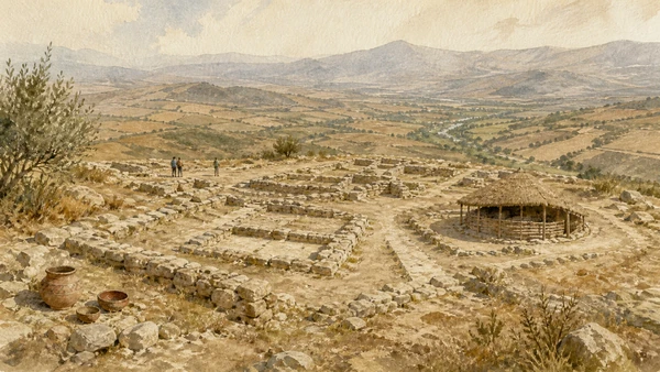
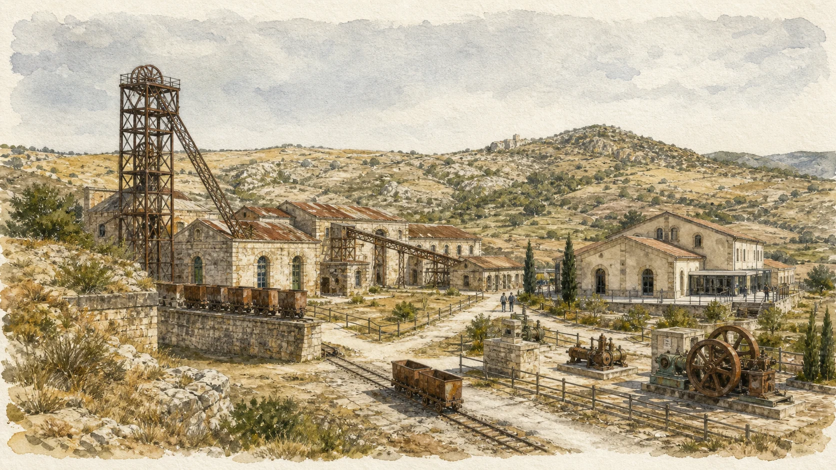
The hero image is an illustration, not a photograph. Institutional reference photographs remain archived locally for visual verification. Mine safety, contamination controls, reserve paths, archaeological closures, museum maintenance, church access, festival dates, procession routes and traffic orders can change; consult the linked official pages and enter industrial sites only through authorised visits.