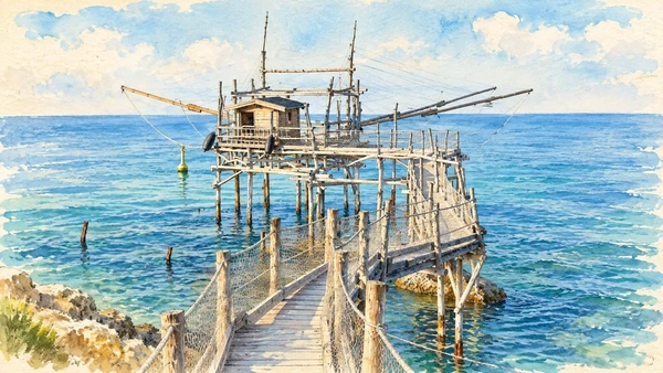
Watercolour: The timber walkway, platform and long fishing arms of Trabocco Turchino.

Abruzzo · Guide 08

Costa dei
Trabocchi

Fishing platforms, abbeys, railway reuse, coastal reserves and the memory of war connect the shore between Ortona and Vasto.

Plan the route
Costa dei Trabocchi10 chapters · history, culture and landscape

Why this place matters

A working coast with more than one history.

The trabocchi are the coast’s most recognisable structures, but they are only one part of its story. Hill settlements, cultivated land, an abbey overlooking the sea and the former railway corridor explain how people used this shore. Ortona also requires attention to the destruction and human cost of 1943. The guide follows a north-to-south editorial sequence, not a promise of one uninterrupted ride or a single day’s tour.

The guide separates documented history from suggestions for reading the site. Named buildings and landscape relationships follow institutional sources; the illustrations are editorial interpretations, not measured surveys or records of current access.

Fishing platforms, abbeys, railway reuse, coastal reserves and the memory of war connect the shore between Ortona and Vasto.
The route

Plan your visit

Choose a northern day around Ortona and San Vito, a central stage around Fossacesia and Torino di Sangro, and a southern day for Punta Aderci and Vasto. Check the exact open section of the Via Verde and plan transport for the return.

Northern stage

Ortona and San Vito

Choose a northern day around Ortona and San Vito, a central stage around Fossacesia and Torino di Sangro, and a southern day for Punta Aderci and Vasto.

Coastal work

Turchino and Rocca San Giovanni

Central stage

San Giovanni in Venere and the Lecceta

Southern stage

Punta Aderci and Vasto

Ten chapters

Explore the places

The chapters connect history and terrain. Mountain areas and outlying towns are separate options, not a single continuous walking route.

  1. 01Ortona’s Aragonese Castle
  2. 02Ortona and the 1943 battle
  3. 03San Vito Chietino
  4. 04Trabocco Turchino
  5. 05Rocca San Giovanni
  6. 06San Giovanni in Venere
  7. 07Via Verde: a railway corridor reused
  8. 08Lecceta di Torino di Sangro
  9. 09Punta Aderci
  10. 10Vasto and Palazzo d’Avalos
01

The inhabited landscape

Ortona’s Aragonese Castle

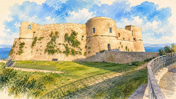
The surviving fortress occupies a commanding coastal position. Read it as a damaged and conserved structure, not as a complete medieval residence.

Today

This remains an inhabited place. Use pedestrian routes, keep entrances clear and check municipal mobility notices for any restricted area.

History

The fifteenth-century castle suffered severe damage in 1943 and a further collapse in 1946. Later conservation made the surviving fabric legible again.

How to read this place

Compare the rounded defensive towers with the missing portions of the enclosure. The sea-facing setting explains strategic position but should not overshadow the building’s later history.

What to notice

  • Compare the rounded defensive towers with the missing portions of the enclosure.
  • The relationship between the site and its surrounding route.
  • The distinction between surviving evidence and modern interpretation.
Italia.it · Ortona Aragonese Castle
Watercolour: Ortona’s Aragonese Castle with massive round bastions beside the Adriatic.
Ortona’s Aragonese CastleEditorial watercolour · AI-generated · 2026
02

The inhabited landscape

Ortona and the 1943 battle

The present streets are also places where civilians and soldiers experienced destructive urban fighting. Historical interpretation should accompany the attractive coastal outlook.

Today

This remains an inhabited place. Use pedestrian routes, keep entrances clear and check municipal mobility notices for any restricted area.

History

Canadian and German forces fought in Ortona from 20 to 28 December 1943. Close fighting and widespread destruction shaped the later city.

How to read this place

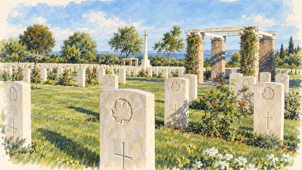
Read memorials and museum accounts with attention to both military events and civilian lives. The illustration shows the Moro River Canadian War Cemetery near Ortona, a separate place of remembrance outside the central street route. It is not a reconstruction of a wartime scene.

What to notice

  • Read memorials and museum accounts with attention to both military events and civilian lives.
  • The relationship between the site and its surrounding route.
  • The distinction between surviving evidence and modern interpretation.
Veterans Affairs Canada · Battle of Ortona
Watercolour: Rows of headstones at the Moro River Canadian War Cemetery near Ortona.
Ortona and the 1943 battleEditorial watercolour · AI-generated · 2026
03

The inhabited landscape

San Vito Chietino

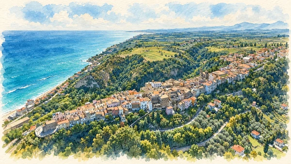
The upper settlement and marina offer different readings of the coast. Allow for the change in level rather than treating them as one flat seafront walk.

Today

This remains an inhabited place. Use pedestrian routes, keep entrances clear and check municipal mobility notices for any restricted area.

History

The town’s relationship with the Adriatic includes fishing, movement and the later visitor economy. Its coastal structures belong to this working landscape.

How to read this place

Compare the view from above with the practical spaces at water level. Confirm the route between them and avoid assuming that every access road has a continuous pedestrian verge.

What to notice

  • Compare the view from above with the practical spaces at water level.
  • The relationship between the site and its surrounding route.
  • The distinction between surviving evidence and modern interpretation.
Italia.it · Costa dei Trabocchi
Watercolour: The ridge-top settlement of San Vito Chietino above the Adriatic shore.
San Vito ChietinoEditorial watercolour · AI-generated · 2026
04

The inhabited landscape

Trabocco Turchino

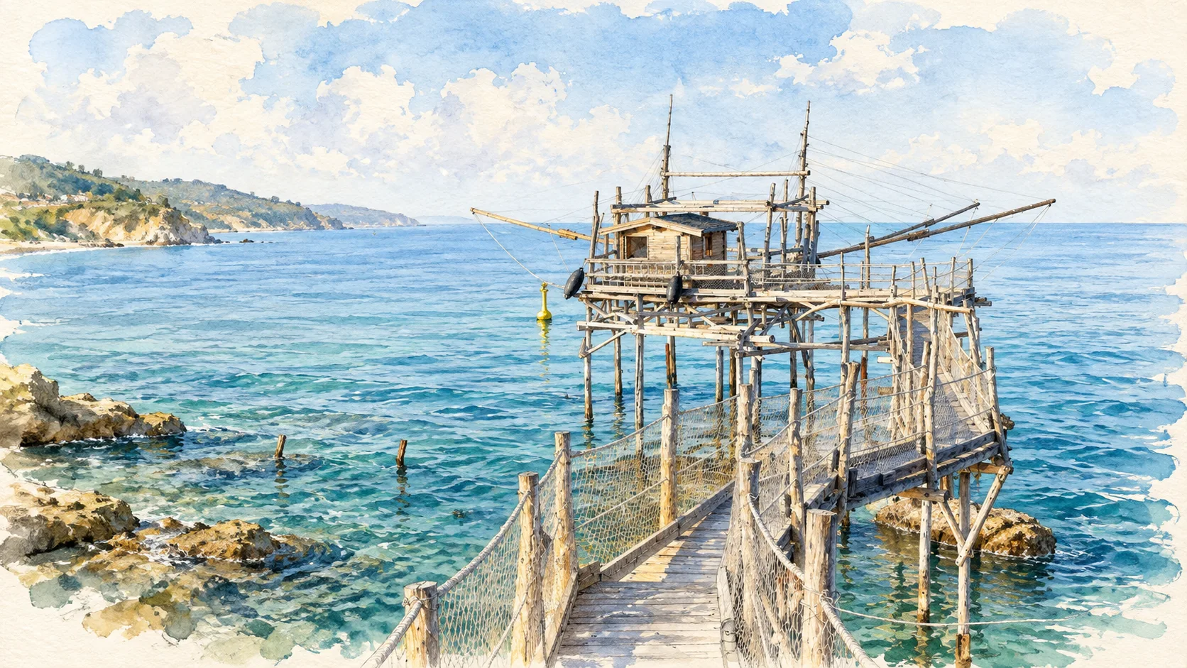
The timber platform is best understood as a fishing machine adapted to the shore. Its thin members and network of ropes differ from the solid architecture of nearby towns.

Today

This remains an inhabited place. Use pedestrian routes, keep entrances clear and check municipal mobility notices for any restricted area.

History

Trabocchi use shore-connected platforms and suspended nets. Their cultural importance does not justify presenting unverified ancient origin stories as established history.

How to read this place

Look at how the platform, projecting arms and net relate to water and rock. Entry depends on the owner or managing operator; a visible walkway is not an invitation to enter.

What to notice

  • Look at how the platform, projecting arms and net relate to water and rock.
  • The relationship between the site and its surrounding route.
  • The distinction between surviving evidence and modern interpretation.
Italia.it · Costa dei Trabocchi
Watercolour: The timber walkway, platform and long fishing arms of Trabocco Turchino.
Trabocco TurchinoEditorial watercolour · AI-generated · 2026
05

The inhabited landscape

Rocca San Giovanni

The hill settlement offers a pause away from the immediate shoreline. Its position helps connect the coastal structures with the cultivated land behind them.

Today

This remains an inhabited place. Use pedestrian routes, keep entrances clear and check municipal mobility notices for any restricted area.

History

The surrounding coast includes several named trabocchi. Village and shore are related parts of a territory rather than one continuous waterfront settlement.

How to read this place

Read the transition from town to fields and sea. Use the correct name and access point for an individual trabocco instead of treating all platforms as interchangeable attractions.

What to notice

  • Read the transition from town to fields and sea.
  • The relationship between the site and its surrounding route.
  • The distinction between surviving evidence and modern interpretation.
Italia.it · Costa dei Trabocchi
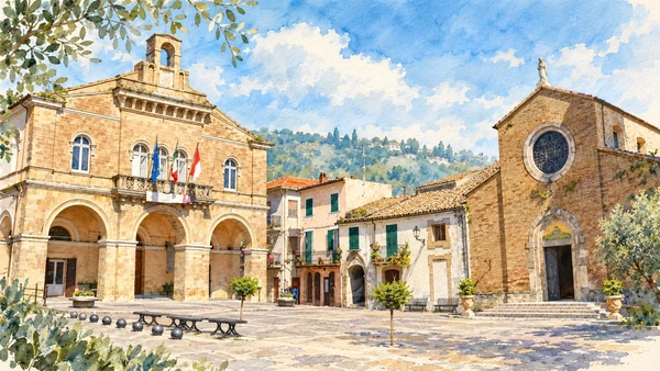
Watercolour: The town hall and church facing the main square of Rocca San Giovanni.
Rocca San GiovanniEditorial watercolour · AI-generated · 2026
06

Worship and memory

San Giovanni in Venere

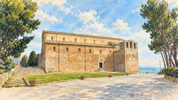
The abbey’s promontory setting connects religious architecture with fields and a long coastal outlook. The exterior, interior and surrounding paths offer different scales of attention.

Today

Worship and local religious life continue here. Visitor access may pause for services; consult the church or managing institution before planning an interior visit.

History

A monastic presence is documented before the medieval abbey’s expansion. The Ministry’s record treats an earlier temple of Venus as a possibility, not an archaeologically surviving building.

How to read this place

Keep a place-name hypothesis separate from visible evidence. Compare the portals and apses, and respect worship when planning an interior visit.

What to notice

  • Keep a place-name hypothesis separate from visible evidence.
  • The relationship between the site and its surrounding route.
  • The distinction between surviving evidence and modern interpretation.
Ministry of Culture · San Giovanni in Venere
Watercolour: The long stone side of San Giovanni in Venere above the coast.
San Giovanni in VenereEditorial watercolour · AI-generated · 2026
07

Terrain and access

Via Verde: a railway corridor reused

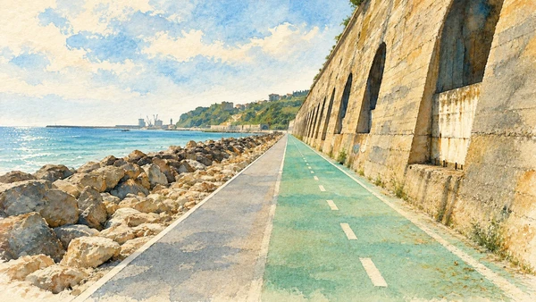
The coastal route changes the experience of moving between places. It also makes former transport infrastructure part of a slower contemporary journey.

Today

Conditions depend on the exact route and the day. Check the responsible operator, weather and local access notices; a viewpoint is not the same undertaking as a mountain traverse.

History

The project reuses sections of the former Adriatic railway corridor for walking and cycling. Its continuity and access depend on the specific section and current works.

How to read this place

Choose an exact outward and return route. Do not assume that the whole coast is one open, traffic-free and step-free itinerary because one completed stretch is comfortable.

What to notice

  • Choose an exact outward and return route.
  • The relationship between the site and its surrounding route.
  • The distinction between surviving evidence and modern interpretation.
Comune di San Vito Chietino · cycle network
Watercolour: A Via Verde section between coastal rocks and the former railway retaining wall.
Via Verde: a railway corridor reusedEditorial watercolour · AI-generated · 2026
08

Terrain and access

Lecceta di Torino di Sangro

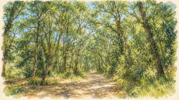
The woodland offers a quieter encounter than the exposed shore. Paths through living habitat ask for a different pace and behaviour from a promenade.

Today

Conditions depend on the exact route and the day. Check the responsible operator, weather and local access notices; a viewpoint is not the same undertaking as a mountain traverse.

History

The regional reserve was established in 2001 south of the Sangro mouth. It protects a coastal woodland landscape within the wider Trabocchi territory.

How to read this place

Follow the reserve’s open routes and keep to the path. Dense shade, roots and seasonal conditions mean that proximity to the sea does not make every walk a beach stroll.

What to notice

  • Follow the reserve’s open routes and keep to the path.
  • The relationship between the site and its surrounding route.
  • The distinction between surviving evidence and modern interpretation.
Visit Torino di Sangro · Lecceta reserve
Watercolour: A shaded woodland path in the Lecceta di Torino di Sangro.
Lecceta di Torino di SangroEditorial watercolour · AI-generated · 2026
09

Terrain and access

Punta Aderci

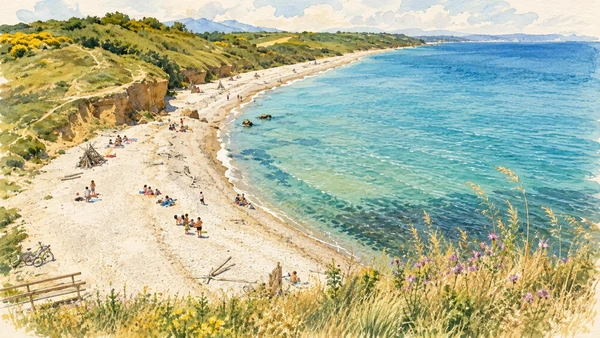
The headland and adjacent shore provide a broad view of the coast’s natural forms. Use the reserve’s designated approaches rather than cutting new paths across vegetation.

Today

Conditions depend on the exact route and the day. Check the responsible operator, weather and local access notices; a viewpoint is not the same undertaking as a mountain traverse.

History

Punta Aderci is a regional nature reserve with coastal habitats, paths and managed visitor access. Its landscape includes both the promontory and nearby shore.

How to read this place

Read the difference between a viewpoint path and a beach approach. Check current notices, keep off fragile vegetation and do not infer safe water conditions from a calm illustration.

What to notice

  • Read the difference between a viewpoint path and a beach approach.
  • The relationship between the site and its surrounding route.
  • The distinction between surviving evidence and modern interpretation.
Punta Aderci regional nature reserve
Watercolour: A pebble cove and grassy coastal slopes in the Punta Aderci reserve.
Punta AderciEditorial watercolour · AI-generated · 2026
10

Evidence and interpretation

Vasto and Palazzo d’Avalos

The palace and civic collections make Vasto a cultural destination beyond its beaches. Give museum time a place in the plan rather than using the town only as a final panorama.

Today

Check the institution’s current opening, booking arrangements and accessible route. Individual rooms, exhibitions and approaches may have separate conditions.

History

Palazzo d’Avalos houses civic museums that include archaeological and artistic collections. The setting connects the later town with the history of ancient Histonium.

How to read this place

Distinguish the collections, palace fabric and gardens as separate parts of the visit. Check which sections are open and allow time for the town’s streets outside the museum.

What to notice

  • Distinguish the collections, palace fabric and gardens as separate parts of the visit.
  • The relationship between the site and its surrounding route.
  • The distinction between surviving evidence and modern interpretation.
Vasto Civic Museums · Palazzo d’Avalos
Watercolour: Palazzo d’Avalos facing its square in Vasto.
Vasto and Palazzo d’AvalosEditorial watercolour · AI-generated · 2026

The territory through time

A short chronology

A concise chronology linking the documented sites to the wider story.

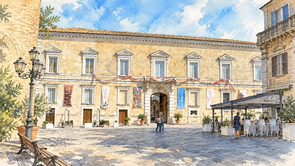
  1. San Giovanni in Venere occupies a commanding coastal setting; a supposed Venus temple remains a hypothesis.

  2. Ortona’s Aragonese Castle represents a distinct phase of coastal defence.

  3. San Vito Chietino and Rocca San Giovanni link the shore with cultivated hinterland.

  4. Trabocchi adapt timber platforms, nets and long arms to work from the rocky coast.

  5. The coastal railway changes movement between the settlements.

  6. The battle of Ortona leaves a history of military and civilian loss.

  7. Punta Aderci and the Lecceta protect different coastal habitats.

  8. The Via Verde reuses a railway corridor, while Vasto’s palace houses civic collections.

Before your visit

Practical information

01

Plan separate days

Choose a manageable set of visits and allow for transport, booked entries and the return journey.

02

Use the exact place name

Similar religious names can refer to different sites. Santo Spirito al Morrone near Sulmona and Santo Spirito a Maiella near Roccamorice require separate journeys.

03

Check the institution

Opening hours, tickets, exhibitions and religious access change. Use the linked managing institution shortly before visiting.

04

Check the actual terrain

A town walk, gorge walkway, lift arrival and mountain path have different demands. Use current route information, weather and closures for the option you choose.

05

Arrange accessible visits

Historic interiors and mountain approaches can include steps, gradients or uneven surfaces. Ask about the specific route instead of assuming an entire destination is step-free.

06

Respect work and residence

Farms, workshops, churches and historic streets remain in use. Follow signs, keep entrances clear and ask permission before entering private spaces.

Method and sources

Sources and image credits

Prepared on 8 September 2026 from the institutional sources linked below. Historical claims are separated from editorial observations and itinerary suggestions. Older institutional brochures are used for stable cultural context, never as current timetables. Prices, transport schedules, trail status and admission are deliberately left to the responsible operators. Illustrations are not photographs, measured reconstructions or evidence of current conditions.

The eleven images are AI-generated editorial watercolours guided by photographic references. They interpret named places and are not photographs or substitutes for measured plans. Opening hours, tickets, accessible routes, temporary exhibitions and conservation work can change; consult the linked official pages shortly before visiting.