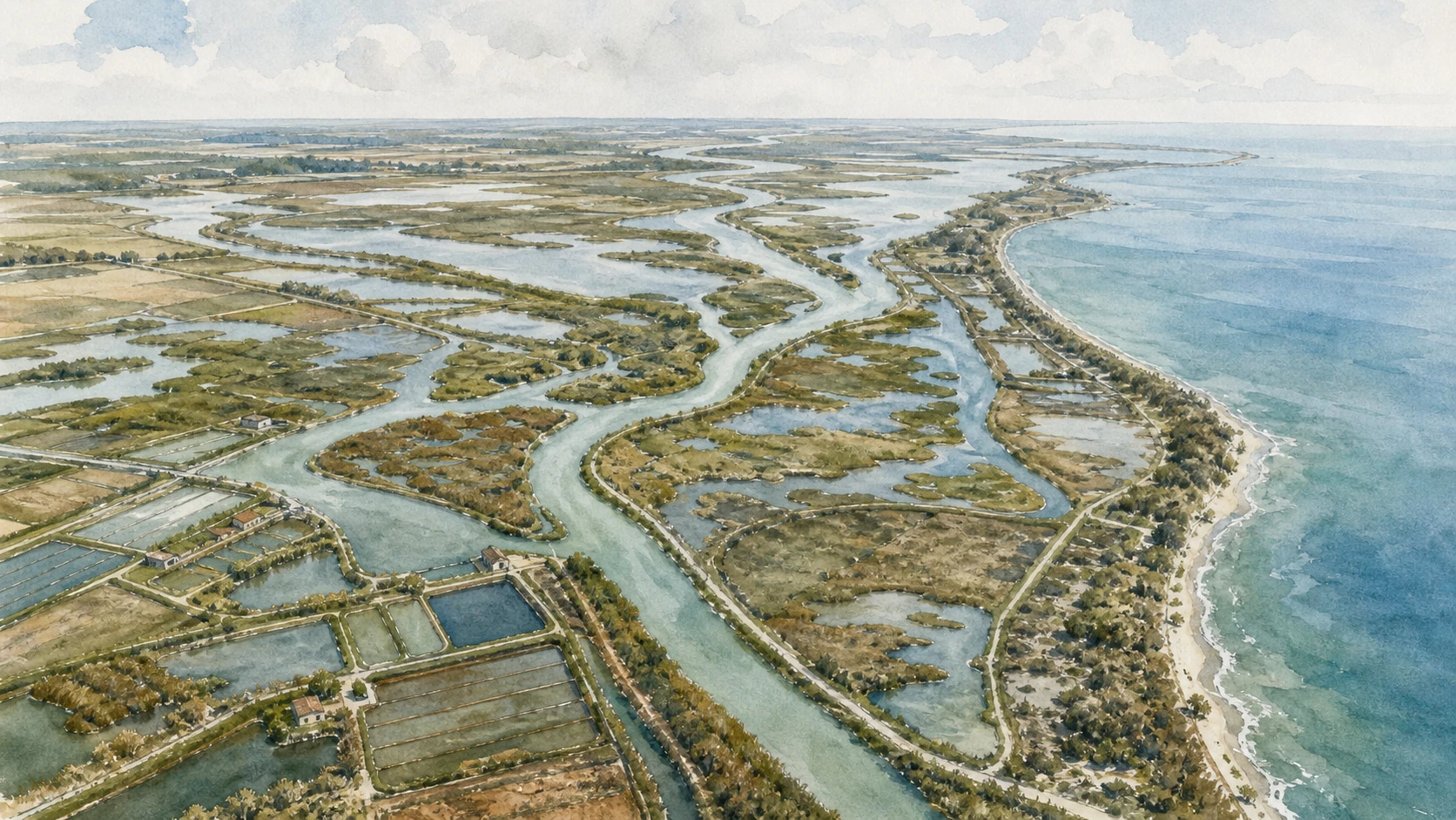
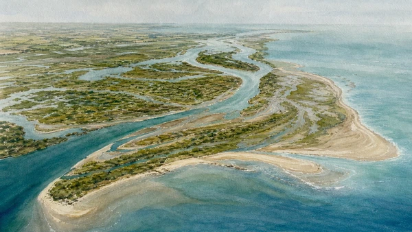
The modern active delta owes much to the Venetian Republic’s Taglio di Porto Viro, begun in 1600 and completed in 1604 to redirect the main river southward. New branches and deposits extended the coast, while older northern sectors became fossil delta. The landscape remains mobile and cannot be understood from a static map alone.
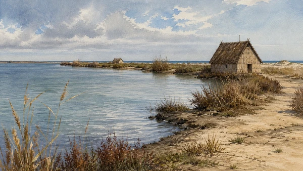
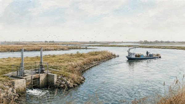
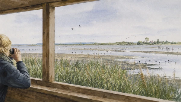
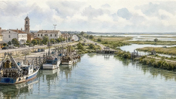
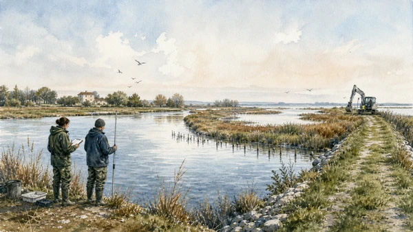
Fishing valleys, lagoons, reed beds and scanni are working and ecological systems. Aquaculture, traditional huts, navigation channels and bird habitat overlap under controlled access. Boat operators, park guides and fishers provide different perspectives; wildlife distance and seasonal restrictions take priority over photography.
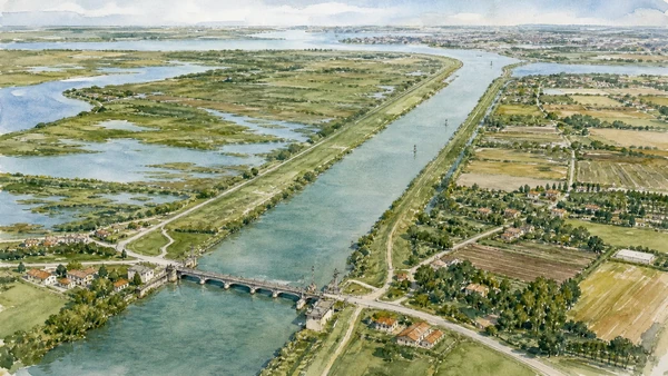
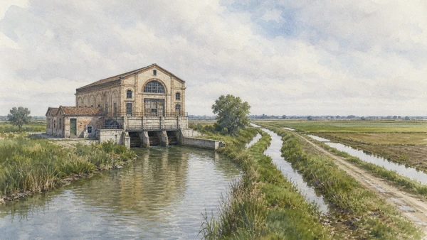
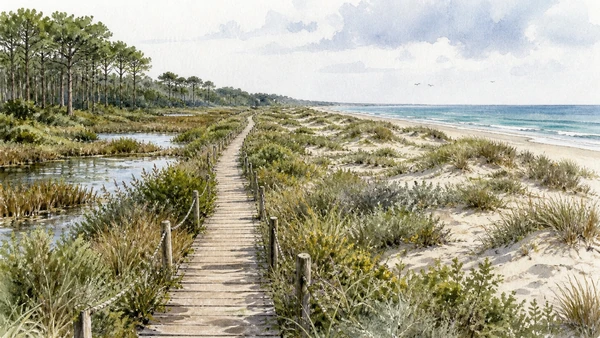
Reclamation pumps and Ca’ Vendramin show the continuous energy required to keep some lands dry. Porto Caleri preserves a transition from pinewood and freshwater habitats to dunes and beach. Porto Tolle’s dispersed settlements and the park’s interregional governance reveal a delta inhabited across administrative boundaries rather than a single attraction.
Use an official guide for at least one boat or valley chapter, pair it with Ca’ Vendramin and Porto Caleri, and leave enough time for wind, fog, heat, mosquitoes, tides and seasonal wildlife restrictions.