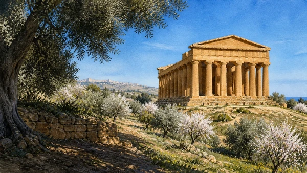
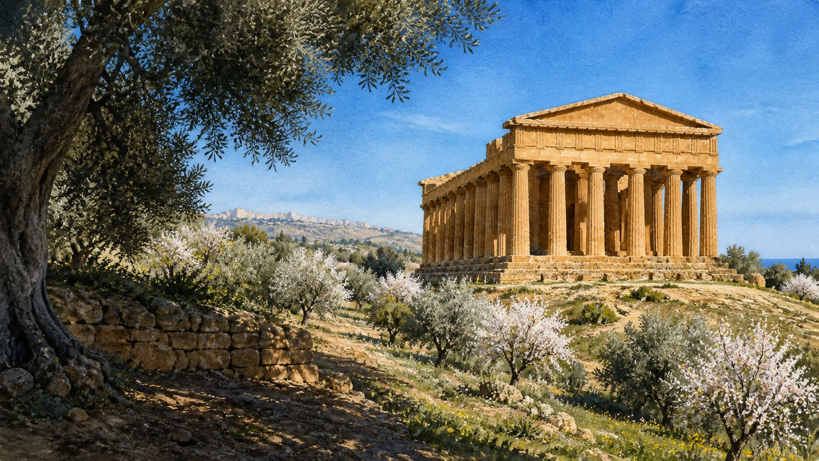
Documentary watercolour of Agrigento's temple ridge among flowering almond trees with the inhabited city visible beyond the ancient landscape
MERLINTRAVEL

Sicily · Journey 04

The Greek south

Temple ridges, port cities, quarries and cultivated frontiers.

The regional idea

Four cities facing Africa and the open Mediterranean.

The southern coast holds some of Sicily's largest Greek urban landscapes, but monumental temples are only one part of the story. Akragas, Gela, Selinunte and Eraclea Minoa were cities with harbours, houses, sanctuaries, cemeteries, farms, defensive systems and territories contested by indigenous, Greek, Punic and Roman powers.

Their positions explain their histories. Temple ridges overlook cultivated valleys; river mouths create routes inland and unstable coastal edges; quarries show how stone moved from landscape to architecture. Cave di Cusa preserves the interrupted process of making columns, while the fields around Agrigento keep agriculture inside an archaeological park.

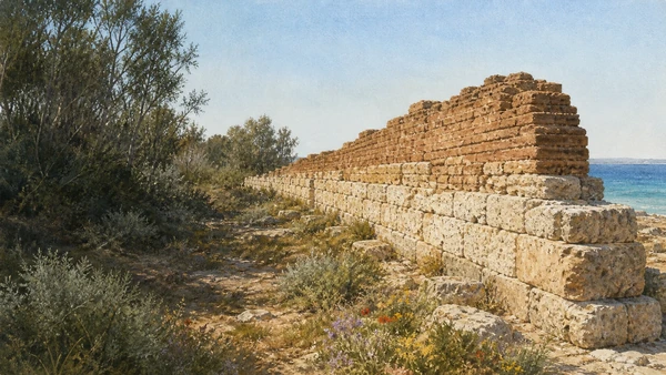
Conflict repeatedly changed these cities. Destruction did not erase occupation, and later use should not be treated as an afterthought. Roman, Byzantine, medieval, wartime and industrial layers are especially important at Gela, where the modern coast refuses the fantasy of an untouched classical landscape.

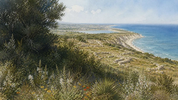
The four guides read ruins at urban scale and place conservation within living territory. Erosion at Eraclea Minoa, protective structures, restoration histories and working agriculture make the present condition of the sites part of the chapter.

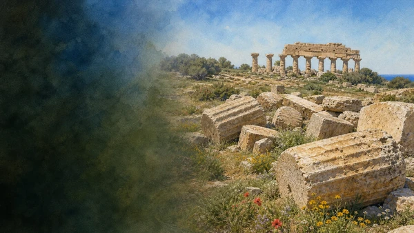
Documentary watercolour of the fallen giant columns of Temple G, the standing Temple E and the spring landscape of Selinunte

Reading the landscape

Cities measured against fields and sea

The south is broad and exposed. Long ridges and low plains make temples visible from afar, but the same openness contains fragile soils, cultivated parcels, roads and expanding modern towns. Coastlines move, river mouths silt and cliffs retreat.

To understand the ancient cities, one must look beyond the standing columns to drainage, quarries, walls, ports and the chora that supplied food and labour. The landscape is the infrastructure of the city.

Four connecting threads

What holds this journey together.

The chapter is organised by relationships between landscape, settlement and historical change. These four threads continue across the individual destination guides.

01

City beyond temple

Houses, streets, walls, cemeteries and water systems restore the urban worlds hidden by monument-centred tourism.

02

Stone in motion

Cave di Cusa reveals extraction and transport before the finished architectural order seen at Selinunte.

03

Cultivated archaeology

Olives, almonds, gardens and fields are not visual decoration but part of the long productive history of the sites.

04

A changing coast

Erosion, ports, war and industry show that the southern shoreline is historical and unstable rather than timeless.

How the guides connect

A comparative journey along the south coast

Agrigento establishes the scale of a city and its sacred ridge. Gela shows an older colonial centre embedded in a modern industrial and wartime shore. Selinunte and Cave di Cusa connect city, temple and quarry at exceptional scale. Eraclea Minoa closes the sequence where archaeology, Capo Bianco and the Platani mouth meet an actively changing coastline.