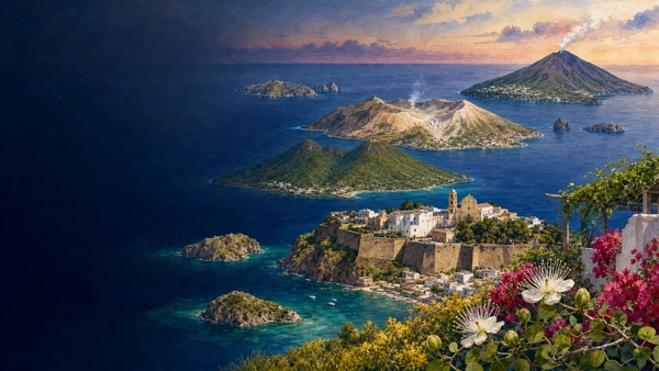
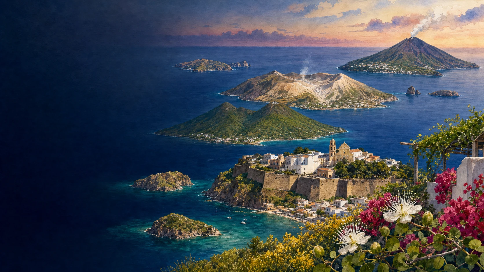
Documentary spring watercolour atlas of the seven Aeolian Islands with Lipari Castle, Salina's twin mountains, Vulcano and Stromboli
MERLINTRAVEL

Sicily · Journey 06

Islands, sea and mountains

Volcanic archipelagos, marine passages, protected coasts and high forests.

The regional idea

Sicily continues beyond its principal shoreline.

The final chapter is deliberately dispersed. The Aeolian and Egadi archipelagos, Pantelleria, Ustica, the Pelagie, the Zingaro coast and the Madonie and Nebrodi ranges occupy different seas and geological worlds. They belong together because each challenges the idea that Sicily ends at the edge of the main island's road map.

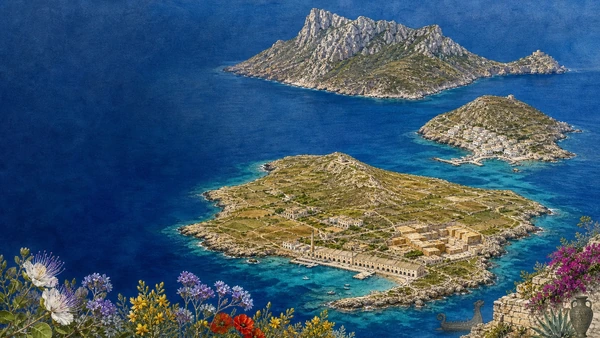
Volcanoes formed several islands, but in different ways and at different times. Obsidian connected Lipari to prehistoric exchange networks; Pantelleria developed dammusi, sesi and alberello vines under African winds; Linosa and Ustica join volcanic terrain to protected marine ecosystems. The Egadi instead reveal limestone, caves, tuna routes and the underwater archaeology of naval conflict.

Sea passages shaped settlement, exile, fishing, agriculture, quarantine, tourism and rescue. Island communities worked with scarcity of water, difficult landings and seasonal connections. Conservation now protects marine habitats while also regulating the economies and access on which residents depend.

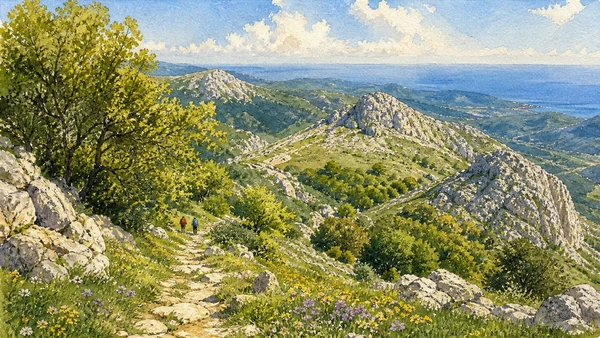
The mountain and coastal parks return the journey to the main island without making nature empty. Zingaro, Madonie and Nebrodi preserve caves, forests, high pastures, villages, agriculture and paths whose cultural history is inseparable from biodiversity.

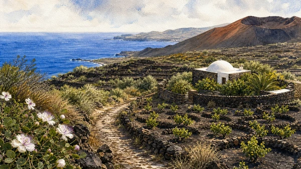
Documentary watercolour of Pantelleria with terraced alberello vineyards, a white-domed dammuso, black lava ridges and the blue Mediterranean

Reading the landscape

Edges that become centres

From Stromboli's active cone to Marettimo's cliffs, Pantelleria's lava coast, Lampedusa's limestone shelves and the beech woods of the northern ranges, this chapter contains Sicily's sharpest environmental contrasts.

Distance does not make these places marginal. Sea lanes, volcanic resources, fisheries, military routes, migration and protected landscapes repeatedly placed them at the centre of wider Mediterranean histories.

Four connecting threads

What holds this journey together.

The chapter is organised by relationships between landscape, settlement and historical change. These four threads continue across the individual destination guides.

01

Volcanoes are not interchangeable

Eruptive activity, rock, soil, water and settlement differ sharply between Etna, the Aeolian Islands, Pantelleria, Ustica and Linosa.

02

The sea as a route

Obsidian, tuna, ships, migration and tourism make water a connective infrastructure rather than empty space.

03

Living inside protection

Marine reserves and parks conserve habitats while negotiating access, work, risk and resident communities.

04

Mountains as inhabited nature

Forests, pastures, villages and paths show that biodiversity and cultural landscape were produced together.

How the guides connect

Five guides across the island's outer geography

The Aeolian guide follows seven volcanic islands as one archipelago. The Egadi guide compares three inhabited islands through prehistory, naval archaeology and tuna culture. Pantelleria and the combined Ustica-Pelagie guide examine distinct island systems and their African horizons. Zingaro, Madonie and Nebrodi close the atlas with protected coasts and highlands on Sicily itself.