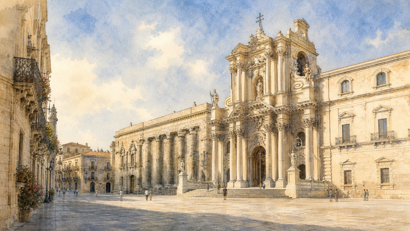
Documentary watercolour of Piazza Duomo in Ortigia, showing the Cathedral of Syracuse with the ancient Doric columns of the Temple of Athena embedded in its side
MERLINTRAVEL

Sicily · Journey 02

Syracuse and the south-east

Harbours, rock necropolises, earthquake cities and the limestone plateau.

The regional idea

A metropolis and the many territories around it.

The south-east is organised by limestone, water and the long reach of Syracuse. Ortigia's harbours face the Ionian Sea; inland, the Anapo and Calcinara cut ravines into the Hyblaean plateau; farther south, wetlands, low coastal plains and river mouths preserve archaeological and ecological landscapes that cannot be separated.

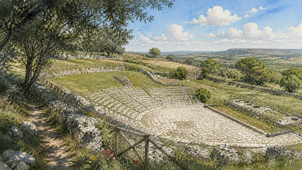
Pantalica records communities that preceded Greek Syracuse. Akrai and Eloro show how the Greek city projected power across its territory, while the Villa del Tellaro belongs to a Roman rural world. Rock-cut churches, catacombs and reused caves add Byzantine and medieval layers to a landscape already shaped by quarries and necropolises.

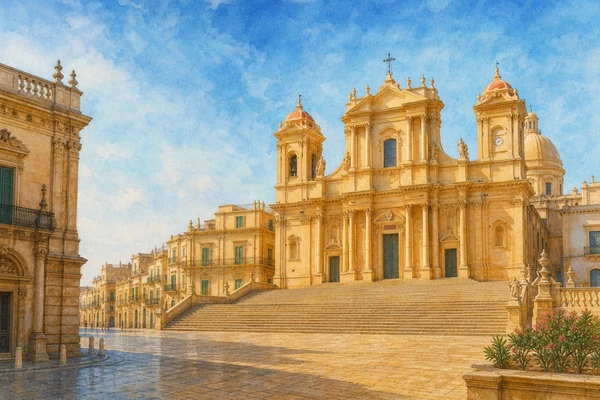
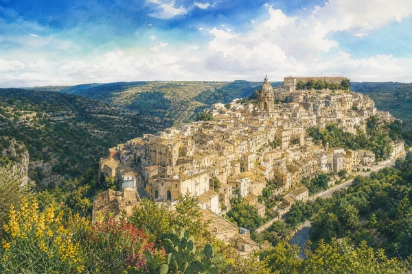
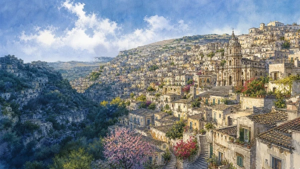
The earthquake of 1693 changed the urban history of the entire region, but it did not produce one uniform Baroque city. Noto was rebuilt on a new site; Ragusa divided between Ibla and Superiore; Modica and Scicli negotiated ravines, slopes and older neighbourhoods; Palazzolo Acreide set its new churches beside the memory of Akrai.

This chapter therefore moves between capital and hinterland, destruction and reconstruction, cultivated plateau and protected coast. The eight guides explain a region held together by routes and historical relationships rather than by a single architectural label.

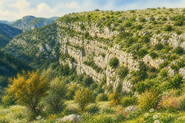
Documentary watercolour of Pantalica showing the limestone walls of the Calcinara canyon, small rock-cut tomb openings and dense Mediterranean vegetation

Reading the landscape

Limestone cities above hidden water

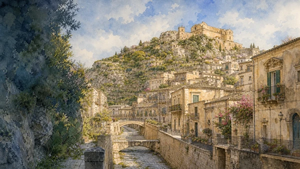
The plateau appears dry, yet water determines its form. Rivers disappear into canyons, springs sustain settlement, cisterns collect rain and wetlands open where the coast flattens. Towns occupy ridges or ravine edges, giving streets, stairways and views a vertical character.

Golden limestone changes with light and helped define the rebuilt towns, but the same rock also carries tombs, quarries, theatres, cave dwellings and rural walls. Natural material and human construction remain inseparable.

Four connecting threads

What holds this journey together.

The chapter is organised by relationships between landscape, settlement and historical change. These four threads continue across the individual destination guides.

01

Before the Greek metropolis

Pantalica and the Hyblaean landscape preserve indigenous histories that are not a preface to be discarded once Syracuse appears.

02

City and territory

Theatre, colony, road, quarry and rural estate reveal how Syracuse's influence extended far beyond Ortigia.

03

1693 and several rebuildings

The earthquake connects the towns, while their different sites and political choices explain why each reconstruction looks distinct.

04

Wetlands as history

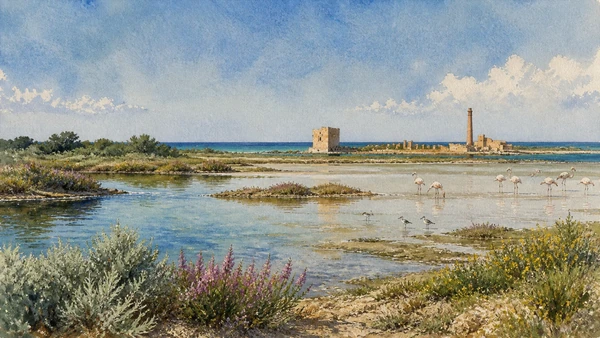
Vendicari demonstrates that migration routes, salt water, tuna architecture and ancient settlement occupy the same coast.

How the guides connect

From Pantalica to the Baroque towns

Syracuse and Ortigia provide the metropolitan centre. Pantalica and Palazzolo Acreide open the inland chronology; Noto, Ragusa, Modica and Scicli compare different responses to earthquake and terrain. Vendicari, Eloro and the Tellaro close the chapter at the coast, where archaeology, wetlands and agricultural estates overlap.