Campania · Independent city-and-bay chapter

NaplesAncient grid, royal capital and living bay

Ten illustrated gateways through a city shaped by Greek streets, Roman infrastructure, worship, dynastic power, museums, tuff, port labour, neighbourhood life and the volcanic bay.

10complete guides
100illustrated chapters
110guide images
Naples is not one historic centre beneath a volcano. It is a layered city held together by streets, tuff, worship, government, port work, neighbourhood life and the bay.
A city chapter within Campania

The ten guides divide Naples by connected territories rather than a monument checklist. Greek streets organise the historic centre; sacred and charitable institutions structure its neighbourhoods; palace, theatre and castle record changing government; museum hills, port and waterfront extend the city across difficult terrain.

Capodimonte and Sanità are not optional detours from the centre, and the port and waterfront are not scenic edges. They explain collection history, burial, community care, maritime labour, infrastructure and the vertical geography of the same inhabited city.

Four systems to follow

Explore the city

The guides connect the historic centre, waterfront and hillside districts with the wider bay.

01

Street, tuff and terrain

Ancient axes, quarry cavities, steep hills, stairs and shoreline works organise every route and building.

02

Dynasty and worship

Cathedral, chapels, confraternities, palace and theatre record different forms of authority and responsibility.

03

Collection and exchange

Markets, museums, workshops, theatres and the port connect objects, labour and Mediterranean exchange.

04

Neighbourhood and care

Homes, schools, transport, community institutions and conservation keep heritage tied to contemporary life.

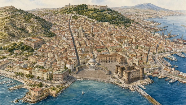
Original illustrated atlas of Naples with ten connected historic-centre, hill, port, waterfront and tuff territories
The bay as a city

Ten gateways across connected terrain.

The Decumani join the ancient and sacred centre; Toledo connects the old city to the royal core; Capodimonte and Sanità explain the northern hills; Castel Nuovo, the port and Chiaia reopen the atlas toward the bay.

The Naples atlas

Explore the ten city guides.

Every card leads to a complete local guide with ten chapters, current official references and eleven distinct documentary watercolours. Public links activate only after the authorised publication pass.

Documentary watercolour for Decumani, San Lorenzo and the Greek-Roman City
01Ancient urban frame

Decumani, San Lorenzo and the Greek-Roman City

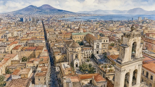
Street grid, walls, Roman market, religious houses, workshops and the discontinuous tuff city below present Naples.

Open guide ↗
Documentary watercolour for Cathedral, San Gennaro and the Sacred City
02Sacred institutions

Cathedral, San Gennaro and the Sacred City

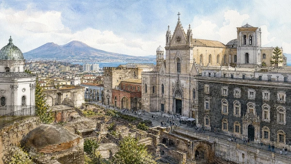
Early Christian layers, cathedral chapels, patronal devotion, treasury, libraries, charity and living worship.

Open guide ↗
Documentary watercolour for Santa Chiara, Gesù Nuovo and Sansevero Chapel
03Cloisters and noble chapels

Santa Chiara, Gesù Nuovo and Sansevero Chapel

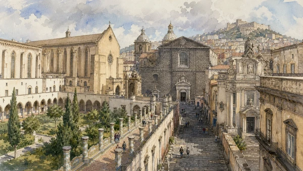
Angevin memory, Jesuit reuse, Baroque sculpture, monastic archaeology and controlled museum interiors.

Open guide ↗
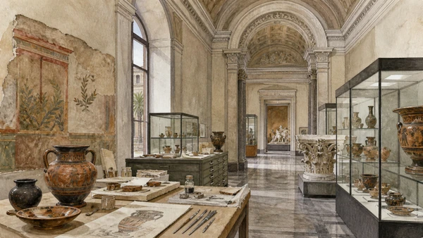
Documentary watercolour for MANN and the Ancient Bay
04Archaeology in the museum

MANN and the Ancient Bay

Farnese collections, Vesuvian mosaics and paintings, domestic objects, conservation and the history of display.

Open guide ↗
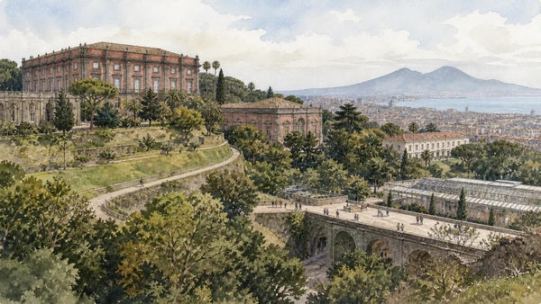
Documentary watercolour for Capodimonte and the Museum Hill
05Royal collection hill

Capodimonte and the Museum Hill

Palace, Farnese inheritance, Neapolitan art, porcelain, royal apartments and the living Real Bosco.

Open guide ↗
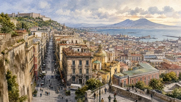
Documentary watercolour for Via Toledo and the Quartieri Spagnoli
06Spanish and modern city

Via Toledo and the Quartieri Spagnoli

Viceregal avenue, inhabited grid, market, metro art, underground infrastructure and the steep western routes.

Open guide ↗
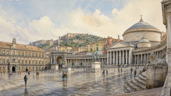
Documentary watercolour for Plebiscito, Royal Palace and San Carlo
07Dynastic and civic stage

Plebiscito, Royal Palace and San Carlo

Palace ceremony, state square, theatre production, Galleria Umberto and working public institutions.

Open guide ↗
Documentary watercolour for Castel Nuovo, Port and Maritime Government
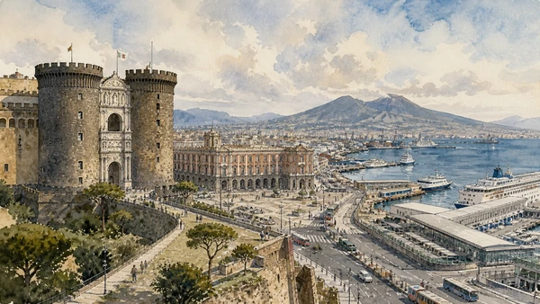
08Castle and working harbour

Castel Nuovo, Port and Maritime Government

Angevin and Aragonese power, civic collections, Municipio archaeology, ferry systems and port labour.

Open guide ↗
Documentary watercolour for Santa Lucia, Castel dell'Ovo and Chiaia
09The constructed coastline

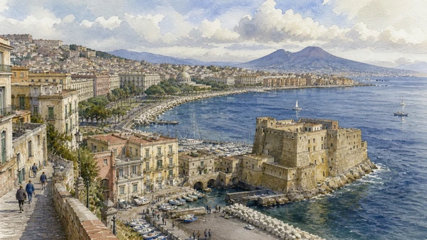
Santa Lucia, Castel dell’Ovo and Chiaia

Castle-islet, maritime quarter, engineered promenade, public gardens, marine science and western harbour.

Open guide ↗
Documentary watercolour for Rione Sanità and the Catacombs
10Inhabited tuff landscape

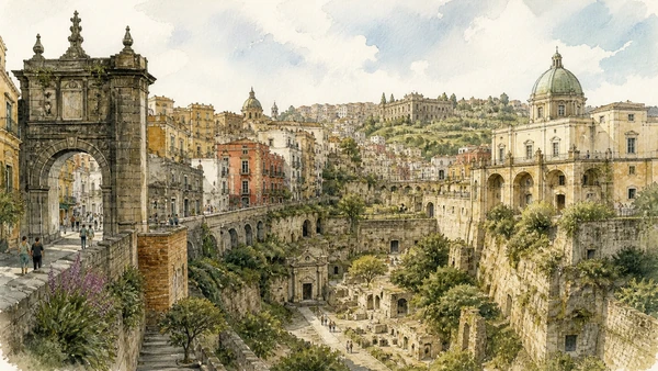
Rione Sanità and the Catacombs

Early Christian burial, Baroque palaces, bridge infrastructure, neighbourhood routes and community-led heritage.

Open guide ↗
How to use the atlas

Build a route that respects terrain and time.

Choose one territory

A complete guide is one full day or two linked half-days, not a race across distant hills and districts.

Check live access

Churches, museums, catacombs, theatres and transport publish different rules; verify the institution before travel.

Read the approach

Street axes, stairs, port edges, conservation and thresholds explain why monuments occupy their places.

Leave room for residents

Doors, worship, markets, housing, school journeys and quiet belong to people who live and work here.

Official starting points

Institutions before shortcuts.

Opening hours and access conditions change. Current institutions remain the final reference for tickets, closures and visitor rules.

Naples begins in its layers.

Ten gateways through the city, the working bay and the communities that keep its heritage inhabited.