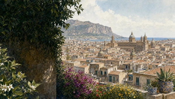
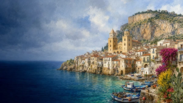
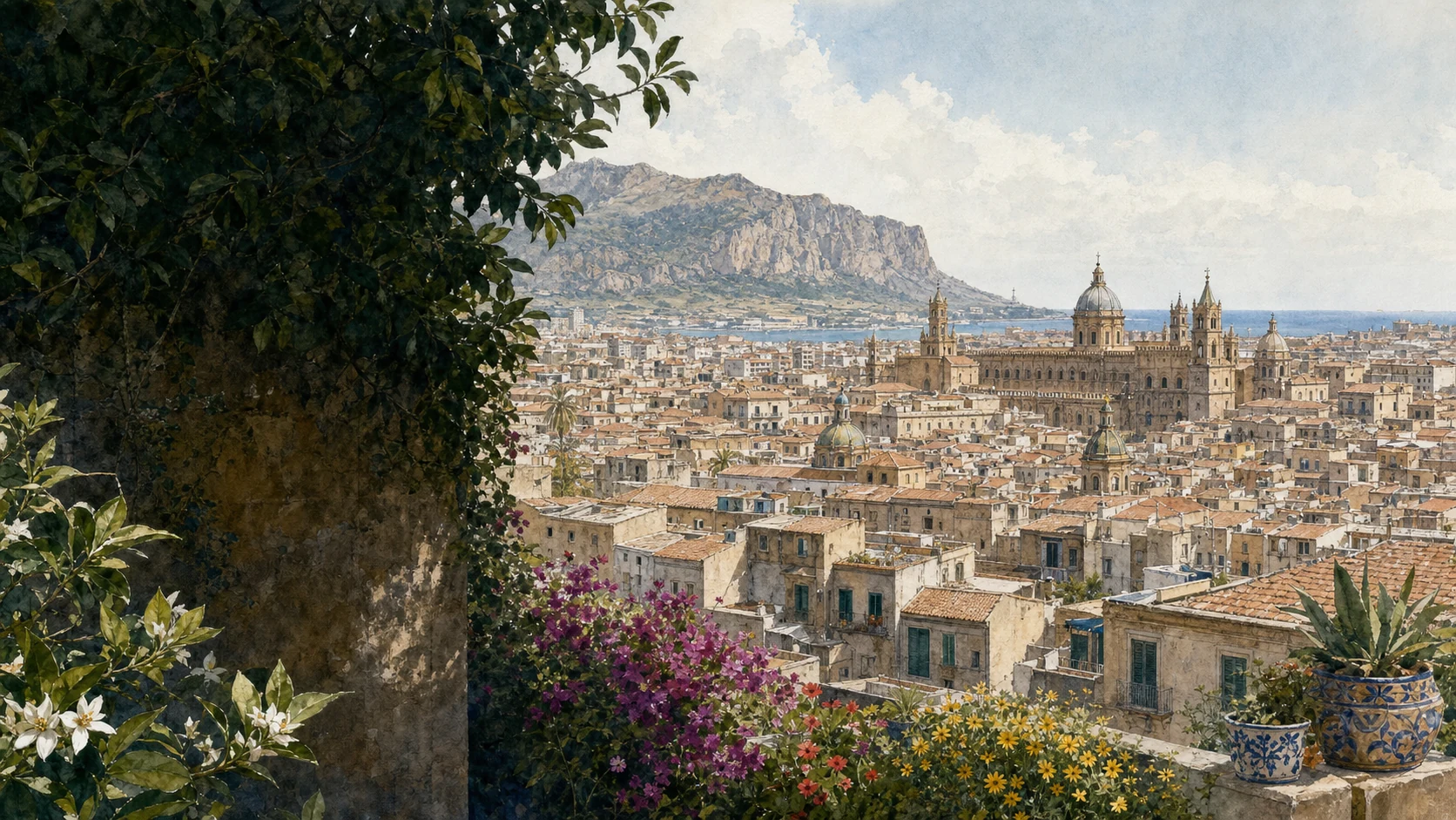
Documentary watercolour of Palermo between the Tyrrhenian Sea and Monte Pellegrino, with historic roofs, domes, gardens and spring colour
MERLINTRAVEL

Sicily · Journey 05

Western crossroads

Elymian mountains, Phoenician harbours, Norman capitals and reconstructed valleys.

The regional idea

The most crowded cultural intersection on the island.

Western Sicily faces several seas and gathers several historical centres. Palermo's plain and harbour, the Stagnone, Trapani's salt coast, the mountain of Erice, the ports of Marsala and Mazara, the Norman foundations of Monreale and Cefalù, and the valleys of the Belìce cannot be reduced to one capital-and-excursions model.

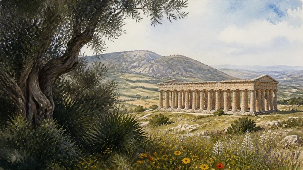
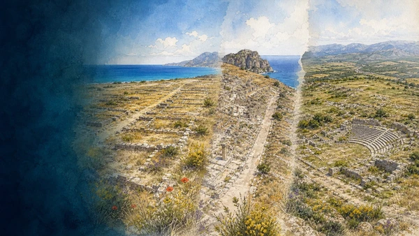
Elymian, Phoenician and Greek communities met through alliance, exchange and war. Segesta, Mozia, Himera, Solunto and Monte Iato preserve different forms of settlement and different relationships with Carthage, the Greek cities and Rome. Later, Islamic Balarm and Norman Palermo reorganised political and artistic networks across the region.

Ports kept western Sicily connected to North Africa, Iberia and the wider Mediterranean. Markets, fishing fleets, salt pans, wine, migrant neighbourhoods and religious traditions show that cultural exchange is not confined to ancient or medieval monuments.

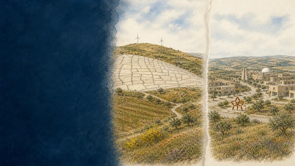
The earthquake of 1968 and the reconstruction of the Belìce add a modern chapter of displacement, planning, art and contested memory. Nine guides are needed because this western crossroads is a network of cities, mountains, islands, valleys and coastlines rather than a single destination.

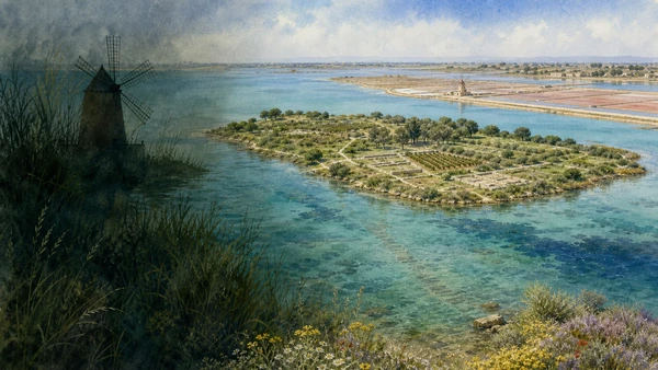
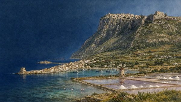
Documentary watercolour of Mozia in the shallow Stagnone lagoon, archaeological walls, salt pans, windmill and western Sicilian light

Reading the landscape

Harbours below mountains, capitals inside valleys

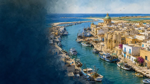
The landscape shifts from Palermo's fertile basin to limestone heights, salt lagoons, offshore islands and agricultural valleys. Short distances produce abrupt changes in scale: royal cathedral, fishing port, archaeological plateau, contemporary art town and marine reserve can belong to the same wider journey.

These contrasts explain western Sicily's density. Mountains command sea routes, islands shelter lagoons, plains support capitals and earthquakes expose the vulnerability of inland towns.

Four connecting threads

What holds this journey together.

The chapter is organised by relationships between landscape, settlement and historical change. These four threads continue across the individual destination guides.

01

Before a single Sicily

Elymian, Phoenician, Punic and Greek sites preserve political choices that cannot be flattened into one classical narrative.

02

Islamic and Norman capitals

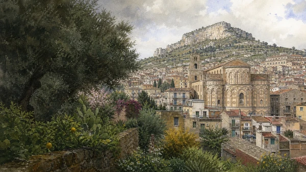
Palermo and Monreale reveal exchange in art and administration alongside conquest, hierarchy and royal power.

03

Ports facing North Africa

Mazara, Marsala, Trapani and Palermo make migration, fishing and commerce part of a continuing Mediterranean geography.

04

Rupture and reconstruction

The Belìce earthquake connects loss, relocation, planning, land reform, public art and the politics of memory.

How the guides connect

Nine guides, one network of exchange

Segesta and the three-city guide establish the indigenous, Phoenician and Greek complexity. Mozia and Marsala, Erice and Trapani, and Mazara follow ports, salt, wine and North African connections. Palermo provides the metropolitan centre, while Monreale and Cefalù examine Norman power across cathedral, monastery and territory. Gibellina and the Belìce bring the sequence into modern reconstruction and contemporary art.

The complete chapter

9 guides to open.

Each card opens one complete illustrated destination guide. No text is duplicated here: this page gives the regional frame, while every guide keeps its own detailed history, places, sources and practical context.